
SLIDE 1
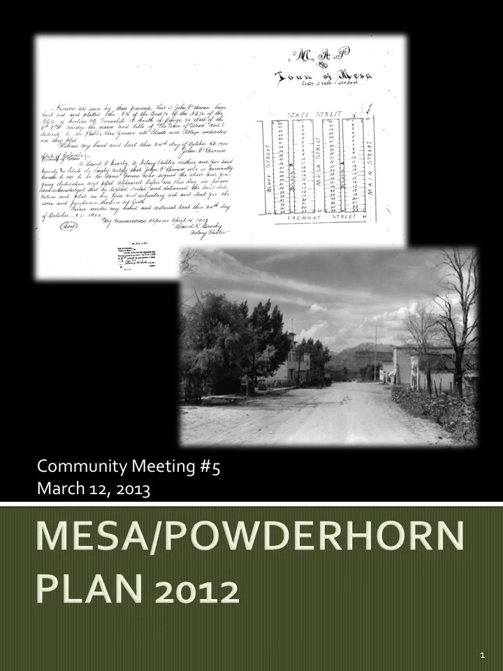
Community Meeting #5 March 12, 2013
1
Community Meeting #5 March 12, 2013 1 To gather input on the - - PDF document
Community Meeting #5 March 12, 2013 1 To gather input on the proposed future land uses in the Mesa Rural Community To accept comments on all other aspects of the draft Mesa/Powderhorn Plan 2 PRESENTATION: Plan Purpose,
Community Meeting #5 March 12, 2013
1
2
▪ Housing ▪ Commercial uses ▪ Water, Sewer and other services ▪ Economic Development: Mesa and the region
3
4
5
6
7
The area’s essential rural & pastoral
Mesa & Powderhorn will grow into two
Healthy core business areas in the two
8
9
10
11
12
13
14
15
16
17
18
19
20
21
22
23
24
Current Option 1 Option 2 Option 3 Tier 1 Acres 1,438 471 337 260 Lots 412-2,774 675-710 410-445 260-295 Comm. ??? 128,000 128,000 128,000 Pop. 875-5,895 1,500 945 625 Tier 2 Acres
685 398 Lots
129-325 75-192 Pop
275-690 160-410 Other
R/A 17
25
26
27
28
29
30
31