Clinton/Hells Kitchen Neighborhood Traffic Study Project Advisory - - PowerPoint PPT Presentation

clinton hell s kitchen neighborhood traffic study
SMART_READER_LITE
LIVE PREVIEW

Clinton/Hells Kitchen Neighborhood Traffic Study Project Advisory - - PowerPoint PPT Presentation

Clinton/Hells Kitchen Neighborhood Traffic Study Project Advisory Committee Meeting # 2 : Tuesday, Decem ber 4 , 2 0 0 7 , 4 :0 0 PM Traffic Planning Division Objectives of Meeting Discuss Scope of W ork : Goals and Objectives


slide-1
SLIDE 1

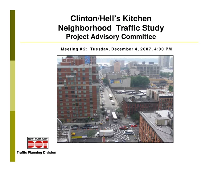
Clinton/Hell’s Kitchen Neighborhood Traffic Study

Project Advisory Committee

Traffic Planning Division

Meeting # 2 : Tuesday, Decem ber 4 , 2 0 0 7 , 4 :0 0 PM

slide-2
SLIDE 2

Objectives of Meeting

Discuss Scope of W ork:

Goals and Objectives Public Outreach Items to be Studied Data Collection Analysis of Existing and Future Conditions Development of Recommendations

Discuss Next Steps Ongoing Role of PAC

slide-3
SLIDE 3

Study Area Boundaries

W est 5 5 th Street 8 th Avenue W est 2 9 th Street 1 2 th Avenue/ State Route 9 A

slide-4
SLIDE 4

Study Goals

Comprehensive transportation plan aimed at:

relieving traffic congestion; improving travel conditions and safety; enhancing quality of life.

Consistent with goals of PlaNYC 2030 and Community Vision For 9th Avenue.

slide-5
SLIDE 5

Objectives

Evaluate existing and future (2018)

transportation conditions focusing on pedestrians, bicycles, vehicular traffic, trucks/ goods movement, parking, transit;

Promote effective community

participation to facilitate identification of issues and development of solutions;

Create a more pedestrian-friendly

environment;

slide-6
SLIDE 6

Objectives (cont’d)

Explore opportunities to improve access to

major destinations and facilities (e.g. Lincoln Tunnel, Port Authority Bus Terminal, Penn Station, Convention Center);

Develop short and long term strategies for

improving travel and traffic conditions in the study area;

Develop consensus on recommendations

for effective early-action and long-term improvement measures.

slide-7
SLIDE 7

Community Outreach

Project Advisory Committee (PAC)

Meetings

Walk-Through and Site Visits Public Meetings Community Board Meetings Mailing List Website

slide-8
SLIDE 8

Project Advisory Committee

Consisting of government agencies,

Community Board # 4, elected officials and community group representatives appointed by elected officials;

Goal: Continuity of representation at

approximately 6 meetings at key milestones;

Participate in identifying issues and concerns,

and in developing and refining priorities;

Provide information, assistance and guidance;

slide-9
SLIDE 9

Public Meetings

  • 1. Initial listening session or charette

community concerns, problem identification preliminary improvements for consideration

  • 2. Study findings –

develop consensus on improvements

  • 3. (If desired) Present and discuss

recommendations

slide-10
SLIDE 10

Public Comments

Web Site:

http: / / www.nyc.gov/ html/ dot/ html/ about/ hellskitchen.shtml (Or, from NYCDOT web site, choose MOTORISTS, then choose CURRENT DOT

  • PROJECTS. A link to the study web page is

listed under PROJECT PLANNING)

Comments can be submitted directly from

the study web page.

slide-11
SLIDE 11

Areas of Analysis

Socio-Economic/ Demographic Land Use/ Zoning Traffic Pedestrians Bicycles Accidents & Safety Parking Transit Goods Movement

slide-12
SLIDE 12

Literature Search and Data Collection

Previous And Ongoing Related Studies Roadway Inventory Pedestrian, Bicycle and Traffic Counts Travel Time and Delay Accident Data Parking Bus Activity Truck Activity Land Use And Zoning Demographic and Journey-to-Work Data

slide-13
SLIDE 13

Land Use, Zoning and Demographics

Current land use Current zoning Ongoing and future

development

1980-2000 Census

data on population, households, auto

  • wnership, age

2000 Journey-to-Work

data

slide-14
SLIDE 14

Pedestrian Counts

slide-15
SLIDE 15

Bicycle Counts

Study Area Class 1 Greenway Class 2 Bicycle Lane Planned/ Proposed Bicycle Route Count Locations

slide-16
SLIDE 16

Traffic Counts

Turning Movement Counts ATR Counts

slide-17
SLIDE 17

Queuing Locations

slide-18
SLIDE 18

Accident Data

NYS accident database for most recent 3 years; Police Accident Reports as needed; Field observations of identified or potential safety

problems

slide-19
SLIDE 19

Transit Operations

  • Inventory of existing and future

MTA/ NYCT/ NJT services;

  • Inventory of tour bus, charter

bus and commuter bus services using study area streets;

  • Inventory of designated on-

street bus boarding and layover locations and bus-only lanes;

  • Observations of bus boarding

and layover activity;

  • Observations of car/ truck

encroachments on bus lanes, stops and zones;

  • Observations of difficult bus

maneuvers.

slide-20
SLIDE 20

Parking

Inventory of off-street and on-street

parking capacity;

Peak hour on-street and off-street

parking utilization counts;

Observations of illegal parking, including

double parking

slide-21
SLIDE 21

Goods Movement

Inventory of off-street facilities

and on-street loading zones;

Observations of loading/ unloading

activity, including double parking;

Inventory of local and through

truck routes and signage;

Observations of truck movements

  • n truck routes and local streets.
slide-22
SLIDE 22

Data Evaluation and Analysis

Dem ographics, W ork Trips, Land Use and Zoning

Analysis of 1980-2000 trends in population, household

size and resident work force, and 2000 jobs, auto

  • wnership, commuting patterns and mode of travel to

work

Analysis of land use trends and associated trip generation

potential and possible traffic impacts Existing and Future Traffic

Establish baseline (2008) traffic conditions:

  • Balanced Network Volumes
  • Volume/ Capacity Ratios
  • Vehicular Delay
  • Levels of Service

Estimate future (2018) traffic conditions, accounting for:

  • background traffic growth;
  • known developments;
  • network changes;
slide-23
SLIDE 23

Traffic Analysis Locations

slide-24
SLIDE 24

Pedestrians

Perform pedestrian level of service analysis Identify accessibility issues and locations of concern;

Bicycles

Analyze bicycle travel patterns, hazards, and

parking; Accidents and Safety

Based on traffic and accident analysis, identify

intersections of concern. Transit

Analyze pedestrian and traffic congestion at bus

stops;

Analyze effectiveness and impacts of current bus

layover and storage operations

slide-25
SLIDE 25

Parking

Assess the adequacy of existing and future

parking supply in relation to demand;

Analyze the effects of parking-related

movements on peak hour traffic flow; Goods Movem ent

Analyze temporal and spatial needs for

deliveries;

Assess the effects of goods movements

generated by retail/ commercial and other developments

slide-26
SLIDE 26

Development of Improvement Plans/Alternatives

In consultation with PAC Near-term and long-term:

  • Street Improvements
  • Transit Improvements
  • Transportation System Management
  • Travel Demand Management

Preliminary feasibility screening followed by

detailed analysis

Develop Measures of Effectiveness (MOE). Evaluate improvement alternatives against

MOE.

slide-27
SLIDE 27

Study Schedule

  • Data Collection: Now – Spring 2008
  • Community Board : Early 2008
  • Public Meeting # 1: Early 2008
  • PAC Meeting # 3: Early 2008
  • PAC meeting # 4: Mid-2008
  • Data Analysis: Summer-Fall 2008
  • PAC # 5, CB4 and Public Meetings: Fall 2008
  • Develop & Evaluate Improvements:

Fall 2008 – Spring 2009

  • PAC Meeting # 6: Early 2009
  • Final Report: Fall 2009
slide-28
SLIDE 28

Next Steps

  • FINALIZE SCOPE
  • ORGANIZE PUBLIC MEETING # 1
  • ANALYSIS OF EXISTING DATA
  • NEW DATA COLLECTION

(Now – Spring 2008)