CLEVELAND AVE. FEASIBILITY STUDY August 2012 PURPOSE Corridor - - PowerPoint PPT Presentation

cleveland ave feasibility study
SMART_READER_LITE
LIVE PREVIEW

CLEVELAND AVE. FEASIBILITY STUDY August 2012 PURPOSE Corridor - - PowerPoint PPT Presentation

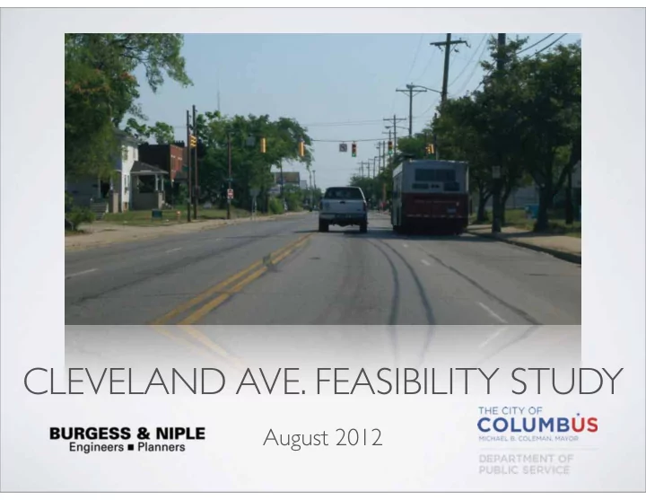
CLEVELAND AVE. FEASIBILITY STUDY August 2012 PURPOSE Corridor identified in Bicentennial Bikeways Plan (BBP) Summary of report Gather feedback EXISTING CONDITIONS Broad St. to Westerville Rd. Typically 4-lanes 10' - 11'


slide-1
SLIDE 1

CLEVELAND AVE. FEASIBILITY STUDY

August 2012

slide-2
SLIDE 2

PURPOSE

  • Corridor identified in

Bicentennial Bikeways Plan (BBP)

  • Summary of report
  • Gather feedback
slide-3
SLIDE 3
slide-4
SLIDE 4
slide-5
SLIDE 5

EXISTING CONDITIONS

  • Broad St. to Westerville Rd.
  • Typically 4-lanes
  • 10' - 11' lanes
  • Parking and bus stops
slide-6
SLIDE 6

USE EXISTING ROADWAY

  • Existing roadway width is 40'
  • Minimum 54' width required

(4 -11' Lanes & 2 - 5' bike lanes)

  • Existing roadway 14' too

narrow

  • Moving curb & drainage

structures costly ($3.1-mil)

Existing 4-Lane Section Ultimate 4-Lane Section (requires 14' widening)

slide-7
SLIDE 7

ROAD DIET

  • Investigated reducing vehicle

lanes

  • ADT in excess of 20,000
  • Poor LOS (E & F)
  • Requires removing parking
slide-8
SLIDE 8

ALTERNATE ROUTES

  • Road diet not feasible
  • Few parallel routes (south

end)

  • Fourth St. (0.33-miles west)
  • St. Clair Ave. (0.5-miles east)
slide-9
SLIDE 9

BROAD ST. TO ESSEX AVE.

  • Use Cleveland Ave. at south end
  • Connects to future Broad St.

bikeway and Downtown Bikeway Connector

  • Broad St. to Westbound I-670:

Sharrows (no parking)

  • WB I-670 to Essex Ave.: Signed

route (parking)

slide-10
SLIDE 10

ESSEX AVE. TO WESTERVILLE RD.

  • Cleveland Ave. cuts across street grid
  • Developed criteria for routes
  • Pavement Conditions
  • Traffic Volumes
  • Speed
  • Connection to BBP Routes
  • Two routes identified
slide-11
SLIDE 11

WEST ROUTE

  • Connects to four future

bikeways

  • Connects to three east-west

connectors

  • Meets criteria established
  • Utilizes residential streets shown

in Columbus Metro Bike Map

  • Sharrows and signs
slide-12
SLIDE 12

EAST ROUTE

  • Connects to two future east-

west connectors

  • Meets criteria established
  • Utilizes many residential

streets

  • Joyce Ave. 0.08-miles to east
slide-13
SLIDE 13

PREFERRED ROUTE

  • Broad St. to WB I-670: Sharrows
  • WB I-670 to Essex Ave.: Signed Route
  • West Route - Essex Ave. to future

Dresden St. Bikeway

  • Connects to several east-west

connectors

  • Connects to future north-south route
  • Approximately $110,000
slide-14
SLIDE 14

QUESTIONS & COMMENTS

Brian Moore, PE

brian.moore@burgessniple.com

Nick Popa, PE

njpopa@columbus.gov