SLIDE 5 2018-05-08 5
5/8/2018
- 4. Future Transit Initiatives
Goal: Explore the possible development of a Transit Corridor (TC) to/from Leduc’s west side and identify potential alignments. Benefits: Develop a stronger synergy between transit and land use by encouraging Transit Oriented Developments (TOD’s). Background: Relevant Studies & Plans
- Edmonton International Airport Master Plan 2010-2035
(2010)
- Aerotropolis Integrated Land Use Compatibility Plan (2011)
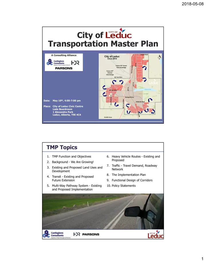
- City of Leduc Municipal Plan (2012)
- City of Leduc Transportation Master Plan (2013)
- Alberta Aerotropolis Viability Study (2015)
- Queen Elisabeth II and 65th Avenue [Leduc] Interchange
Functional Planning Study (2016)
Potential rapid transit alignments into west Leduc.
“A”: Grand MacEwan Boulevard “B”: West periphery (Deer Valley, West Haven
and Suntree Estates)
“C”: Central (integrated within NW 33, Crystal Creek,
Woodbend and SW28, NW21 communities)
“D”: 74th Street Proposed Potential Options: 4 corridors were assessed
5/8/2018
- 4. Transit Corridor Alternatives
Transit Corridor (RTC) Extension Options PROs & CONs based on:
- Existing and Future Conditions
- City of Edmonton Transit Oriented Development Guidelines (2012)
A: Grand MacEwan Boulevard
Optimum catchment area for RTC, equidistant from the western city limit and the QEII Corridor. Existing development (single family residential dwellings along curvilinear cul-de-sac neighborhood street and backyards or side yards facing the corridor) does not support the ridership required. Significant redevelopment would be required to support increased transit ridership. Parking Management Plan would be required.
B: West periphery (Deer Valley, West Haven
and Suntree Estates)
Opportunities to develop compact mixed-use TOD at strategic locations. Amendments to ASP’s would be required for future developments to the east side of the corridor. Re-development along this alignment is very unlikely as these communities are relatively new. Parking management may be required.
C: Central (Integrated within NW 33, Crystal
Creek, Woodbend and SW28, NW21 communities)
The area is next to be developed. Limited opportunity to amend the existing ASP’s and outline plans. The RTC would serve the entire west community. Consistent with the conceptual landuse as presented in the Aerotropolis integrated land use compatibility plan. Opportunity to consider parki’n’ride stations to increase ridership.
D: 74 Street - PREFERRED -
These lands are currently underdeveloped. Opportunity to amend the existing MDP and ASPs to conform with and support the establishment of a future RPT. Planned urban uses on the west side of the corridor (County land). Urban/Rural interface remains to be determined. Current ASPs propose primary residential. Opportunities for significant intermunicipal planning and development coordination.