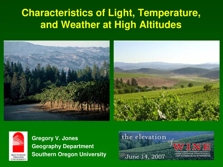
SLIDE 1
Characteristics of Light, Temperature, and Weather at High Altitudes
Gregory V. Jones Geography Department Southern Oregon University June 14, 2007
SLIDE 2
Talk Outline
Weather and Climate Influences and Hazards What Defines “High Elevation”? Weather and Climate Influences of Upland Zones Conclusions
SLIDE 3
Weather & Climate Influences/Hazards
Extreme Winter Temperatures
Vine hardiness, survival
Spring & Fall Frosts, Frost-Free Period
Spring: damage to tender shoots Fall: leaf drop, end of photosynthetic activity & ripening, damage to next year’s buds
Growing Season Temperatures
Averages, Extremes Heat Accumulation Ripening Period DTR
Ambient Moisture & Precipitation
Growth Potential, Disease Potential Bloom Disruption (coulure) Ripening Disruption (dilution/splitting) Extreme Events Hail, wind, heavy rain, etc.
SLIDE 4
Characteristics of weather and climate are broadly influenced by four main geographical factors: Latitude Continentality Altitude Topography Geographical Factors
SLIDE 5 Large Scale Terrain Effects on Weather
Elevated areas have 3 types of effects on weather in their immediate and downwind vicinity:
- 1. The modification of synoptic weather systems (airflow) by
both dynamic and thermodynamic processes (with considerable depth).
- 2. Recurring and distinctive regional weather conditions …
local winds and cloudiness and precipitation patterns.
- 3. Slope and aspect variations that operate on the scale of
100-1000 ft. and produce a mosaic of topoclimates.
SLIDE 6
What Defines “High Elevation”
A vineyard planted in Argentina The difference in vineyards planted in Carneros vs Amador County Or a block at the bottom and top of this vineyard
SLIDE 7 Stone Mountain Vineyards, VA 1700 ft Alta Seca Vineyards, OR 2450 ft Etchart Cafayate Vineyard, Argentina 5560 ft Terror Creek Vineyard, CO 6417 ft
SLIDE 8 Chateau Aigle, Switzerland 3100 ft Central Atago, NZ 1400 ft Douro Valley, Portugal 2000 ft Madroña Vineyards, CA 3000 ft
SLIDE 9
Relative Relief – the difference in elevation between the highest and lowest points in an area Absolute Relief – the difference in elevation between a given location and sea level In most vineyard areas relative relief is the most important aspect of elevation differences … producing local topographical effects on weather and climate However, very high absolute relief can drive significant differences in weather and climate compared to lower elevations at similar latitudes
Elevation and Relief
SLIDE 10
Elevation and Relief
SLIDE 11
- 1. Local elevation differences (~ 1°F per 275 ft or
3.6°F per 1000 ft) Highly modified by slope, aspect, diurnal characteristics, proximity to coast, etc. Varies by latitude, season, and moisture level
Local Relief or Topographical Influences
SLIDE 12
- 2. Slope effects on air movement (varies by aspect)
Diurnal winds, inversions, thermal zones
Cold air source
Local Relief or Topographical Influences
Thermally-driven by mountain-valley configuration, more mesoscale influences but can be driven by macroscale factors
SLIDE 13
- 4. Slope & Aspect effects on heat loading and retention
Both air & soil temperatures, high latitude effects
Local Relief or Topographical Influences
Solar Illumination based on Radiative Potential Amount of energy received by a sloping surface compared with a horizontal surface (NH, 45º latitude).
SLIDE 14
- 5. Proximity to bodies of water
Latent heat retention, buffered temperatures
Local Relief or Topographical Influences
SLIDE 15 Absolute Relief Influences
- 1. Temperature differences (~ 1°F per 275 ft)
Typically lower averages, lower heat accumulation, higher diurnal temperature range
100 200 300 400 500 600 700 800 900 1000
Jan Feb Mar Apr May Jun Jul Aug Sep Oct Nov Dec
Month Growing Degree-Days (base 50°F) Fort Bragg 120 ft Ukiah 630 ft Clearlake 1350 ft Willows 230 ft Marysville 90 ft Auburn 1290 ft Placerville 2750 ft Blue Canyon 5280 ft Truckee 6020 ft 1123 1989 3662 4121 4911 4270 3048 3487 1340
GrDD
SLIDE 16 Absolute Relief Influences
- 2. Pressure and density differences
Effect of gravity, lower density of all constituents
Roughly … 89% at 3000 ft 78% at 6000 ft 60% at 9000 ft
SLIDE 17
Carbon Dioxide
Along with water and nitrogen, CO2 levels are one of the major limitations to plant growth The percentage of CO2 in the air at two miles is roughly the same as at sea level (0.03%). However, the relative abundance of CO2 compared to O2 decreases CO2 uptake by plants is typically less at higher altitudes and limits photosynthesis and productivity … nanism common. CO2 gradient from atmosphere into leaves is less, plants physiologically adapt to lower gradient by increasing stomata size and number. An integrated, full impact on grapevines and wine is not completely known at this time.
SLIDE 18 Absolute Relief Influences
Higher elevation surfaces both gain and give off heat quickly (sun/shade effect), higher intensity, more UV
SLIDE 19 Ultraviolet Radiation
Rarefaction – at higher altitudes, a thinner atmosphere filters less UV radiation … + 3% to 4% per 1000 ft. Research is not conclusive, UV exposure should increase phenolic and color levels … but other factors may lesson the influence. Recent research shows that some diseases in grapes are due to a combination of water stress and high UV-B radiation. Chlorophyll degradation in the leaves and berry skins
- ccurred more rapidly in high UV-radiation environments.
UV radiation levels are mostly stable, but some regions have shown an increasing trend (S. Hemisphere & Europe) and others a declining trend … global dimming (cloud & pollutant effect).
SLIDE 20 Absolute Relief Influences
- 4. Moisture patterns … marked spatial and temporal
variability Orographic rainfall, valley and upslope fogs Combination of drying winds and low humidity result in more rapid dehydration in some regions But potential ET rates can decrease in others
SLIDE 21
Mechanisms of orographic precipitation:
(a) Seeder-Feeder mechanism; (b) upslope condensation; (c) upslope triggering of convection; (d) upstream triggering of convection; (e) thermal triggering of convection; (f) leeside triggering of convection; (g) leeside enhancement of convection.
SLIDE 22
Complex Terrain = Complex Inversions
Inversion depths Inversion strength Inversion break timing
SLIDE 23 Absolute Relief Influences
Channeled flow, turbulence, desiccation potential
The direction of the winds relative to the shape of the mountainous area will affect the way that winds move over the mountains. The greatest vertical motion is created with winds that move perpendicular to the mountain range.
SLIDE 24 Forced Channeling Forced Channeling Pressure Driven Channeling Pressure Driven Channeling
Channeling of Synoptic/Mesoscale Winds
SLIDE 25
Range of Wind Flow Characteristics over Elevated Terrain
SLIDE 26
Conclusions
Elevated climates can be characterized by a rather distinctive combination of temperature, radiation, wind and rainfall patterns, as well as larger climate variability, over both spatial and temporal scales compared with lowlands at the same latitude. Many complex interactions and effects are hard to isolate While growing seasons are shorter at higher elevations, plant growth can be intense because of a favorable radiation climate and a marked contrast between day-time and night-time temperature (reduced respiratory loss). Radiative and CO2 effects are likely the most important Clearly more research into how the various weather and climate parameters at higher elevations influence vine growth, fruit composition, and wine quality is needed.