
SLIDE 1
Bicycle Infrastructure
March 2018
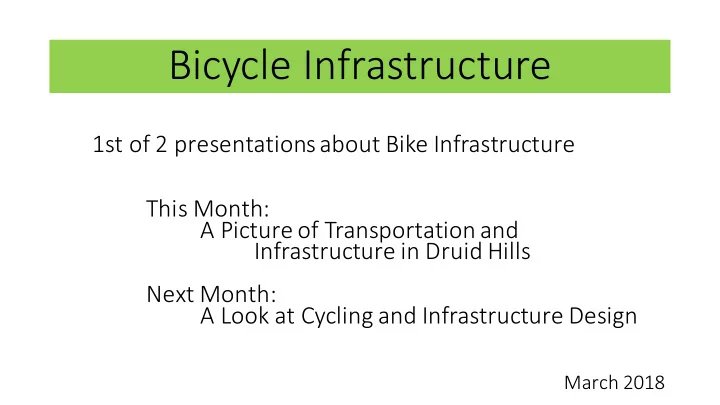
Bicycle Infrastructure 1st of 2 presentations about Bike - - PowerPoint PPT Presentation
Bicycle Infrastructure 1st of 2 presentations about Bike Infrastructure This Month: A Picture of Transportation and Infrastructure in Druid Hills Next Month: A Look at Cycling and Infrastructure Design March 2018 Druid Hills Well use
March 2018
We’ll use this map to look at existing transportation infrastructure in DH.
–– GA DoT Major Arterial –– Minor Arterial –– Minor (connecting) –– Minor
Street maps also show urban planning design:
access Street maps generally do not change over time. This basic layout is what we have to work with in DH.
exit points for all DH transportation access
serve DH
station–East Lake station at the SE corner Emory Cliff routes are not shown on this map, but all off- campus routes use the same streets as MARTA routes.
Water and Rail
For transportation planning, water and rail are similar:
around them
create corridors for pedestrian and bicycle travel.
–– Public Park –– Private but Open to the Public –– Private
Travel sheds are a useful design parameter for urban planning.
mile to reach a destination
miles to reach a destination
If a given travel shed contains a neighborhood’s basic needs and destinations, then walking and cycling may be viable options for travel within the area. If mass transit is available within a given travel shed, then walking and cycling become viable options for travel throughout the city.
Destination Points
And many more: Museums, Performing Arts, DH Golf Club, Churches, Playgrounds, … For reference, walking distances:
High School – 0.8 miles
Elementary – 1.1 miles
1.2 miles
– 1.4 miles
Museum – 1.5 miles
Village – 2.3 miles
4 miles
(revisited)
Urban Planning Definition:
Streets vs. Roads Road = the paved bit on which you drive. Street = the full right-of- way, typically from sidewalk to sidewalk Urban Planning Concept: “Design streets as if they are the most important public spaces – because they are.”
Our ability to move around is dictated by this layout. 1-mile, 3-mile... walk, bike or drive – this is how you get there.
–– ADA Compliant –– Mixed - Some ADA Issues –– Poor or Unsafe Condition –– No Sidewalk
showing their age.
with the American Disabilities Act (ADA).
have no sidewalks at all.
Fernbank Elementary is especially poor.
backlog of sidewalk repairs in Atlanta* – expect no change in our sidewalks any time soon.
*reference: PEDS, 2018
infrastructure currently exists within DH.
lane on one side of a street.
at Emory Clairmont Campus will connect to Toco Hills library & existing Mason Mill / Medlock trail network.
“Promenade” along Ponce was intended as a pedestrian walkway, but quickly became used as a protected multi-use trail.
–– Painted Bike Lane –– Protected Bike Lane –– Trail
“Cycle Atlanta” is a bicycle route data collection app developed jointly by GA Tech & the Atlanta Bicycle Coalition (ABC).
slanted heavily toward Atlanta.
informative for visualizing cycling patterns in DH (map center).
cycleatlanta.org
Surrounding Bike Infrastructure
DH shown in map center (black). Potential connections:
Next Month: A look at cycling & infrastructure design