
SLIDE 1
BHATE Geosciences Corporation
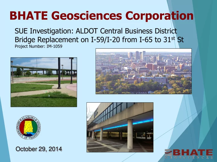
SUE Investigation: ALDOT Central Business District Bridge Replacement on I-59/I-20 from I-65 to 31st St
Project Number: IM-1059
BHATE Geosciences Corporation SUE Investigation: ALDOT Central - - PowerPoint PPT Presentation
BHATE Geosciences Corporation SUE Investigation: ALDOT Central Business District Bridge Replacement on I-59/I-20 from I-65 to 31 st St Project Number: IM-1059 October 29, 2014 ALDOT - Central Business District I-59/I-20 from I-65 to 31 st Street
Project Number: IM-1059
through the City of Birmingham’s Central Business District (CBD).
new construction, detailed information on subsurface utilities was required for the planning and design.
and bridge widening on I-59/I-20 and I-65
North interchange, and the I-59/20.US 31(Red Mountain Expressway) interchange are planned.
locations performed by multiple consultants
(since late 1800’s) with multitude of utilities. It was necessary to verify that the proposed boring locations were free of subsurface high value utilities
cables and other sensitive targets that could be significantly disrupted and impacted in case of damage during field exploration.
BHATE provided pre-drilling SUE services to locate the utilities and clear boring locations to manage subsurface conflicts and reduce risk of potential damage.
Approximately 500 boring locations scanned
Nearly 20% of the borings were impacted by subsurface utilities and had to be shifted.
Used geophysical methods to clear safe boring
locations
between actual and One Call marked utilities.
After scanning and relocation of the borings
where conflicts were indicated, 100% of scanned borings were safely drilled.
Considerable potential cost savings in regards to
interruptions in service and/or utility repair had this scanning not been done prior to commencing
One-Call could not be completely relied upon.
Phase I: 31st Street North and 12th Avenue North Phase 2: I-59/I-20 and I-65 Interchange Phase 3: 12th Court North Phase 4: CBD Interchange Ramps Phase 5: CBD Bridge Demo and Replacement
Preconstruction Planning
that occur during the construction phase of highway projects (FHWA-IF-02-048)
Cost Management
investigation can save significant costs caused by delays, repairs, change orders etc.
Utilities management
conditions and depths
prior to final design completion
Avoid risks
Safety
“ALDOT realizes utility identification, relocation
Want nothing to slow or disrupt progress Can’t stand any surprises! “That is why ALDOT is going through this effort
Four (4) main utility data quality levels established
Provides a means of obtaining a professional
Utility Quality Levels
Records Research- QL-D – First Step
back to late 1800’s.
Utilities, Alabama Gas, Alabama Power, Birmingham Waterworks etc.
utilities present in the area and their likely location and depth.
confirm if there is a conflict with a proposed construction activity
Field Observation- QL-C – Second Step
indicators
features
Geophysical Investigation- QL-B
determine the existence and position of utilities.
However, we often find discrepancies in lines located by these agencies and actual field conditions.
This included in-situ verification of utilities using GPR and other NDT methods
Ground-Penetrating Radar– multiple SIR 3000 utility carts by GSSI. Multiple antenna frequencies available. Multi-channel GPR system - a 14-channel- cart-based ground penetrating radar unit that is typically towed behind a vehicle during survey operations. Optical Equipment- using visible light as an electromagnetic method. For example, using a laser through a pipe from one vault to another. FLIR ThermaCAM EX320 infrared cameras RD7000 cable and pipe locators and Tx transmitter - induces a frequency into a buried pipe or cable and allows the user trace out the alignment of the utility on the ground surface Ferro magnetic locators- locating and pinpointing buried metal objects such as manholes and metallic pipes
Actual Exposure- QL-A
This level was implemented in limited areas where
Level B information was limited and high risk underground utilities required in-place exposure and verification of type and depths.
minimally intrusive excavation equipment (vacuum extraction) to minimize the potential for utility damage
recorded and used to verify provided information
Records Review QL-D - Sanborn Maps
and other sources revealed:
Foundry, Machine Shop, Storage Yard 10-15 Tanks were identified Multitude of old utilities – it was
unknown which utilities were abandoned.
QL-D and QL-C investigation uncovered numerous inconsistencies.
Utility records from Alabama Power, Jefferson County Environmental Services and Water Works did not match in- field conditions. Manhole covers not found in the field but present on the utility records.
Information on abandoned and active utilities was not clearly documented and would require further verification.
Utilities marked in the field by One-Call were not consistent with the records provided by utilities.
Level B SUE work is pending and will be implemented in this area and supplemented by Level A, as necessary.
QL-D and QL-C also uncovered discrepancies
etc.
the drawings provided by utility companies did not accurately reflect in-ground conditions.
QL-B investigation was performed to verify the location
alignment
were covered up by existing pavement with no visible signs on the surface.
utilities were found.
locations were resolved. Conflicts between actually existing utilities and proposed construction were identified.
QL-D and QL-C investigation revealed various discrepancies.
gas, steam, etc., were inconsistent with in-field surface indicators.
QL-B investigation was performed to verify the location of
buried utilities beneath the proposed CBD bridge alignment
underground utilities were verified at each intersection and right of way.
construction were identified.
QL-A was performed on a 115 KV oil-cooled electrical
transmission line and 30 inch main water line
Actual location, depth, material and condition was
verified for the proposed CBD construction plans.
Further QL-A was needed and currently in progress
along 9th Ave. N
Upon completion of QL-B and QL-A, Volkert surveyed the
alignment and depth of target utilities identified and marked in the field by BHATE. Deliverables included the following:
locations.
Preparation Manual.
conflicts with the proposed construction.
The findings are reviewed with ALDOT for Impact Assessment. Areas selected for further exploration using Level A assessment.
BHATE mapped the location of utilities using a
combination
provided drawings from utility companies and historical research.
Compared the results of the subsurface utility survey to
the field features and drawings to validate the available information and resolve differences in the information from QL-D, QL-C and QL-B.
When necessary, conducted additional searches and
performed field operations to clear discrepancies between records and subsurface survey.
When necessary, exposed selected subsurface utilities
to obtain three-dimensional information using minimally invasive methods. QL-A. Resolve discrepancies and update drawings.
The SUE process implemented for the CBD project
revealed information that was undocumented
unknown and will now significantly aid in the final design, conflict resolution with underground utilities or remnants from other developments in this area over the past 100+ years.
Uday R. Bhate, P.E., Senior Principal Marc Langlois, P.G., Senior SUE Manager Jeremiah Bishop, M.S., Project Manager Jordan Middleton, B.S.C.E., Manager Field Services Chuck Grostick, B.S., Certified Senior GPR/SUE Technician Sarah Samples, Project Information Coordinator
FHWA-Utility Relocation and Accommodation on
Federal-Aid Highway Projects- January 2003
Utility Accommodation Utility Relocations, Adjustments and Reimbursements Communication of Utility Data Risk and Impact Analysis Cost Estimate Procedures Other Issues
ASCE Standard CI/ASCE 38-02
Basis for:
Construction Plans Prior to Excavation
Relocations
ALDOT Utilities Manual