SLIDE 1
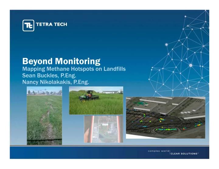
Beyond Monitoring
Mapping Methane Hotspots on Landfills Sean Buckles, P.Eng. Nancy Nikolakakis, P.Eng.
SLIDE 2 Presentation Outline
- Landfill Gas Emissions
- Emissions Mapping Technology
- The Calgary Methane Emissions Mapping Program
- Issues and Opportunities
SLIDE 3 Landfill Gas Emissions
- Landfill and Cover Construction
- The Calgary Context
- Regulatory Context
SLIDE 4 Landfill and Cover Construction
From ecolandfillsolutions.com.au
SLIDE 5
Landfill and Cover Construction
SLIDE 6 The Calgary Context
- Calgary has a net evapotranspirative climate – less
moisture getting to the waste.
- Wastes frequently undergo minimal degradation, though
gas generation timeframes can be longer.
- Cross-section of cover types – active vs inactive cells.
- Cross-section of land use – restricted access vs. ball parks.
- Cross-section of wastes – C&D vs. residential.
SLIDE 7 Regulatory Context
- GHG Emissions Reduction
- Many jurisdictions require landfills to capture/control LFG emissions
(generally size-based, while others are required at least to report).
- Guidance (e.g.. EPA 2015) generally looks at surface emissions
monitoring to determine if active extraction is required.
- Public Safety
- Many jurisdictions have requirements for monitoring of subsurface
gas concentrations at site perimeters (probes), in onsite buildings; sometimes surface emissions.
- Our Program
- Due diligence – public safety and operational/maintenance support
for long term care of these sites.
SLIDE 8
Emissions Mapping Technology
SLIDE 9 Emissions Mapping Technology
- Handheld/FID Approach
- Site walkover/drive-over with a flame ionization detector (FID) or
similar instrument.
- Infrared Technologies
- FLIR Camera (forward looking IR – thermographic camera, looks for IR
radiation).
- Laser Techniques
- Tunable diode laser absorption spectrometry (TDLAS), LiDAR.
- Others?
- Optical remote sensing, flux boxes, etc.
- Quantification technology not fully there, many variables…
SLIDE 10 The Calgary Methane Emissions Mapping Program
- The City of Calgary’s Landfills
- Emissions Program Objectives and Scope
- Quality Assurance and Control
- Data Evaluation and Results
SLIDE 11 The Emissions Mapping Program
The City of Calgary’s Landfills
- Active Landfills – Annual Program
- 3 sites, 100 ha to 140 ha survey areas (3-5 days/site).
- Program focus on closed cells, operated between ~1970s and 2000s.
- Various cover/closure systems – modern engineered covers vs soil
caps.
- Inactive Landfills – Bi-Annual Program
- 5 sites, 9 ha to 40 ha survey areas (<1 to 2 days/site).
- Operated between ~1930s and ~1970s.
- Various cover/closure systems – non-engineered, with improvements
- ver time.
SLIDE 12 The Emissions Mapping Program
Program Objectives and Scope
- Surveys undertaken to:
- Help determine the condition of cover systems in closed landf
closed landfill cells. ll cells.
- Help determine where/how surface emissions are occurring.
- Outcome:
- Identification of locations of greatest generation and emissions (‘hot
spots’).
- Understanding of potential temporal changes in emissions.
- Targeted locations for remedial efforts, if required.
SLIDE 13 The Emissions Mapping Program
- Detection Technology
- TDL (tunable diode laser absorption spectrometry).
- Wide detection range – 1 ppm to 100% volume.
- Selective to methane – laser diode adjusted to the absorption
wavelength of methane – when methane molecules present, laser beam partially absorbed.
- Insensitive to other HC gases, water vapour, chemicals.
- Instant response time, less frequent calibration.
- 1 to 2 ppm sensitivity – multipass cell.
- Reconnaissance and Secondary Survey
- Boreal Laser GasFinder with integrated GPS - UTV mounted TDL with 1
m length induced sample.
- Gazomat LMD - Handheld methane detector with wand.
- Both logging readings at 1 second intervals.
- Readings tagged with GPS, sub-meter accuracy.
SLIDE 14 The Emissions Mapping Program
- Quality Assurance and Control
- Equipment calibration and real-time QC by system and operator.
- Evaluation of ambient/background methane concentrations (~2ppm).
- Weather monitoring/criteria (<20 km/hr instantaneous wind speed,
survey during dry periods, not within 48 hr of 5 mm rainfall or greater).
- Field QA procedures – survey timing; evaluation of vegetation and
disturbance; cover walkover; survey grid spacing (20 m or finer with handheld follow-up), LFG system operation.
- Repeatability evaluation – repeated lines, adjacent lines, crossing
points.
SLIDE 15 The Emissions Mapping Program
- Data Evaluation and Results
- Used ‘clipped’ data to help interpret – <25ppm and >25 ppm.
- Provided series of 2-D maps with georeferenced photos to document
notable surface conditions/features detected in cover inspections.
– Interpolated/kriged results within a search radius of 5 m to aid in visualization.
- Provided a secondary 3-D model to aid in interpretation, including of
survey grid crossovers – used to identify 3 categories of measurement.
– Category 1 Areas – no significant methane detected on any survey passes (arbitrary selection of 100 ppm). – Category 2 Areas – significant methane on one pass, but not another. – Category 3 Areas – significant methane detected consistently on all passes.
SLIDE 16
The Emissions Mapping Program
SLIDE 17 The Emissions Mapping Program
- Data Evaluation and Results
- Typically find that most areas near-
ambient concentrations.
- Greatest concentrations only at a few
locations, but often quite obvious features (mostly ‘category 1’ results).
- Inactive sites often have significant
concentrations.
- Good correlation with cover inspection.
- Relatively low concentrations (few hundred
ppm) provide useful indicators of cover conditions.
SLIDE 18
The Emissions Mapping Program
SLIDE 19
The Emissions Mapping Program
SLIDE 20
The Emissions Mapping Program
2008 2013 2015 2014
SLIDE 21
Issues and Opportunities
SLIDE 22 Issues and Opportunities
- Key Issues
- Repeatability – more difficult with smaller readings/seeps and long
survey windows.
- Appropriate weather windows – need long window to cover a large
area (avoid breaking up area surveys where possible).
- Other atmospheric effects – pressure influences, such as landfill
‘burping’ and pumping hard to capture.
SLIDE 23 Issues and Opportunities
- Key Issues (continued)
- Air intake on UTV over ~1m – can be affected by preferential pathways
(ruts, flat vegetation, breezes), from where greater proportion of gas drawn (though conversely provides integrated data).
- Survey coverage – significant methane variation over short distances
– are we missing things with a 20 m grid? Is integrating data fair?
- Desire to rely on absolute numbers – false sense of
accuracy/precision
– collected at one point in time. – survey data crossing differing terrain/vegetation. – Varying weather conditions (atmospheric pressure, wind, moisture, etc.).
SLIDE 24 Issues and Opportunities
- Benefits and Opportunities
- Combined approach (UTV survey + foot survey + surface
inspection) minimizes chance of missing emission points.
- Can be used to target remedial efforts (e.g. minor cover
improvements, oxidative covers, active extraction).
- Helps operators to focus on numerous long term
maintenance elements:
– LFG emissions. – Gas generation. – Leachate generation. – Cover erosion. – Cover ‘health’. – Requirements for active extraction.
SLIDE 25 Issues and Opportunities
- Benefits and Opportunities (continued)
- Focus on relative concentrations (rather than absolute
numbers) helpful in minimizing external factors such as weather.
- Increased QA to evaluate repeatability would be useful to
document short term temporal effects (e.g. repeat small grid multiple times over course of day/days).
- Combining approaches with quantitative measurements (e.g.
flux chambers) may help evaluate overall cover performance.
SLIDE 26
Acknowledgements
The City of Calgary – Jaroslaw Kuczynski, P.Geol. Gas Recon Inc. – Steve Lepp Presenter Contacts: Sean Buckles, P.Eng. -Sean.Buckles@tetratech.com Nancy Nikolakakis, P.Eng. – Nancy.Nikolakakis@tetratech.com