SLIDE 3 /13
AUSWOT Workshop May 2019
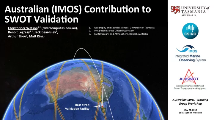
Australian Contribu>on to SWOT Cal/Val
The problem pre SWOT…
3
…accurately and independently validate al0meter SSH (SSHAlt) Various approaches to observe :
Ø Direct techniques at a offshore comparison point (CP) Ø Indirect techniques, derived at the coast, transformed to a CP Ø Rela4ve techniques (unable to resolve absolute datum) to assess temporal driN (e.g. Mitchum, 2000, Ablain et al., 2009, Watson et al., 2015)
𝑻𝑻𝑰↓𝑱 𝑻𝑻𝑰↓𝑱𝒐 𝑻𝒋𝒖𝒗 𝑻𝒋𝒖𝒗
Conceptually simple, but prac0cally, far more complex:
Ø Dynamic environment Ø Stringent accuracy requirements Ø Sustain observa4ons required Ø Many dependent variables Ø Ø
spa4al integra4on within footprint, observed instantaneously
𝑻𝑻𝑰↓𝑩 𝑻𝑻𝑰↓𝑩𝒎𝒖 𝒎𝒖 =
point measurement, o[en averaged in 4me
𝑻𝑻𝑰↓𝑱 𝑻𝑻𝑰↓𝑱𝒐 𝑻𝒋𝒖𝒗 𝑻𝒋𝒖𝒗 =
Frame… Ionosphere… Troposphere… Sea State… Mul4ple missions…