
SLIDE 1
ATKINS
Member of the SNC-Lavalin Group
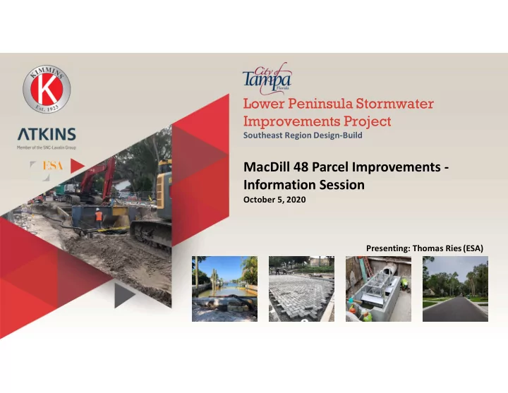
Lower Peninsula Stormwater Improvements Project
Southeast Region Design-Build
MacDill 48 Parcel Improvements - Information Session
October 5, 2020 Presenting: Thomas Ries (ESA)
ATKINS Southeast Region Design-Build Member of the SNC-Lavalin Group - - PowerPoint PPT Presentation
Lower Peninsula Stormwater Improvements Project ATKINS Southeast Region Design-Build Member of the SNC-Lavalin Group MacDill 48 Parcel Improvements - Information Session October 5, 2020 Presenting: Thomas Ries (ESA) Lower Peninsula Watershed
Member of the SNC-Lavalin Group
Southeast Region Design-Build
October 5, 2020 Presenting: Thomas Ries (ESA)
I-Iii~
Courcy.Florida.
0Mlra'!-~-!II
.,., --.o,u.1,c.:11
3 ••P..,.Wt•
.Ash £natneennl, Inc. 11 f11 East Jadoon Street, Suite 200
T a m p a , FlOrlda 33602 J u l y 2
Lower Peninsula Stormwater Improvements Project
Southeast Region Design-Build
RFQ: 19-C-00059 Lower Peninsula Stormwater Improvements - Southeast Regi.oual Desiga Build Design Criteria Package
DESIGN CRITERIA PACKAGE
For Contract 19-C-00059; Lower Peninsula Stormwater Imprnvements Southeast Regional System Design-Build
PREPARED BY: Richard Alfred Hoel, P.E. 41026 DESIGN CRITERIA PROFESSIONAL CITY OF TAMP A September 20 19
Gopher Tortoise Burrow Saw Palmetto Prairie Large Oaks
Field Data Collection
Trash Dumped Onsite Discarded Tires
Isolated Wetland Invasive Non-Native Fern
Major Drainage Ditch Secondary Drainage
Scattered Debris Air Potato Covering Debris
Brazilian Pepper Along Fence Brazilian Pepper Mono-Culture
Pine Covered w/Vines Palmetto Covered Brazilian Pepper w/Vines
Desktop Analysis
Field Assessments
N
Legend O
F'l'o,et1UIYO\sExiltingfeeture1
N
A
T
D Projectlimits Existing Features
Large Tree Drip Lines Saw Palmetto Prairie Oak Area
Potential Features • Alt 1
Figure - MacOill 48
L.owe Peninuja /lbcDill U Hhbor<>U9>Cou,.y,FJ,..ida.:··
N
A
Projedlimits
Existing Features
Large Tree Drip Lines Saw Palmetto Prairie Oak Area
Potential Features -Alt 1 N
A
D Projectlimits Existing Features
Large Tree Drip Lines
Saw Palmetto Prairie Oak Area Feature
N
A
Projectlimits Existing Features
large Tree Drip Lines Saw Palmetto Prairie Oak Area
Feature
E2.2] Littoral-Existing Welland
□
Litoral-PondD lsolatedWetland Figure - MacDill 48
l..DwePfl!1ra~•/lbcDill'8 HihbolOIJ9'Cou,.y,Flo,m.N
A
D ProJea Limits
Feature
l2ZI littoral • Exisbng Wetland
D Isolated Wedand
Figure - Draft Conceptual Design
LowePeninnlb / 11.,;Dil#Hil~Court:y,florid.i
:+:101!
~&JSol101!
~-s,
.....
""iOttG,Hill
..
,
..... ..._. ..
N
Lost River Preserve