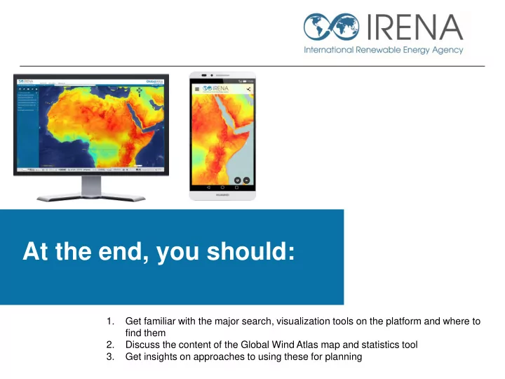

At the end, you should: 1. Get familiar with the major search, visualization tools on the platform and where to find them 2. Discuss the content of the Global Wind Atlas map and statistics tool 3. Get insights on approaches to using these for planning
Free and easy-to-use search & visualization capabilities 2
Content of the Global Wind Atlas Onshore and 30km offshore Wind maps at 1km spatial resolution • Average wind speed at 50, 100, 200m heights (Onshore and 30 Km Offshore) • Wind power density at 50, 100, 200m heights • Local wind speed & power density range (within pixel) at 50, 100 and 200m heights Other context relevant datasets • Global and regional transmission infrastructure (OpenStreetmap) • Global roads (Netherlands Environmental Agency – PBL) • World Database of Protected Areas • Landscan Global Population density (1km resolution) • Elevation • Land-use/Land cover Statistics • Wind rose • Histograms • Time series 3
Short demo – Analysis: Where are the best spots in a country? 4
Additional slides 5
Approach to Renewable energy resource assessment and planning. • The process of Geospatial analysis for renewable energy and integrated resource and infrastructure planning is not new : http://globalatlas .irena.org/ CaseStudies .aspx • Generally the process is approached either based on Exclusion or using the more recently trending Opportunity based approach • In the Exclusion based approach the availability of land is restricted to a number of technical 1 and development 2 type constraints such as: distance to a transmission system (lines and substations) 1, distance to roads and load centers 1 , elevation and slopes 1 , protected areas 2 , urban areas 2 , traditional sites 2 , military bases 2 other land-use constraints - Then RESOURCE • The opportunity based approach reverses the process – high resource areas are marked out as areas of opportunity. These opportunity areas are then ranked according to their suitability levels considering the same criteria listed above. 6
Some IRENA reference materials for resource assessment and zoning Unleashing West Africa’s renewable energy potential - http://www.irena.org/menu/index.aspx?mnu=Subcat&PriMenuID=36&CatID=141&SubcatID=367 7
Access the Global Wind Atlas: http://irena.masdar.ac.ae/?map=103 Email us Potentials@irena.org 8
Recommend
More recommend