
SLIDE 1
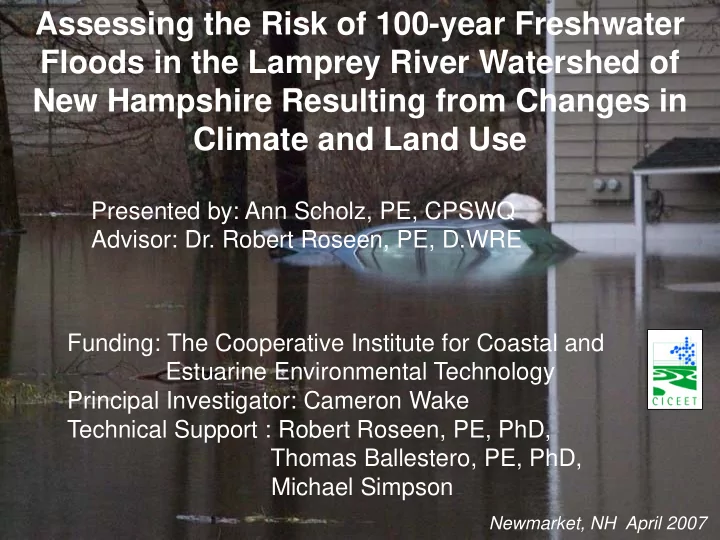
Assessing the Risk of 100-year Freshwater Floods in the Lamprey River Watershed of New Hampshire Resulting from Changes in Climate and Land Use
Newmarket, NH April 2007
Assessing the Risk of 100-year Freshwater Floods in the Lamprey - - PowerPoint PPT Presentation
Assessing the Risk of 100-year Freshwater Floods in the Lamprey River Watershed of New Hampshire Resulting from Changes in Climate and Land Use Presented by: Ann Scholz, PE, CPSWQ Advisor: Dr. Robert Roseen, PE, D.WRE Funding: The Cooperative
Newmarket, NH April 2007
2
3
4
Of 15 largest events since 1934: 11 have occurred in last 25 years 10 have occurred in last 15 years 7 have occurred in last 5 years
Rank Date Discharge (cfs) 1 16‐May‐06 8400 15‐May‐06 7600 2 18‐Apr‐07 7590 17‐Apr‐07 7410 3 7‐Apr‐87 7360 8‐Apr‐87 5920 6‐Apr‐87 5460 4 16‐Mar‐10 6550 17‐Mar‐10 5610 15‐Mar‐10 4810 5 22‐Oct‐96 6310 23‐Oct‐96 6150 6 17‐May‐06 6240 7 20‐Mar‐36 5270 21‐Mar‐36 4690 8 1‐Apr‐10 5240 31‐Mar‐10 4600 9 19‐Apr‐07 4830 10 27‐Feb‐10 4640 11 15‐Mar‐77 4620 12 3‐Apr‐04 4550 13 16‐Jun‐98 4500 15‐Jun‐98 4400 14 21‐Mar‐83 4310 15 6‐Apr‐60 4270
5
6
7
Summary of Town Studies
Community Town FIS Date Study performed by Completed Raymond
October 15, 1981 SCS September 1979 April 15, 1992 Rivers Engineering Corp. October 1989 May 2, 1995 Roald Haestad, Inc. March 1993
Epping
October 15, 1981 SCS September 1979
Lee
No published study available
Durham
May 3, 1990 SCS September 1987 August 23, 2001 USGS April 1998
Newmarket
May 2, 1991 USGS August 1989
8
Terrain Digital Elevation Model (DEM) Watershed(s) Hydrologic Unit Code (HUC) Transportation data and water features Digital Line Graph (DLG) Stream Networks River Reach Files (RF)/National Hydrography Dataset (NHD) Streamflow Gage Data Locations Latitude/Longitude Aerial Background Digital Orthophoto Quarter Quads (DOQQ) Soil type data Soil Surveys Geographic Data Base (SSURGO) State Soil Geographic Data Base (STATSGO) Land Use Cover USGS Land Use Land Cover (LULC) State/Municipal GIS 9
HEC‐GeoHMS (ArcHydro Tools) to process DEM Standard Hydrologic Grid Hydrologic Rainfall Analysis Project Delineate Watershed and Sub‐watershed DEM Reconditioning Stream Network HEC‐HMS Input File Runoff Parameters 10
Subbasin Area (mi2) W6510 32.2 W8600 19.0 W11900 16.0 W10910 6.5 W8380 12.3 W11020 6.1 W1380 58.3 W7060 33.9 W7920 4.5 W10250 21.7 W8590 0.9 Total 211.7
W7060 W1380 W8590 W10910 W8380 W11900 W6510 W7920 W10250
11
W8600 W11020
Subbasin CN W6510 62.5 W8600 63.0 W11900 64.2 W10910 61.2 W8380 63.5 W11020 62.5 W1380 65.4 W7060 63.9 W7920 67.7 W10250 66.0 W8590 71.0
12
W7060 W1380 W8590 W10910 W8380 W11900 W6510 W7920 W10250 W8600 W11020
13
14
15
1 6
17
18
Project Models
Land Use Conditions Rainfall Rates and Global Change Model Scenario Effective Updated Climate Period 2006-2030 Climate Period 2031-2085 TP-40 NRCC NRCC A1F1 (HI) B1 (LO) Current (2005) X X Build-out X X X LID/Build-out X X X NRCC – Northeast Regional Climate Center A1F1 (HI) - Continuation of growth TP-40 – Technical Paper 40 B1 - Stabilizing CO2 concentrations
19
HEC‐ GeoRAS (ArcView ) Create Stream Stationing and Reaches Create Stream Cross Sections Extract Elevation Data HEC‐RAS Input File RAS Mapping 20
2
22
23
24
Summary of Bridge Structure Source for the Lamprey River Community Station Road Name Data Source Raymond 181300 Dudley Road Electronic WSP2 files from Roald Haestad, Inc. March 1993 180964 Raymond Road (RT 27) 167900 Langford Road 160746 Main Street 155060 Epping Street 154106 B&M Railroad 147643 Freetown Road (RT 107) 141372 Prescott Road Epping 136759 State Route 101 127937 Epping Road (RT 27) Electronic HEC‐RAS files from NHDOT, 2010 123964 Blake Road As‐built drawings from NHDOT, dates vary 107459 Main Street (Plummer) 106269 Mill Street Electronic HEC‐RAS files from NHDOT, 2000 105560 Calef Hwy (RT 125) 88171 Hedding Road (RT 87) WSPRO print out and As‐built from NHDOT, 2000 Lee 61457 Wadleigh Falls Road As‐built drawings from NHDOT, dates vary 35683 Lee Hook Road Durham 20082 Wiswall Road Electronic HEC‐RAS files from CLD Consulting, 2009 16028 Packer's Falls Road FEMA FIS Backup Data Newmarket 1602 RT 108 Summary of Bridge Structure Source for the RT108 Corridor Watercourse Station Road Name Data Source Floodplain 71 Newmarket Road (RT 108) Survey drawings from NHDOT, 2010 Hamil Brook 1040 Newmarket Road (RT 108) FEMA FIS Backup Data Longmarsh Brook 4182 Bedard Road Longmarsh Brook 1703 Longmarsh Road Longmarsh Brook 275 Tote Road
25 Summary of In‐line Structure Source for the Lamprey River Community Station Road Name Data Source Epping 127265 Bunker Pond Dam Electronic HEC‐RAS files from NHDOT Lee 61266 Wadleigh Falls Dam Land Records Durham 19859 Wiswall Dam Electronic HEC‐RAS files from CLD Consulting Engineers Newmarket 1286 Coffee Sluice Electronic HEC‐RAS files from Wright‐Pierce Newmarket 1164 Macallen Dam
26
27
28
Reach River Sta Profile W.S. Elev E.G. Elev Q Total Downstream (ft) (ft) (cfs) EGL Diff. USaltRT101 8998 SCS 100‐YR 36.72 36.89 10,649 0.01 USaltRT101 8998 7‐Apr 35.2 35.33 8,332 ‐0.01 USaltRT101 8998 10‐Mar 34.36 34.48 7,481 0.02 Junction: RT108 FP Optim. % Bypass DS RT108 FP 8890 SCS 100‐YR 36.58 36.84 9,158 86.0% DS RT108 FP 8890 7‐Apr 35.06 35.28 7,440 89.3% DS RT108 FP 8890 10‐Mar 34.27 34.46 6,361 85.0% OR_Bypass 6377 SCS 100‐YR 36.82 36.83 1,491 14.0% OR_Bypass 6377 7‐Apr 35.28 35.29 956 11.5% OR_Bypass 6377 10‐Mar 34.43 34.44 1,125 15.0%
April 2007 WSE = 34.41 March 2010 WSE =33.58
30
NRCC 100-YR WSE = 35.83 FIS WSE = 33.0 Observed WSE: April 2007 – 34.1 March 2010 – 33.3
April 2007 WSE = 112.01 SCS 100-YR WSE = 114.12 FIS WSE = 110.6 Observed WSE: April 2007 – 113.0
31
32
20 40 60 80 100 120 140 160 180 200 220 20000 40000 60000 80000 100000 120000 140000 160000 180000 Elevation (ft) Reach Length (ft)
Lamprey River EGL Profile Plot
HEC-RAS FIS
33
25 27 29 31 33 35 5000 6000 7000 8000 9000 10000 Elevation (ft) Reach Length (ft)
Longmarsh Brook to Hamil Brook Profile Plot
HEC-RAS FIS
34
35
38
39