
SLIDE 1
National Aeronautics and Space Administration Jet Propulsion Laboratory California Institute of Technology
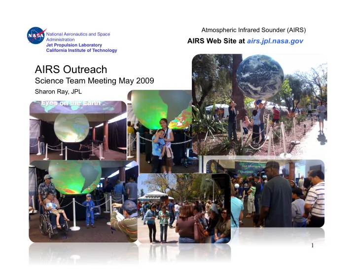
AIRS Outreach Science Team Meeting May 2009 Sharon Ray, JPL 1 - - PowerPoint PPT Presentation
Atmospheric Infrared Sounder (AIRS) National Aeronautics and Space AIRS Web Site at airs.jpl.nasa.gov Administration Jet Propulsion Laboratory California Institute of Technology AIRS Outreach Science Team Meeting May 2009 Sharon Ray, JPL 1
National Aeronautics and Space Administration Jet Propulsion Laboratory California Institute of Technology
National Aeronautics and Space Administration Jet Propulsion Laboratory California Institute of Technology
Research shows the cyclone's landfall position could have been much better predicted -- with an uncertainty six times smaller -- had more sophisticated atmospheric temperature data been included.
Cyclones”
News release carried on NASA, JPL, Earth Observatory, in addition carried by UPI, EurekAlert (Wash R&D Daily, Digg.com, SpaceRef, SpaceDaily, ScienceDaily, China Meteorological Assn.
Movie created by Ed Olsen highlights global CO transport from the Australian Fires covers the entire event (February 1 through February 17.) Movie was a JPL Home Page headline and was placed on the JPL Photojournal.
National Aeronautics and Space Administration Jet Propulsion Laboratory California Institute of Technology
Music video called “Take AIM at Climate Change” produced by NASA, NSF, and Passport 2 Knowledge uses a rap artist and other singers to convey climate change facts. AIRS global CO2 visualization is featured.
AIRS CO2 increase with Mauna Loa data overlay featured in this information video that features scientist interviews and imagery
Imagery provided by Vince Realmuto
AIRS continues to be a major supplier of imagery. As of today, the 2009 archive contains 24 images, and 20 of them are from AIRS
www.water.ca.gov/climatechange/ passporttoknowledge.com/ polar-palooza/whatyoucando/taacc/
National Aeronautics and Space Administration Jet Propulsion Laboratory California Institute of Technology
Outreach Coordinator Sharon Ray and Operations Engineer Tom Nolan partnered in giving presentations to two 4th grade after-school classrooms at Broadous Elementary in Pacoima as part of LA’s Best, an afterschool program that serves underrepresented children in Los Angeles county.
AIRS scientist Eric Fetzer gave a presentation to members of the NASA Museum Alliance titled “How Human Activities Affect Climate”. Museum Alliance members dial-in from around the country to listen to the presentation, and they download presentation slides from the Museum Alliance web site.
Sharon Ray worked in the NASA Booth on behalf of AIRS during the AMS spring meeting
Materials provided to first-grade Earth science students at White Oak Elementary in Westlake Village.
National Aeronautics and Space Administration Jet Propulsion Laboratory California Institute of Technology
Revised to be geared toward students. More information. Home page will be revised to make this more prominent.
National Aeronautics and Space Administration Jet Propulsion Laboratory California Institute of Technology
Made” and “Chart of Earth’s Atmospheric Layers”
National Aeronautics and Space Administration Jet Propulsion Laboratory California Institute of Technology
National Aeronautics and Space Administration Jet Propulsion Laboratory California Institute of Technology
National Aeronautics and Space Administration Jet Propulsion Laboratory California Institute of Technology
Good morning Mr. Buis, We are a Brazilian teen team that will represent Brazil in a robotic championship in Copenhagen, Denmark known as FIRST LEGO League next May 1, 2009. The subject of this championship is climate connections- global warming. As part of the championship rules, besides robot's construction and conclude specific tasks, the teams have to presentate an inovative solution to the climate problem. In our research we mentioned the studies published by the JPL Senior Reseach Scientist Hartmut Almann, about the correlation between the frequency of the extremely high clouds in the Earth'tropics and seasonal variations in the average sea surface temperature of the tropical oceans. We would like to congratulate your team for good job and thank you for publishing this study, that helped us so much in our research and we are wishing our research gives us a good result in the championship. Best regards, Terradroide Team São Paulo, Brazil
National Aeronautics and Space Administration Jet Propulsion Laboratory California Institute of Technology
This new interactive featured on NASA's Global Climate Change Web site gives the public the opportunity to "fly along" with NASA's fleet of Earth science missions and observe Earth from a global perspective in an immersive, 3-D environment.
climate.jpl.nasa.gov
National Aeronautics and Space Administration Jet Propulsion Laboratory California Institute of Technology
Music video called “Take AIM at Climate Change” produced by NASA, NSF, and Passport 2 Knowledge uses a rap artist and other singers to convey climate change facts. AIRS global CO2 visualization is featured.
AIRS CO2 increase with Mauna Loa data overlay featured in this information video that features scientist interviews and imagery
Imagery provided by Vince Realmuto
AIRS continues to be a major supplier of imagery. As of today, the 2009 archive contains 24 images, and 20 of them are from AIRS
www.water.ca.gov/climatechange/ passporttoknowledge.com/ polar-palooza/whatyoucando/taacc/