
SLIDE 1
1 1
TRANSDEC: Transportation Decision Making
Fall’09-CS599 Raghu Nallamothu Vikas Meka Afsin Akdogan Nima Najafian
2 2
Agenda
Project Overview Tasks Technologies Used Milestones & Deliverables
3 3
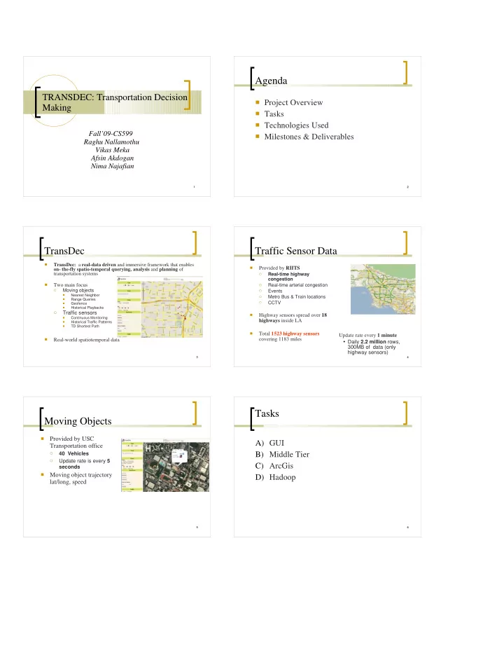
TransDec
- TransDec: a real-data driven and immersive framework that enables
- n- the-fly spatio-temporal querying, analysis and planning of
transportation systems
- Two main focus
- Moving objects
- Nearest Neighbor
- Range Queries
- Geofence
- Historical Playbacks
- Traffic sensors
- Continuous Monitoring
- Historical Traffic Patterns
- TD Shortest Path
- Real-world spatiotemporal data
4 4
Traffic Sensor Data
- Provided by RIITS
- Real-time highway
congestion
- Real-time arterial congestion
- Events
- Metro Bus & Train locations
- CCTV
- Highway sensors spread over 18
highways inside LA
- Total 1523 highway sensors
covering 1183 miles Update rate every 1 minute
Daily 2.2 million rows,
300MB of data (only highway sensors)
5 5
Moving Objects
- Provided by USC
Transportation office
- 40 Vehicles
- Update rate is every 5
seconds
- Moving object trajectory
lat/long, speed
6 6