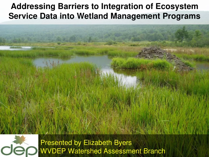

Addressing Barriers to Integration of Ecosystem Service Data into Wetland Management Programs Presented by Elizabeth Byers WVDEP Watershed Assessment Branch
A century ago, it was all about waterfowl… 2 Matt Goff www.sitkanature.org
Now…fish & wildlife, rich biodiversity, productivity,
kidneys of the landscape,
stabilize water supplies, Pinus rigida - Picea rubens / Viburnum nudum var. cassinoides / Sphagnum spp. Woodland (G1G2)
protect shorelines from erosion, USFWS
carbon sinks and climate stabilizers
Ecosystem Services Quantified
Obstacles? What obstacles? 10 Laughspark.com
9 key lessons learned as West Virginia moves to Functional Assessment for C lean Water Act and Food Security Act activities 11
Should we start up this trail at all? (Lessons #1-#4) 12
Lesson #1: We needed a catalyst to get us started 2008 Mitigation rule for aquatic resources 13
Lesson #2: We needed leadership champions to get us started 14 Isizmile
Obstacle! Both champions retired. ...it was okay, we had gotten started and had built some support 15 Isizmile
Lesson #3 : We needed financial support 16
Lesson #4: We needed a determined project leader 17 Isizmile
Obstacle! No one available on staff. ...it was okay, we recruited from another division Obstacle! Staff turnover. …that was tough, we had to delay outputs 18 Isizmile
Walking the trail (Lessons #5-#8) 19 Isizmile
Lesson #5: Bring stakeholders into the process early & often Obstacle! They’re speaking …we opened our ears different languages. 20 Isizmile
2017-18 Field-testing: 69 stakeholders from 22 organizations 21
Lesson #6: Build on best available science Obstacle! How do we sort through so much information? …we looked only at tested, validated methods & metrics
Lesson #6: Build on best available existing science
Lesson #6: Build on best available existing science
Ecological integrity & wildlife habitat Flood Water quality: attenuation sediment, nutrients, pollutants 3 composite functions 25
Wetland has intrinsic potential to provide function Landscape provides Society has placed opportunity to perform function value on function 3 lenses
62 statewide GIS datasets • • Biodiversity Infrastructure • • Ecosystems Jurisdiction • • Elevation Landcover • • Geology Landform • • Hydrology Soils • • Imagery Stressors 27
75 metrics in 9 categories Intrinsic Landscape Value to Potential Opportunity Society vegetation, 50 m buffer, public use, Water Quality soil, contributing planning hydrology watershed Flood Attenuation vegetation, 50 m buffer, economic risk soil, contributing hydrology watershed Habitat/ vegetation, perimeter, investment, soil, 300 m / 1 km buffer, public use, Ecological Integrity hydrology contrib. watershed access 28
Link natural heritage Wetlands of data to GIS tool Special Conservation Concern Documented by WVDNR based on Site Biodiversity Rank Natural Heritage Data
Let’s deter impacts to high -functioning wetlands! Regulatory Credit Scores (GIS only) for 10,416 vegetated wetlands 600 500 Median score = 0.56 400 Frequency 300 200 2% of wetlands are of special conservation concern and score above 1.0 100 0 0.00 0.50 1.00 1.50 2.00 2.50 Regulatory Wetland Function Credits
Lesson #7: Laser focus Obstacle! Other important work doesn’t get done …we’ve gotten pretty good at saying “no” 31 Isizmile
32 Lesson #8 : Recruit partners to fill skill gaps
Python-based automation
NRCS Experts
Reaching our destination – the last mile (Lesson #9 and a return to #5) 35
Lesson #9: Make it easy to use GIS Desktop Scenario Planning 36
Lesson #9: Make it easy to use 37
Preliminary GIS Score for every mapped wetland in WV 38
Rapid Field Assessment Level of effort: 2 technicians x half-day Skill level: wetland delineation plus 2-day training • Vegetation, Soils, Hydrology, Buffer, Stressors • GIS metrics improved 39
Floristic Quality Assessment Mean abundance-weighted CoC using 50/20 Rule vs. Full Floristics 40
Soil metrics distilled to clay texture, 41 organic material, pH, and stressors
2019 Field Season: Training June 2020 Regulatory Rollout 42
Lesson #5 (again): We Stakeholders 43
Stakeholders are key to successful public notice and regulatory rule change
Recap: 9 Key Lessons Learned A. Should we head up this trail at all? 1. Catalyst is already in place: 2008 Mitigation Rule 2. Leadership champions necessary for start-up 3. Secure financial support 4. Recruit determined project leader B. Walking the trail 5. Bring stakeholders into the process early & often 6. Build on best available existing science 7. Laser focus 8. Recruit partners to fill skill gaps C. Reaching our destination 9. Make it easy to use …and stakeholders take us the final mile
Questions? Elizabeth.A.Byers@wv.gov
Recommend
More recommend