
SLIDE 1
6-DoF Pose Localization in 3D Point-Cloud Dense Maps Using a - - PowerPoint PPT Presentation
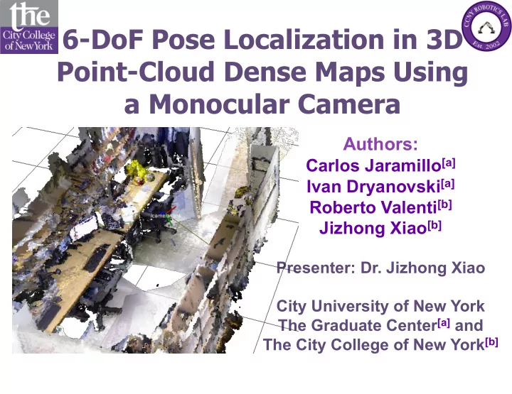
6-DoF Pose Localization in 3D Point-Cloud Dense Maps Using a Monocular Camera Authors: Carlos Jaramillo [a] Ivan Dryanovski [a] Roberto Valenti [b] Jizhong Xiao [b] Presenter: Dr. Jizhong Xiao City University of New York The Graduate Center [a]
ROBIO 2013
6-DoF Pose Localization in 3D Point-Cloud Dense Maps Using a Monocular Camera
2
ROBIO 2013
6-DoF Pose Localization in 3D Point-Cloud Dense Maps Using a Monocular Camera
3
ROBIO 2013
6-DoF Pose Localization in 3D Point-Cloud Dense Maps Using a Monocular Camera
4
http://augmentedpixels.com Jaramillo’s DREU 2009
ROBIO 2013
6-DoF Pose Localization in 3D Point-Cloud Dense Maps Using a Monocular Camera
5
ROBIO 2013
6-DoF Pose Localization in 3D Point-Cloud Dense Maps Using a Monocular Camera
6
ROBIO 2013
6-DoF Pose Localization in 3D Point-Cloud Dense Maps Using a Monocular Camera
7
Initial pose estimation (first time only!):
and their corresponding 3D points in the map obtained from the top n matches.
ROBIO 2013
6-DoF Pose Localization in 3D Point-Cloud Dense Maps Using a Monocular Camera
8
1) The virtual view is constructed by projecting the map’s 3D points to a plane using the t-1 pose.
ROBIO 2013
6-DoF Pose Localization in 3D Point-Cloud Dense Maps Using a Monocular Camera
9
1) The virtual view is constructed by projecting the map’s 3D points to a plane using the t-1 pose. 2) 2D features are matched between the real and virtual images.
ROBIO 2013
6-DoF Pose Localization in 3D Point-Cloud Dense Maps Using a Monocular Camera
10
1) The virtual view is constructed by projecting the map’s 3D points to a plane using the t-1 pose. 2) 2D features are matched between the real and virtual images. 3) 2D-to-3D point correspondences are obtained between the real camera’s 2D features and associated 3D points in the map.
ROBIO 2013
6-DoF Pose Localization in 3D Point-Cloud Dense Maps Using a Monocular Camera
11
1) The virtual view is constructed by projecting the map’s 3D points to a plane using the t-1 pose. 2) 2D features are matched between the real and virtual images. 3) 2D-to-3D point correspondences are obtained between the real camera’s 2D features and associated 3D points in the map. 4) After Perspective-n-Point (PnP) + RANSAC, the relative 6-DoF transformation between the real and virtual cameras is found.
ROBIO 2013
6-DoF Pose Localization in 3D Point-Cloud Dense Maps Using a Monocular Camera
12
1) The virtual view is constructed by projecting the map’s 3D points to a plane using the t-1 pose. 2) 2D features are matched between the real and virtual images. 3) 2D-to-3D point correspondences are obtained between the real camera’s 2D features and associated 3D points in the map. 4) After Perspective-n-Point (PnP) + RANSAC, the relative 6-DoF transformation between the real and virtual cameras is found. 5) A final frame transformation localizes the 6-DoF pose of the camera with respect to the map.
ROBIO 2013
6-DoF Pose Localization in 3D Point-Cloud Dense Maps Using a Monocular Camera
13 [World] Cam axis C
ROBIO 2013
6-DoF Pose Localization in 3D Point-Cloud Dense Maps Using a Monocular Camera
14
ROBIO 2013
6-DoF Pose Localization in 3D Point-Cloud Dense Maps Using a Monocular Camera
15
ROBIO 2013
6-DoF Pose Localization in 3D Point-Cloud Dense Maps Using a Monocular Camera
16
ROBIO 2013
6-DoF Pose Localization in 3D Point-Cloud Dense Maps Using a Monocular Camera
17
ROBIO 2013
6-DoF Pose Localization in 3D Point-Cloud Dense Maps Using a Monocular Camera
18
ROBIO 2013
6-DoF Pose Localization in 3D Point-Cloud Dense Maps Using a Monocular Camera
19
ROBIO 2013
6-DoF Pose Localization in 3D Point-Cloud Dense Maps Using a Monocular Camera
20
Process (Per image frame) Worst-case time (ms) Virtual Image Generation 70 SURF feature detection and description 100 SURF Feature matching with FLANN 8 PnP with RANSAC (1000 iters, 50 inliers, 10 px reprj. error) 200 Total 378
ROBIO 2013 22
6-DoF Pose Localization in 3D Point-Cloud Dense Maps Using a Monocular Camera
6-DoF Pose Localization in 3D Point-Cloud Dense Maps Using a Monocular Camera
ROBIO 2013 23