
SLIDE 1
1
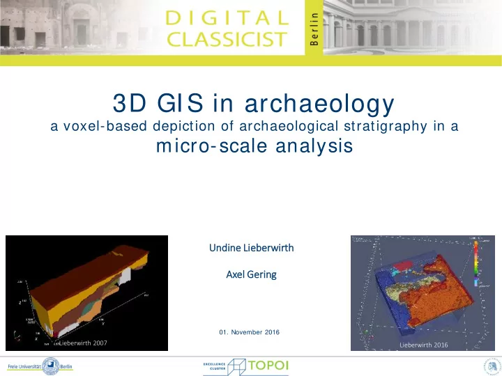
3D GIS in archaeology
a voxel-based depiction of archaeological stratigraphy in a
micro-scale analysis
Undine L e Lieberwirth th Axel Ge l Gerin ing
Lieberwirth 2007 Lieberwirth 2016
- 01. November 2016
3D GIS in archaeology a voxel-based depiction of archaeological - - PowerPoint PPT Presentation
3D GIS in archaeology a voxel-based depiction of archaeological stratigraphy in a micro-scale analysis Undine L e Lieberwirth th Axel Ge l Gerin ing 01. November 2016 Lieberwirth 2007 Lieberwirth 2016 1 ParaView Kythera,
1
Undine L e Lieberwirth th Axel Ge l Gerin ing
Lieberwirth 2007 Lieberwirth 2016
2
Kythera, Acroterion,Trench IX created by GRASS GIS r.vol.dem, visualised by ParaView - 2007
3
Kythera, Acroterion,Trench IX created by GRASS GIS r.vol.dem, visualised by ParaView - 2007
4
Kythera, Acroterion,Trench IX created by GRASS GIS r.vol.dem, visualised by ParaView - 2007
5
Kythera, Acroterion,Trench IX created by GRASS GIS r.vol.dem, visualised by ParaView - 2007
6
Kythera, Acroterion,Trench IX created by GRASS GIS r.vol.dem, visualised by ParaView - 2007
7
Kythera, Acroterion,Trench IX created by GRASS GIS r.vol.dem, visualised by ParaView - 2007
8
9
Kythera, Acroterion,Trench IX created by GRASS GIS r.vol.dem, visualised by ParaView - 2007
10
Kythera, Acroterion,Trench IX created by GRASS GIS r.vol.dem, visualised by ParaView - 2007
11
Lieberwirth 2007 Lieberwirth 2016
2007 2016
CAD, SfM, Scan hand drawings
12
13
1re reseach questi tion 2dat ata & & method
3results ts 4 4outlook
14
15
16
1re reseach questi tion 2dat ata & & method
3results ts 4 4outlook
17
1re reseach questi tion 2dat ata & & method
3results ts 4 4outlook
geophysical prospection Eastern Atlas GmbH Berlin
18
1re reseach questi tion 2dat ata & & method
3results ts 4 4outlook
3d laser scanner, totalstation, digital camera Cyclone 9 AutoCAD, TachyCAD, MonuMap
19
1re reseach questi tion 2dat ata & & method
3results ts 4 4outlook
Leica ScanStation 2 Cyclone 9 AutoCAD, TachyCAD, MonuMap
20
1re reseach questi tion 2dat ata & & method
3results ts 4 4outlook
WGS 1984 WGS 1984
Leica ScanStation 2 Canon EOS 300D Cyclone 9 AutoCAD, TachyCAD, MonuMap
21
1re reseach questi tion 2dat ata & & method
3results ts 4 4outlook
ParaView 5.0.0
22
1re reseach questi tion 2dat ata & & method
3results ts 4 4outlook
ParaView 5.0.0
23
1re reseach questi tion 2dat ata & & method
3results ts 4 4outlook
registered & geo-referenced point cloud from laser scan Leica ScanStation 2 & Cyclone 9 geo-referenced point cloud from structure-from-motion Canon EOS 300D & PhotoScan Pro 1.2.3
24
1re reseach questi tion 2dat ata & & method
3results ts 4 4outlook
GRASS GIS 7.0.1
25
1re reseach questi tion 2dat ata & & method
3results ts 4 4outlook
GRASS GIS 7.0.1
26
1re reseach questi tion 2dat ata & & method
3results ts 4 4outlook
ParaView 5.0.0 Laboratory for Physical Geography Institute for Geographical Sciences Free University Berlin
27
ParaView 5.0.0
1re reseach questi tion 2dat ata & & method
3results ts 4 4outlook
28
1re reseach questi tion 2dat ata & & method
3results ts 4 4outlook
ParaView 5.0.0 Eastern Atlas GmbH Berlin
29
1re reseach questi tion 2dat ata & & method
3results ts 4 4outlook
ParaView 5.0.0 Eastern Atlas GmbH Berlin
30
GRASS GIS 7.0.1 ParaView 5.0.0
1re reseach questi tion 2dat ata & & method
3results ts 4 4outlook
31
32
33
brain MRT voxel model of & by Undine Lieberwirth, images taken by Charité Berlin
34
1re reseach questi tion 2dat ata & & method
3results ts 4outlook
ParaView 5.0.0
35
1re reseach questi tion 2dat ata & & method
3results ts 4outlook
5856 points 59162 points 54709 points
Ø 7mm
Method 1 TLS Method 2 BT Method 3 SfM
Ø 2mm Ø 3mm
Source: Lieberwirth, U., Neteler, M., Fritsch, B., Metz, M., Kühnle, K. (2015)
36
1re reseach questi tion 2dat ata & & method
3results ts 4outlook
harris matrix of trench 1
processing HARRIS matrix composer 2.0b ParaView 5.0.0
37
1re reseach questi tion 2dat ata & & method
3results ts 4outlook
r.mapcalc difference=se114 - se113
GRASS GIS 7.0.1 harris matrix of trench 1
HARRIS matrix composer 2.0b
38
point cloud of 3D laser scan
1re reseach questi tion 2dat ata & & method
3results ts 4outlook
39
1re reseach questi tion 2dat ata & & method
3results ts 4outlook
40
1re reseach questi tion 2dat ata & & method
3results ts 4outlook
spatial density analysis – 2D08 spatial density analysis – 3D08
41
1re reseach questi tion 2dat ata & & method
3results ts 4outlook
3d model of layer 108, ParaView 5.0.0 64-bit photo documentation layer 108
false-col
S) 3d model of layer 108, PhotoScan Pro 1.2.3.2331 real al-color display ay (SfM fM)
42
1re reseach questi tion 2dat ata & & method
3results ts 4 4outlook
43
1re reseach questi tion 2dat ata & & method
3results ts 4 4outlook
44
1re reseach questi tion 2dat ata & & method
3results ts 4 4outlook
3d gis model 2007 acer TravelMate 1.5 GHz, 512 MB RAM, 60 GB HDD 3d gis model 2016, os x 3.4 gHz intel core i5, 32 GB, 1600 MUh DDR3, NVIDIA GeForce GTX 775M 20148 MB
45
Undine L e Lieberwirth th
Frei eie U e Univer ersität B Ber erlin
Axel Ge l Gerin ing
Humb mbold
ität z zu B Berlin lin