SLIDE 5 2/18/2013 5
Geological Map of Myanmar (1977) Geological Map Of Myanmar (2008),
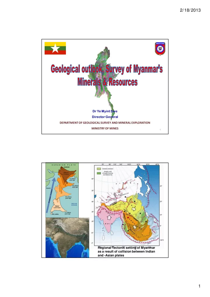
NINETY EAST RIDGE (projective) Yangon
T H R U S T
ADAMAN SEA SHAN PLATEAU
MT. VICTORIA DOME
NAGA HILLS Manipur
CHINA THAILAND INDIA
HIMALAYAN F R O N T A L T H R U S T INJU T H R U S T
Mt. Popa
LOHIT THRUST THRUST THRUS T DISANG NAGA SHILLONG MIKIR UPLIFT 200 km 92° 10° 12° 14° 16° 18° 20° 22° 24° 26° 28° 92° 94° 96° 98° 100° 102° 94° 96° 98° 100° 102°
N
10° 12° 14° 16° 18° 20° 22° 24° 26° 28°
MOGOK Mandalay Mawlamying Tin- Tungsten Belts Antimony Belts Lead – Zinc – Silver- Copper Belts Gold- Copper- Iron Belts Ni-Cr-Cu-Au-Pt Belts Iron – Manganese Belt The Precious Stone Belts Oil- Gas and Coal Belts
MINERAL PROVINCES OF MYANMAR
10
In Myanmar, Mineral occurrences include
Iron & metals for steel alloys- Fe, Mn, Cr, Ni, Mo Base & non-ferrous metals – Pb, Zn, Cu, Sn, W, Sb & Ti Precious & rare metals- PGM, Au, Ag, Nb, Ta
2.Industrial minerals & non-metallic raw minerals
Chemical & fertilizer minerals- Barite, fluorite, Gypsum, rock salt Ceramic & refractory minerals- clay, limestone, dolomite, feldspar, quartz, glass sand Construction & building materials- Decorative stones, road materials, limestone for cement
- 3. Preceous & semi-precious Gemstones
Ruby, Sapphire, Jade, Diamond, etc
(oil, natural gas, oil shale, coal,