SLIDE 2 Disclaimer
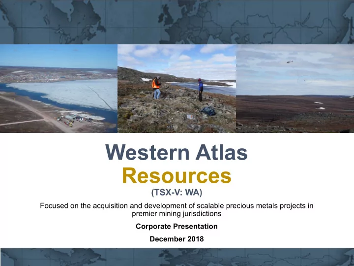
Western Atlas Resources
This presentation contains “forward-looking statements” and “forward looking information” (as defined under applicable securities laws), including but not limited to, statements with respect to the Company’s current and future projects, plans and operating performance, including in respect of the growth potential of the Western Atlas’ Projects, the success of exploration activities, future capital expenditures, future financing sources. Generally, these forward-looking statements can be identified by the use of forward-looking terminology such as “expects”, “expected”, “budgeted”, “forecasts” and “anticipates”. Forward-looking statements and information, while based on management’s best estimates and assumptions, are subject to risks and uncertainties that may cause actual results to be materially different from those expressed or implied by such forward-looking statements, including but not limited to: risks related to the completion of any acquisitions, risks related to the successful integration of any acquisitions; risks related to international operations; risks related to general economic conditions and credit availability, actual results of current exploration activities, unanticipated reclamation expenses; changes in project parameters as plans continue to be refined; fluctuations in prices of metals including gold; fluctuations in foreign currency exchange rates, increases in market prices of mining consumables, accidents and labour disputes, title disputes, claims and limitations
- n insurance coverage and other risks of the mining industry; changes in national and local government regulation of mining operations, tax rules and
regulations, and political and economic developments in countries in which Western Atlas Resources operates. Although Western Atlas Resources has attempted to identify important factors that could cause actual results to differ materially from those contained in forward-looking statements, there may be other factors that cause results not to be as anticipated, estimated or intended. There can be no assurance that such statements will prove to be accurate, as actual results and future events could differ materially from those anticipated in such statements. The forward-looking statements and forward-looking information are made as of the relevant date and Western Atlas Resources disclaims any obligation to update any such factors or to publicly announce the result of any revisions to any of the forward-looking statements or forward-looking information contained in this presentation to reflect future results. Accordingly, readers should not place undue reliance on forward-looking statements and information. Roscoe Postle Associates Inc. (RPA) was retained by Western Atlas Resources Inc. to prepare an independent Technical Report on the Meadowbank Area Project held by Western Atlas, located in Nunavut Territory, Canada. This Technical Report conforms to NI 43-101 Standards of Disclosure for Mineral Projects. RPA visited the property on July 25, 2017. This report, titled “Technical Report on the Meadowbank Area Project, Nunavut Territory, Canada”, and dated September 13, 2017 was prepared and signed by Paul Chamois M.Sc., P.Geo., Principal Geologist at RPA and a “qualified person” as defined in NI 43-101 independent of the Company. He has prepared or supervised the preparation of the technical information upon which portions of this presentation are based. Unless otherwise stated, scientific and technical information concerning the Western Atlas’ Projects, is summarized, derived, or extracted from the Technical Report, which is available for review on the Company's website at www.westernar.com. Roscoe Postle Associates Inc. (RPA) was retained by Western Atlas Resources Inc. to prepare an independent Technical Report on the Committee Bay Area Project held by Western Atlas, located in Nunavut Territory, Canada. This Technical Report conforms to NI 43-101 Standards of Disclosure for Mineral Projects. RPA visited the property on July 26, 2017. This report titled “Technical Report on the Committee Bay Area Project, Nunavut Territory, Canada”, and dated September 8, 2017 was prepared and signed by Paul Chamois M.Sc., P.Geo., Principal Geologist at RPA and a “qualified person” as defined in NI 43-101 independent of the Company. He has prepared or supervised the preparation of the technical information upon which portions of this presentation are based. Unless otherwise stated, scientific and technical information concerning the Western Atlas’ Projects, is summarized, derived, or extracted from the Technical Report, which is available for review on Company's website at www.westernar.com.
2
The image part with relationship ID rId4 was not found in the file.