
SLIDE 1
WEST SEVENTH COMMUNITY INFORMATION SESSION
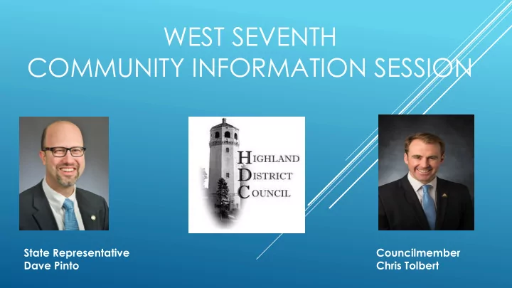
State Representative Dave Pinto Councilmember Chris Tolbert
WEST SEVENTH COMMUNITY INFORMATION SESSION State Representative - - PowerPoint PPT Presentation
WEST SEVENTH COMMUNITY INFORMATION SESSION State Representative Councilmember Dave Pinto Chris Tolbert RAMSEY COUNTY REGIONAL RAIL AUTHORITY RIVERVIEW CORRIDOR Presented by Michael Rogers Work In Progress; Subject To Change Without
State Representative Dave Pinto Councilmember Chris Tolbert
Presented by Michael Rogers
Work In Progress; Subject To Change Without Notice 3
Work In Progress; Subject To Change Without Notice
4
For
d Pkw kwy Hwy 5 5
Local Bus/No Build Arterial Bus Rapid Transit Modern Streetcar – W. 7th Modern Streetcar – W. 7th/CP Spur Modern Streetcar - Ford Modern Streetcar – Ford/CP Spur
Work In Progress; Subject To Change Without Notice
5
Work In Progress; Subject To Change Without Notice 6
SEP 14 PAC consider public comment
OCT 12 PAC approves Draft LPA for public comment
NOV Draft LPA public hearing DEC PAC approval of Riverview LPA Early 2018 Local resolutions of support for LPA 2018 Forward LPA to Met Council for adoption
Presented by Mark Nelson
Mark Nelson| North Area Manager Metro District
day
This is the average speed in both directions. There is a less than one mile per hour difference between Eastbound and Westbound for both morning and afternoon peaks.
10/26/2017 Optional Tagline Goes Here | mndot.gov/ 9
Recent Crash History (Kellogg to Shepard Road: 2013-2015)
per million vehicle miles traveled in a section)
10/26/2017 Optional Tagline Goes Here | mndot.gov/ 10
section
type, per million vehicle miles traveled in a section Mississippi River - St Paul Drive. CR=4.6 SR=5.5
CR=3.6 SR=4.4 35 E to Tuscarora CR=1.0 SR=1.0 Tuscarora to Hwy 61 (through downtown) CR=6.7 SR=8.4 Metro Average for Comparable Corridors CR=4.7 SR=6.7
10/26/2017 Optional Tagline Goes Here | mndot.gov/ 11
10/26/2017 Optional Tagline Goes Here | mndot.gov/ 12
Mark B. Nelson
Mark.b.nelson@state.mn.us 651.234.7718
10/26/2017 Optional Office/District name goes here | mndot.gov 13
Presented by Mark Finken
Study Purpose
Increasing mobility concerns and future development pressure have led to this study to
determine if potential changes to the Highway 5 and Shepard Road interchange will provide more balanced traffic volumes between West 7th Street and Shepard Road, while enhancing the community feel of the neighborhood. Study Goals
1. Create a more efficient balance of vehicular, transit, bicycle and pedestrian traffic
within the community
2. Improve vehicular, transit, bicycle and pedestrian mobility and safety within the
community
3.
Preserve neighborhood connectivity and minimize impacts to the community
4.
Foster community and business growth and development
Summary of Study Findings
The origin destination study found that the traffic using
Highway 5 / West 7th Street between Mississippi River Blvd and I- 35E is primarily local traffic.
Traffic using Shepard Road is destined for downtown. There is regional traffic coming and going along Highway 5
from I-35E but the volumes are not as high as expected.
Highway 5 / West 7th Street is the logical shortest distance to
and from I-35E and as long as traffic moves freely people will continue to use the shortest route.
Due to the high cost and little gain on the study goals the
no build option is the recommended outcome.
In conjunction with Riverview Corridor some of the
interchange concepts could be reconsidered.
For more information please contact
mark.finken@ci.stpaul.mn.us 651-266-6165
Presented by Scott Thompson
Service Development Department
according to ridership and operating conditions
maintains bus stop list
How does this work relate to your neighborhood?
facility improvements planned for implementation in June, 2018
20
Service Development Projects
Project Development Study Committees
21
Presented by John Kohler
John
John Kohler Mike Sturdivant Sibley Plaza Redevelopment
Findings
Presented by Mary deLattire
Presented by Josh Williams & Annalee Garletz
Annalee Garletz – Minnesota DNR Josh Williams – City of St. Paul
Land corridor along the Mississippi River in the 7-county metro area where there are special land use regulations that guide development activity. Established in the 1970s by Executive Order MRCCA shares same boundary as MNRRA, which became a unit of the National Park Service in 1988
adoption
josh.williams@ci.stpaul.mn.us 651-266-6659
Annalee.Garletz@state.mn.us 651-259-5541