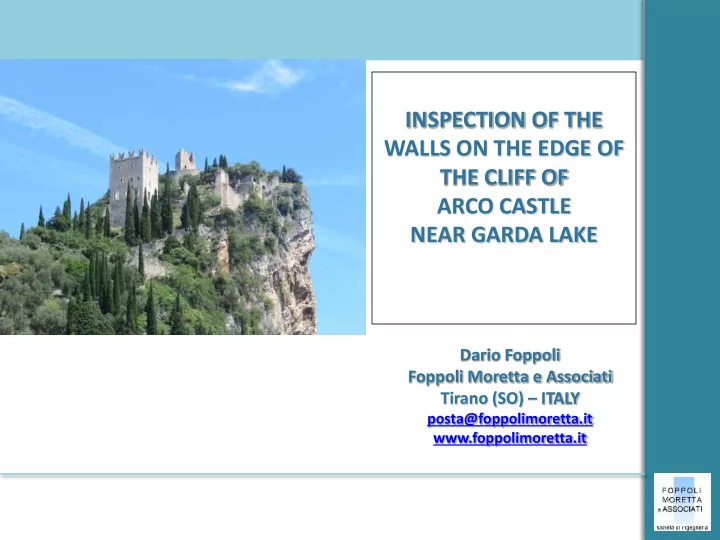
SLIDE 1 INSPECTION OF THE WALLS ON THE EDGE OF THE CLIFF OF ARCO CASTLE NEAR GARDA LAKE
Dario Foppoli Foppoli Moretta e Associati Tirano (SO) – ITALY
posta@foppolimoretta.it www.foppolimoretta.it
SLIDE 2 History
The feature of the castle as results from a watercolour painted in 1495 by Albrecht Durer - self-portrait of the artist in 1500 Introduction
remains states the presence on the cliff of settlements previous than medieval times;
- a castle built for defensive purposes
by Arco's noblemen already existed around the year 1000;
- from the 13th century the castle
became the property of the House of earl of Arco;
- in 1703, during the war of Spanish
succession, the castle was seriously damaged by the French bombings;
- it was later abandoned and went to
ruin;
- in 1982 it was purchased by the
municipality
SLIDE 3
The Castle of Arco
Front views of the cliff where the castle is settled Introduzione
SLIDE 4 The Castle of Arco
Planimetric view with the location of the inspected walls Introduction
TORRE DEL LAGHEL TORRE RENGHENA TORRE GRANDE
N
100 m
SLIDE 5 Objectives and Methodologies
Introduction
Provide a useful tool to understand and evaluate the conservation status of the castle in order to plan and manage conservation activities over time
The analysis of a large and inaccessible building requires innovative methodology that requested:
- surface evaluation by expert technicians;
- effective recording and localization of
collected data;
- develop an analytical report that can
record the state of conservation and evaluate priorities of intervention.
SLIDE 6 Activities Carried out
Introduction
- THE FOLLOWING ACTIVITIES WERE
CARRIED OUT:
survey with the use of a drone to obtain the photo-straighten up of the front views
- inspection of the external surfaces of
the walls carried
by expert technicians with access and positioning techniques by ropes;
- photographic documentation;
- drawing up an inspection report;
- drawing up of synoptic sketch;
- preliminary
planning and cost estimation.
SLIDE 7
Surveys by drone
Stereoscopic photo-grammetry allows you to capture metric data of an object by capturing a couple of stereo metric frames made by two different shooting points. Operating modes Zenithal vision of the Renghena Tower made by drone
SLIDE 8
Surveys by drone
Frames are made with remote controlled drone that is in this case necessary to take the shooting even at inaccessible points Operating modes Frames of the north facade of the Laghel Tower
SLIDE 9
Surveys by drone
Photos are processed using a software that interpolates the image pixels and creates a three-dimensional Point Cloud model. Operating modes Images of the Point Cloud of the Laghel Tower
SLIDE 10
Surveys by drone
Operating modes From the model it is possible to take off the ortho-photo of the front views.
SLIDE 11
Inspection Trough Ropes
To inspect the walls raising on the edge of the cliff it was necessary to use access and positioning techniques by ropes in compliance with the Italian Health & Safety Code. Operating modes
SLIDE 12
Photo-straighten up of the views
Example of photo-straighten up of the walls and location of photographic shoots. Activity results
SLIDE 13
Report
Activity results For the correct setting of any decision-making process, data collection and data quality is the most qualifying primary assumption. The most advanced European experience of complex systems analysis and management, such as heritage buildings, uses condition assessment methodologies based on the draw up of forms for each element / technological class. Such methodologies are particularly useful in the case of vast and/or widespread and/or difficult access heritage such as the Arco di Trento castle complex. The proposed tool develops an analytical and expeditious data collection but is able to provide a qualified and reasoned assessment of the priorities for intervention on the building.
SLIDE 14 Report
Activity results It arranges the information collected analytically by processing forms for each technological element
Provides technological description of thr status of conservation and photographic documentation (hyperlink))
Files the interventions already made on the asset (hyperlink)
Files the activities already performed for analysis and knowledge purpose (hyperlink)
SLIDE 15 Report
Activity results
Description: Contains the description of the damage Instructions: Describes the mechanisms that caused the damages Quantification: Severity: The magnitude of the damage Urgency: Quickness to produce a further significant deterioration
SLIDE 16 Report
Activity results Severity and urgency categories: conservative; usability. Severity and urgency levels: 1-yellow
medium / long term activation
2-orange
medium-term activation (approximately 2-3 years)
3-red
activation at immediate/short term (within 6 months - 1 year))
SLIDE 17 Report
Activity results
Contains actions to counter the expected degradation. The actions are described analytically within a table that contains all the useful data for their description and categorization Allows the grouping
actions for homogeneous categories useful to
activities (date, mode, accessibility, operator ...)
SLIDE 18
Intervention cards
DIFFUSED INTERVENTIONS: disaggregation of mortar joints Activity results
SLIDE 19
Intervention cards
LOCALIZED INTERVENTIONS: structural improvement of the foundation of the wall Activity results
SLIDE 20
Synoptic sketch
It also fits in with the specific vision provided by the analytical forms, a global view of the phenomena in progress with their relevant dimension Activity results It provides a global representation of the framework of urgencies together with the visual location of the element in space through planimetric reference.
SLIDE 21 Conclusions
- promotes the eligibility of the activities, their communication and
enhancement (Best practice, Sustainability …) Conclusions
- allows us to identify in an expedite, analytical and reasoned
manner the priorities for the preservation of the goods and the necessary activities;
- such structured data allows the creation of more advanced
management models, able to produce prevention (process of planned inspections and drafting of conservation plans) and aware management modes; The report proved to be a structured database on upgradable forms and so:
- provides a quick and effective tool to support decision-making and
programming process;
- makes operational and effective also small budget availability
placed in a clear and coordinated overall framework able to
- ptimize activities and reduce costs;
SLIDE 22 Foppoli Moretta e Associati - Tirano (SO) - ITALY
posta@foppolimoretta.it www.foppolimoretta.it
THANK YOU FOR YOUR ATTENTION