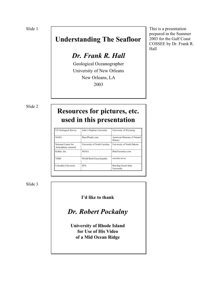
Understanding The Seafloor 2003 for the Gulf Coast COSSEE by Dr. - - PDF document

understanding the seafloor
SMART_READER_LITE
LIVE PREVIEW

Understanding The Seafloor 2003 for the Gulf Coast COSSEE by Dr. - - PDF document

Slide 1 This is a presentation prepared in the Summer Understanding The Seafloor 2003 for the Gulf Coast COSSEE by Dr. Frank R. Hall Dr. Frank R. Hall Geological Oceanographer University of New Orleans New Orleans, LA 2003 Slide 2


slide-1
SLIDE 1

Slide 1

Understanding The Seafloor

  • Dr. Frank R. Hall

Geological Oceanographer University of New Orleans New Orleans, LA 2003

This is a presentation prepared in the Summer 2003 for the Gulf Coast COSSEE by Dr. Frank R. Hall Slide 2

Resources for pictures, etc. used in this presentation

Bowling Green State University

amonline.net.au

PlateTectonics.com University of North Dakota American Museum of Natural History University of Wyoming EPA Columbia University World Book Encyclopedia VIMS NOAA Kohler, Inc. University of North Carolina National Center for Atmospheric research BayofFundy.com NASA John’s Hopkins University US Geological Survey

Slide 3

I’d like to thank

  • Dr. Robert Pockalny

University of Rhode Island for Use of His Video

  • f a Mid Ocean Ridge
slide-2
SLIDE 2

Slide 4

The Earth’s Interior

Slide 5

Three Rock Types on Earth’s Crust

Granite Basalt Gabbro

Slide 6

Where does the seafloor begin?

We have a terrestrial bias

Earth’s surface is > 70% water > 97% of this water is seawater

slide-3
SLIDE 3

Slide 7

Land-Sea Morphology

From the World Book Encyclopedia Slide 8

The Seafloor is a “Basin”

Bathtub by Kohler

slide-4
SLIDE 4

Slide 9

Water Facts

Slide 10

Map of the Seafloor

slide-5
SLIDE 5

Slide 11

Passive Margins

An example of the structure of passive continental margins. Notice the delta lobe at the bottom. These are called “Deep-sea fans”. Slide 12

Passive Margin Profile

Littoral Zone Neritic Zone

slide-6
SLIDE 6

Slide 13

Continental Shelf

Littoral (0-20m) Neritic (20-500m)

Slide 14

Littoral Zone

Shallowest, Tidally Influenced Where the Oceans meet the Land Marshes Estuaries Beaches, Bars, Barrier Islands, Cheniers Coral Reefs Deltas Slide 15

Hurricane Lili: 2002

Severe storms impact the Littoral zone

slide-7
SLIDE 7

Slide 16

Marshes

Habitats for many forms

  • f life

Typically quiet in terms

  • f currents

Sediments are typically fine-grained (muds)

Slide 17

Estuaries

Satellite Image of Delaware and Chesapeake Bays

Semi-enclosed water bodies There are four kinds of estuaries

The following four slides are from the University of North Carolina Slide 18

Salinity structure of an estuary

1) Highly stratified estuary (Salt-Wedge)

Freshwater inflow Sea water (more dense) (less dense)

E.G., Chesapeake Bay

Large riverine inputs: Fresh water floats on top

  • f salt
slide-8
SLIDE 8

Slide 19

Salinity structure of an estuary

2) Partially mixed

E.G., San Francisco Bay

Tides mix salt water into fresh Slide 20

Salinity structure of an estuary

3) Well mixed

E.G., Narragansett Bay

Low riverine inputs, large tidal influence mixes waters Slide 21

Salinity structure of an estuary

4) Fjord-type estuaries

E.G., Inderbitzen Fjord (Canada)

Only found where glaciers have influenced the coast.

slide-9
SLIDE 9

Slide 22

Beaches, Bars, Barrier Islands, Cheniers

Slide 23

Deltas

slide-10
SLIDE 10

Slide 24

Neritic Zone

On most passive margins, neritic zones are basically

  • inactive. That is to say,

sediments are typically not being delivered to this part of the shelf by rivers. A notable exception is the Shelf off Brasil where the Amazon River brings sediemnts up to the shelf break. Slide 25

Continental Slope

The Hudson Canyon is an example of an incised feature on continental slopes. Passive margins, canyons are typically inactive

slide-11
SLIDE 11

Slide 26

Continental Rise Deep-Sea Fans

USGS Image of the Mississippi River fan Slide 27

The Abyss Nares Abyssal Plain

Abyssal Plain Abyssal Hills Islands

Abyssal Hills exist under the abyssal plain: the sediment cover results in a smooth seafloor.

slide-12
SLIDE 12

Slide 28

(Mid) Ocean Ridges aka Spreading Centers

The longest, continuous feature

  • n the Earth’s

Crust. A volcanic mountain chain that stretches around the world In the Atlantic and Indian Oceans, the Ridge is indeed in the “Middle”. Hoewever, in the pacific, it is on the eastern side of the basin. Thus, it is called the “East pacific Rise”. Breakes along the path of the ridge are called “Fracture Zones”

  • r “Transform Faults”.

Slide 29

Spreading Centers and Plate Tectonics

At spreading centers, new seafloor is crated as hot, molten rock rises through the volcanoes. This is the upward movement of convection cells within the mantle.

slide-13
SLIDE 13

Slide 30

The Graben of the East Pacific Rise

(From Dr. Robert Pockalny, University of Rhode Island)

Video taken from the Alvin on the East Pacific Rise in 1994

A graben is a depression. In this case, it denotes the axial valley associated with the east pacific Rise. Slide 31

Heat Flow and Plate Tectonics

As you move way from the spreading center, you move into

  • lder oceanic crust older seafloor

As the seafloor ages, it slowly cools, increases in density, and sinks to deeper depths.

Slide 32

Spreading Centers: Evidence of Plate Tectonics

Magnetic Stripes that Parallel the Ridge

slide-14
SLIDE 14

Slide 33

Trenches: Subduction Zones

The seafloor around Australia has the Philippine Plate colliding with the Pacific Plate that dives underneath forming a trench.

At subduction zones,

  • lder ocean floor, that

began at the spreading centers, dive into the

  • mantle. Earthquakes are

very common in areas of subduction. Slide 34

Hot Spots The Formation of Hawai’i

Your homework assignment relates to this phenomenon. Are hotspots permanent features on the Earth?

slide-15
SLIDE 15

Slide 35

Deep-Sea Sediments Four Sources

Terrigenous (derived from land) Biogenic (remains of organisms) Chemical (usually as precipitates) Extraterrestrial (micrometeorites and tektites) Slide 36

Terrigenous

Rivers Wind Glaciers Icebergs

slide-16
SLIDE 16

Slide 37

Terrigenous

Volcanic Eruption: Mt. Pinatubo

Slide 38

Biogenic

Calcareous Siliceous Chitonous Phosphatic

Phosphatic includes things like fish scales and bones. In addition to calcareous foraminifera, there are also “agglutenated” varieties that make their shells out of surrounding sediment.

slide-17
SLIDE 17

Slide 39

Chemical

Black Smoker from a Hydrothermal Vent Slide 40

Extraterrestrial

Meteorites impact the Earth from outer space. Although grouped with “extraterrestrial”

  • bjects, tektites are

actually created from Earth materials that are ejected into the air when a meteorite hits. Meteorite Tektite

Slide 41

Homework Assignment

HOTSPOTS are thought of as “fixed” features

  • n the Earth’s surface, but are they really?

This will be your homework assignment: Examine and report on new data that suggests that the Hawaiian Hotspot moved over time. Prepare a 3-5 page (1 inch margins, 1.5 line- space, 12 pt Times New Roman font) report on Hotspots and the implications of the Hawaiian Hotspot moving. Examine the results of Ocean Drilling Leg 197: http://www-odp.tamu.edu