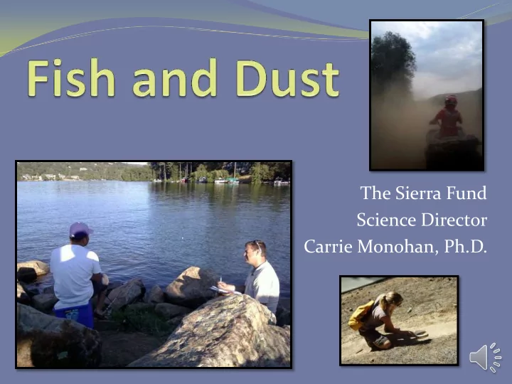

The Sierra Fund Science Director Carrie Monohan, Ph.D.
Mercury and the Gold Rush USGS Fact Sheet 2005-3014
Mercury and the Gold Rush Mercury was used during hardrock and hydraulic mining. It is still entrained in the river gravels. Deer Creek 1908 Greenhorn Creek 2011
Mercury in Fish
Cal/EPA Office of Environmental Health Hazard Assessment (OEHHA). December 2003 (updated 2009). Health Advisory for Selected Water Bodies in the Northern Sierra Nevada Foothills (Nevada, Placer, and Yuba Counties).
Limited Fish Consumption Advisories Mercury OEHHA
Fish Advisory for Folsom Lake http://oehha.ca.gov/fish/so_cal/folnat101108.html
Fish Advisory for Lake Natoma http://oehha.ca.gov/fish/so_cal/LakeNatoma.html
Gold County Angler Survey A Pilot Study to Assess Mercury Exposure from Sport Fish Consumption in the Sierra Nevada http://www.sierrafund.org/pdf/AnglerSurvey.pdf
Are people eating the fish? Survey Locations Deer Creek Upper Scotts Flat Lake Lower Scotts Flat Lake Lake Wildwood Bear River Rollins Lake Lake Combie Camp Far West Reservoir South Yuba River North Yuba River Lake Englebright Lower Yuba River (below Englebright) Folsom Lake Natoma
Location of Surveys 218 Surveys Completed 69 were collected in 2009 40 82 were collected in 2010 35 30 53 were completed in 2011 25 14 were completed in 2012 20 15 10 5 0
Are you going to feed Are you going to eat the fish you catch to the fish you catch your family? today? Don't Know Don't 1% Know 1% No No Yes 39% 44% 60% Yes 55% Household Consumption Information 52% 46% 7% Children in Women b/w 18-49 Pregnant or nursing household eaten eaten sport fish in women eaten sport sport fish in the last the last year fish in the last year year
Do you EVER eat the fish that you or someone you know catches? 77% Fish Consumption By Species No 19% 59% 39% Yes 35% 33% 80% 25% 23% 23% 19% 12% 9% 8% Rainbow Trout Bass, any species Cat Fish Brown Trout Kokanne Salmon Crappie Sun Fish/Blue Gill Cray Fish Other Chinnok Salmon Sturgen Clams
Methylmercury Exposure from Sport Fish Consumption 90 Women over 45 and Men 80 Sensitive Populations* µg Methylmercury/Day 70 OEHHA Recommended Safe Level for Women over 45 and Men-assume 60 70kg (154lbs) OEHHA Safe Level for Sensitive Populations*-assume 70 kg person and 50 35kg child (154lbs and 77lbs child) 40 30 21 µg MeHg/Day 20 7µg MeHg/Day 10 0 Survey Participant Cal/EPA OEHHA. June 2008. Development of Fish Contaminant Goals and Advisory Tissue Levels for Common Contaminants in California Sport Fish: Chlordane, DDT’s, Dieldrin, Methylmercury, PCBs, Selenium, and Tosaphene.
Angler Survey Summary and Conclusions 80% of anglers reported eating sport fish 50% feed the fish they catch to women/children 10% are consuming mercury at levels above the OEHHA safe eating guidelines Posted warnings were not present at most fishing locations Exposure potential is high with limited awareness www.sierrafund.org/mining/Gold_Country_Angler_Survey.pdf
This information applies to all lakes and reservoirs in CA without site- specific advice (OEHHA, 2013)
Dust & the Gold Rush Rock crushed in mills Tons of waste rock spread over large areas Piles of rocks used for many things Construction Road surfaces Fill Dirt
Dust and Mounds Recreation creates dust Trails go through Abandoned Mines Is there a problem? Exposure Scenarios Site Specific Risk Assessments How big is this problem?
A Pilot Study to Assess Exposure Potential to Toxics from Mine Waste and Naturally Occurring Asbestos http://www.sierrafund.org/pdf/Trai lsAssessmentREPORT.pdf
How high is too high? US EPA BLM Risk Lab Detection PRGs for Cal EPA Management Initial Secondary Limits Residential Industrial Criteria for Screening Screening Element Symbol (ME-ICP41m) Soil CHHSLs Recreation Level Level (mg/kg) (mg/kg) (mg/kg) (mg/kg) (mg/kg) (mg/kg) Arsenic As 2 22 0.24 300 22 270 Chromium Cr 1 210 100,000 210 100,000 320 1000 80 1000 Lead Pb 2 400 Initial Screening Level-not good Secondary Screening Level- really NOT good Bureau of Land Management (BLM). 2004. Risk management Criteria for Metals at BLM Mining Sites. Technical note 390 rev. October 2004. California Environmental Protection Agency (Cal/EPA). (2009). Use of California Human Health Screening Levels (CHHSLs) in Evaluation of Contaminated Properties. California Environment Protection Agency. January 2005.
Lead….Asbestos….
Downieville Area Results North Yuba Trail: Goodyears Bar (15% and 11% asbestos) Slug Canyon (118-439 ppm arsenic) Columbo Mine above Sierra City (350-442 ppm arsenic) Saddleback Road (1,570 ppm lead, 14% asbestos) No elevated levels: Downieville First Divide Trail Eureka Diggins OHV area
Recommendation Recreational Trails Survey Quantify dust exposure for recreational activities in the higher risk areas identified. Dust monitoring activities by qualified professionals with adequate health and safety training and protective equipment. Activity – based air sampling (ABS) http://www.sierrafund.org/pdf/TrailsAssessmentREPORT.pdf
What can we do? Public Meetings Health professionals involved Maternal Health Awareness Fish Consumption Advisories Dust Exposure Signs Asbestos-NOA Trails AML Trails PA/SI NOA
Long Term Solution-Clean it Up Mercury Removal from contaminated areas What was once a non-point source is no longer Abandoned Mine Remediation What was once remote is no longer Carrie Monohan, Ph.D. carrie.monohan@sierrafund.org
Acknowledgements These studies were funded in part by the Richard and Rhoda Goldman Fund , True North Foundation , The California Endowment , and The California Wellness Foundation. THANK YOU TO: All of our Working Group Advisors Volunteers that helped conduct the surveys including: Gold Country Fly Fishers, Deer Creek Citizen Monitors, and the Upper American River Foundation Angler Survey Reviewers: Robert Brodberg, Ph.D. Office of Environmental Heath Hazard Assessment Janis Cook, Ph.D. Central Valley Regional Water Quality Control Board Fraser Shilling, Ph.D. University of California, Davis Alyce Ujihara, California Department of Public Health Michelle Wood, Central Valley Regional Water Quality Control Board Recreational Trails Assessment Reviewers: Wesley Nicks, Nevada County Department of Environmental Health Jill Pahl, Placer County Department of Environmental Health Tom Quinn, Forest Supervisor, Tahoe National Forest Randy Adams, CA Department of Toxic Substances Control John Hillenbrand, US Environmental Protection Agency
Recommend
More recommend