
SLIDE 1
The Salinas Stream Maintenance Program January 22, 2015 Panel - - PowerPoint PPT Presentation
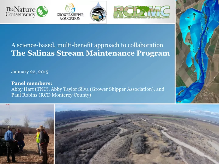
A science-based, multi-benefit approach to collaboration The Salinas Stream Maintenance Program January 22, 2015 Panel members: Abby Hart (TNC), Abby Taylor Silva (Grower Shipper Association), and Paul Robins (RCD Monterey County) Context
(when appropriate)
5 and 10 year return flow events https://www.youtube.com/watch?v=2vow6b8VEq0
5 and 10 year return flow events https://www.youtube.com/watch?v=2vow6b8VEq0