
SLIDE 1
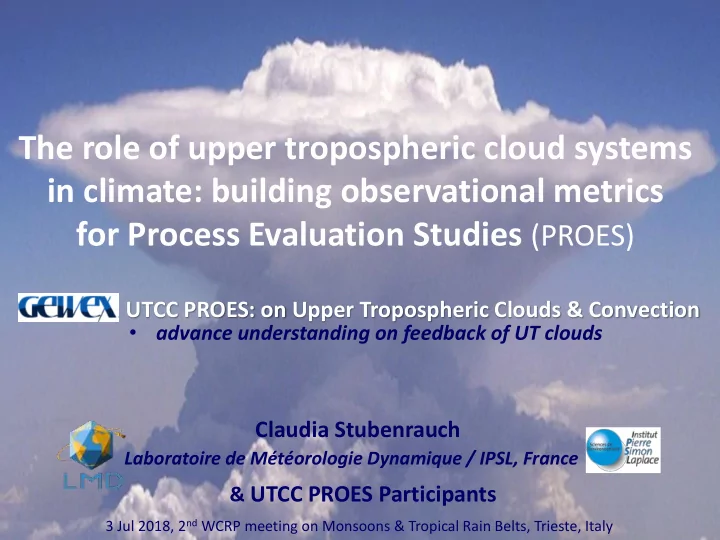
The role of upper tropospheric cloud systems in climate: building observational metrics for Process Evaluation Studies (PROES)
Claudia Stubenrauch
Laboratoire de Météorologie Dynamique / IPSL, France
3 Jul 2018, 2nd WCRP meeting on Monsoons & Tropical Rain Belts, Trieste, Italy
UTCC PROES: on Upper Tropospheric Clouds & Convection
- advance understanding on feedback of UT clouds