
SLIDE 1
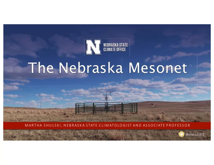
The Nebraska Mesonet
! "#$%"&'%( )'* + ,&- ./#"'* "&'$"$.&0)+ ! "$1)12+ '$&"- 3&"''10+ "$.&4 #15.''1#
6789:;8<=>
The Nebraska Mesonet ! "#$%"&'%( )'* + ,&- - - PowerPoint PPT Presentation
The Nebraska Mesonet ! "#$%"&'%( )'* + ,&- ./#"'* "&'$"$.&0)+ ! "$1)12+ '$&"- 3&"''10+ "$.&4 #15.''1# 6789:;8<=> The Nebraska State Climate Office
! "#$%"&'%( )'* + ,&- ./#"'* "&'$"$.&0)+ ! "$1)12+ '$&"- 3&"''10+ "$.&4 #15.''1#
6789:;8<=>
The Nebraska State Climate Office
MISSION Deliver science-based weather and climate information for decision-making. OBJECTIVES ! Provide high quality and timely services. ! Engage stakeholders to understand needs. ! Operate a statewide weather network. !"#$%&!'%()&
* + , - . / 0 . 1/ 2. 2 + 13 4 5 6 .2 + 17 8 8 5 3 + * + , - . / 0 . 1/ 2. 2 + 13 4 5 6 .2 + 17 8 8 5 3 +
The Nebraska Mesonet
9("$!(:%&!'%()&
* + , - . / 0 . 1/ 2. 2 + 13 4 5 6 .2 + 17 8 8 5 3 +
MISSION Monitor weather and climate conditions of Nebraska. History ! Began in 1981 with 5 stations. ! Currently at 69 stations. ! Transition from ag network to long-standing environmental monitoring program. Transition from ag network
GOTHENBURG 2NW MICRONET A CITY 3NW NEBRASKA CITY 3NW SMOUTH 2SEA T T H E N E B R A S K A S T A T E C L I M A T E O F F I C E
* + , - . / 0 . 1/ 2. 2 + 13 4 5 6 .2 + 17 8 8 5 3 +
Observations
! Air temperature (2m) ! Humidity (2m) ! Wind speed (3m) ! Wind direction (3m) ! Warm season precipitation ! Solar radiation ! Soil temperature
10cm, bare ground
;<=("13(!:(>
* + , - . / 0 . 1/ 2. 2 + 13 4 5 6 .2 + 17 8 8 5 3 +
Observations
! Air temperature (2m) ! Humidity (2m) ! Wind speed (3m) ! Wind direction (3m) ! Warm season precipitation ! Solar radiation ! Soil temperature
10cm, bare ground
! Soil moisture
10, 25, 50, 100 cm, grass
! Barometric pressure
*$>:?1@'<::(
* + , - . / 0 . 1/ 2. 2 + 13 4 5 6 .2 + 17 8 8 5 3 +
Observations
! Air temperature (2m) ! Humidity (2m) ! Wind speed (3m) ! Wind direction (3m) ! Warm season precipitation ! Solar radiation ! Soil temperature
10cm, bare ground
! Soil moisture, temp
5, 10, 20, 50, 100 cm, grass
! Barometric pressure ! 10-m temperature, humidity, wind
4A!#$'! +<":1#<9B&"
* + , - . / 0 . 1/ 2. 2 + 13 4 5 6 .2 + 17 8 8 5 3 +
Station siting
Considerations ! Rural ! Grass cover ! Limited obstructions ! Long-term ! Non-irrigated
6(9B?A"1 C*
* + , - . / 0 . 1/ 2. 2 + 13 4 5 6 .2 + 17 8 8 5 3 +
Value of a state Mesonet
! State of the art equipment (Campbell Scientific, Li-Cor, RM Young). ! Regular calibration services. ! Annual maintenance. Sensor upgrades as needed. ! Quality controlled data. ! Near real-time available (every 5 minutes, transitioning to 1 minute). ! Data products available. ! Non-mesonet dataset visualization.
* + , - . / 0 . 1/ 2. 2 + 13 4 5 6 .2 + 17 8 8 5 3 +
Soil moisture monitoring genesis
Goal: improved water supply monitoring for drought mitigation ! Installation began in 1998 with Stevens-Vitel Hydra-Probe. ! Depths of 10cm, 25cm, 50cm, 100cm. ! U.S. Bureau of Reclamation grant funding. ! Reliability of Vitel sensors became an issue.
* + , - . / 0 . 1/ 2. 2 + 13 4 5 6 .2 + 17 8 8 5 3 +
!"#$%&'%()$*+,-.(/0&.*$12(34()$*+,-.(5*60.*$
* + , - . / 0 . 1/ 2. 2 + 13 4 5 6 .2 + 17 8 8 5 3 +
Soil moisture monitoring developments
! Transition to Dynamax ML2x Theta Probes in 2001. ! Many still in place, running successfully for > 10 years. ! To align with federal standards,
installations are: 5cm,10cm, 20cm, 50cm, 100cm. ! Current sensor is the ML3.
* + , - . / 0 . 1/ 2. 2 + 13 4 5 6 .2 + 17 8 8 5 3 +
Soil moisture data integrity issues
When bad things happen to good data: ! Sensor goes bad. ! Wire is chewed. ! Crack in the soil column. ! Sensor is dug up. ! Animal burrow. ! Lightning strike. The two best forms of quality control are: ! Regular site visits. ! A person looking at the data.
* + , - . / 0 . 1/ 2. 2 + 13 4 5 6 .2 + 17 8 8 5 3 +
Soil moisture data integrity issues
* + , - . / 0 . 1/ 2. 2 + 13 4 5 6 .2 + 17 8 8 5 3 +
Soil moisture data integrity issues
* + , - . / 0 . 1/ 2. 2 + 13 4 5 6 .2 + 17 8 8 5 3 +
Soil moisture data products
* + , - . / 0 . 1/ 2. 2 + 13 4 5 6 .2 + 17 8 8 5 3 +
Data utility - applications
! State agency briefings. ! Hydrologic support. ! Assess drought conditions with local input.
* + , - . / 0 . 1/ 2. 2 + 13 4 5 6 .2 + 17 8 8 5 3 +
Data utility - research
! Land-surface – atmosphere interactions. ! Mesoscale weather modeling. ! Drought assessment. ! Model and remote sensed verification. ! Vadose zone hydrology.
* + , - . / 0 . 1/ 2. 2 + 13 4 5 6 .2 + 17 8 8 5 3 +
Climate updates