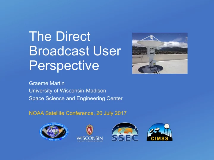

The Direct Broadcast User Perspective Graeme Martin University of Wisconsin-Madison Space Science and Engineering Center NOAA Satellite Conference, 20 July 2017
Direct Broadcast • Direct Broadcast allows users to generate products locally from data received directly from satellites • Products are generated with low latency, data coverage is specific to the users’ local region • Data is used in real-time decision making • US missions with a direct broadcast stream: Aqua, Terra, Suomi NPP, GOES 13, 14, 15 and 16 • DB has opened up data access to a wide audience of users and apps, especially for realtime decision making, that wouldn’t have happened otherwise • DB is generally a robust and reliable method of distribution Processing Data • Some users can get data via terrestrial distribution: System Products but some do not have access to a reliable internet connection with sufficient bandwidth 20 July 2017 The DB User Experience 2
CSPP Users CSPP / IMAPP User Meeting, 3 June 2017
Direct Broadcast Software • Users have come to expect that they can receive data using stations that they have built or bought, and there will be freely available software • Availability of free software lowers cost for end users • Allows vendors to focus on hardware, lower total cost of ownership • Often software has already been developed by the government • Allows people to start working with the data sooner • Software is freely available to process data from U.S. weather satellites through: • IMAPP • CSPP LEO • CSPP Geo • The software supports the creation of calibrated observational data, geophysical derived products, and mapped images from visible, infrared, and microwave sensors. 20 July 2017 The DB User Experience 4
International MODIS/AIRS Processing Package (IMAPP) • Supported missions: Aqua and Terra, also Suomi NPP and JPSS-1 • Funded by NASA since 2000 Product Software Polar2Grid True Color IMAPP MODIS Level 2 • Atmosphere Group Collect 6 – MODIS Science Team MODIS Products Software • MODIS Polar Products • MODIS Land Products (Terra and Aqua) • AIRS and AMSU Products (Aqua) • AMSR-E Products • HYDRA2 Multispectral Data Analysis Toolkit • Numerical Weather Prediction (NWP) Model DBCRAS • Overshooting Tops Aviation Hazard Software • Visibility Products – Aviation Applications • IMAPP Virtual Appliance • Infusing satellite Data into Environmental Applications – MODIS Polar Products International (IDEA-I) IDEA-I Trajectory 48 hour • Web Mapping Service (WMS) for display of GeoTIFFs forecast • MODIS Image Products IMAPP Web Mapping Service AWIPS Forecasting POPs 5
Community Satellite Processing Package (CSPP) LEO • Supported polar orbiting mission: Suomi NPP and future JPSS-1, also Metop-A/B, NOAA-18/19, Terra, Aqua, GCOM-W1, FY-3B/C • Funded by NOAA JPSS Program Office since 2010 New product: Product Software VIIRS Flood Detection VIIRS EDRs • Suomi NPP Sensor Data Records (SDR) • VIIRS Environmental Data Records (EDR) geophysical products • HSRTV hyperspectral IR retrievals • Polar2Grid re-projected imagery • Hydra interactive data visualization tool • MIRS microwave sounder retrievals • CLAVR-x imager retrieval products • NUCAPS hyperspectral IR and microwave sounder retrievals • ACSPO sea surface temperature retrievals MODIS Imagery (Polar2Grid) • Sounder Quicklooks for atmospheric profiles Temperature / Moisture • VIIRS Imagery EDR (HSRTV) Cloud products (CLAVR-x) Sea Surface Temperature (ACSPO) 6
Community Satellite Processing Package for Geostationary (CSPP Geo) • Supporting Geo satellite missions: GOES-16, also Himawari-8, GOES-13 and 15 • Funded by NOAA GOES-R Program GRB package quicklooks Product Software Himawari AHI Imagery and Cloud • GRB package (L1 ABI and Space Weather, L2 products (GEOCAT) GLM) • AIT Framework Level 2 Package for ABI (alpha status) • GVAR package • Geocat Level 2 package for Himawari AHI, GOES-13 and 15 (beta status) • Composite RGB package for Himawari AHI SUVI Imagery Himawari AHI (alpha status) (GRB Package) Composite RGBs • Data converters and utilities GOES-R true color (future package) GOES-16 Land Surface GOES-16 Cloud Top Height Temp. (AIT Framework) (AIT Framework) 7
Concerns, opportunities and recommendations • Keep direct broadcast on future spacecraft • Keep funding development and distribution of freely available software for direct broadcast users • Preserve spectrum for direct broadcast • Consider cost of entry for direct broadcast users • Add Level 2 products for GOES-16 • DB community should advocate for continued direct broadcast • Consider DB in all phases of mission (pre- and post-launch) • Communication with DB users is key (e.g. through groups like GRB Working Group) 20 July 2017 The DB User Experience 8
Recommend
More recommend