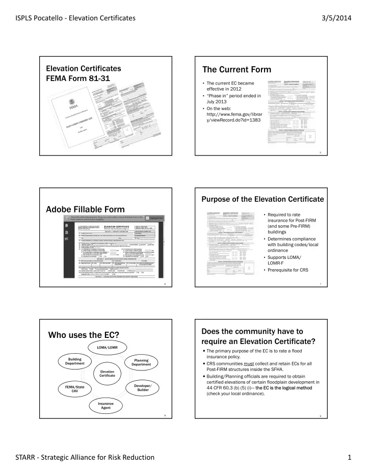
the current form
play

The Current Form FEMA Form 81-31 The current EC became effective - PDF document

ISPLS Pocatello Elevation Certificates 3/5/2014 Elevation Certificates The Current Form FEMA Form 81-31 The current EC became effective in 2012 Phase in period ended in July 2013 On the web: http://www.fema.gov/librar


  1. ISPLS Pocatello ‐ Elevation Certificates 3/5/2014 Elevation Certificates The Current Form FEMA Form 81-31 • The current EC became effective in 2012 • “Phase in” period ended in July 2013 • On the web: http://www.fema.gov/librar y/viewRecord.do?id=1383 5 Purpose of the Elevation Certificate Adobe Fillable Form • Required to rate insurance for Post-FIRM (and some Pre-FIRM) buildings • Determines compliance with building codes/local ordinance • Supports LOMA/ LOMR-F • Prerequisite for CRS 6 7 Does the community have to Who uses the EC? require an Elevation Certificate? LOMA/LOMR  The primary purpose of the EC is to rate a flood insurance policy. Building Planning  CRS communities must collect and retain ECs for all Department Department Post-FIRM structures inside the SFHA. Elevation Certificate  Building/Planning officials are required to obtain certified elevations of certain floodplain development in Developer/ FEMA/State 44 CFR 60.3 (b) (5) (i)— the EC is the EC is the the logic logical l meth method Builder CAV (check your local ordinance). Insurance Agent 8 9 STARR ‐ Strategic Alliance for Risk Reduction 1

  2. ISPLS Pocatello ‐ Elevation Certificates 3/5/2014 Does the EC certify a building as Completing the EC “compliant”? The Elevation Certificate is a report of existing conditions. The surveyor/engineer’s stamp does not certify that the structure complies with federal, state, or local regulations; it only certifies the elevations in Section C. THE COMMUNITY must review the certificate for completeness and accuracy, and determine if the structure is compliant! 10 Section A – Property Information Key Terms  FIRM = Flood Insurance Rate Map  FIS = Flood Insurance Study  BFE = Base Flood Elevation  SFHA = Special Flood Hazard Area (1% ACF)  LAG = Lowest adjacent grade  Property description  Photographs, two required  HAG = Highest adjacent grade for flood insurance rating  Latitude/Longitude  Lowest Floor  Measurements of crawl  Horizontal datum (NAD)  Bottom Floor spaces, enclosures,  Building diagram number attached garages, and flood openings 12 13 A7 – Building Diagram Section A – Property Information  Can be completed by the community or homeowner  Verify property description/use and building diagram  Review number of flood openings for compliance  Proper building diagram selection is essential for determining the elevations that must be measured to properly complete the EC  Take photographs that capture the characteristics that support the building diagram 14 15 STARR ‐ Strategic Alliance for Risk Reduction 2

  3. ISPLS Pocatello ‐ Elevation Certificates 3/5/2014 Flood Openings Flood Openings  A flood opening is a permanent opening that allows for the free passage of water automatically in both directions without human intervention.  Under the NFIP, a minimum of two openings are required for every enclosed area or crawlspace.  The openings shall provide a total net area of not less than one square inch for every square foot area enclosed, excluding any bars, louvers, or other covers of the opening. 16 Engineered Flood Openings More About Flood Openings  Individual Engineered Flood Openings Certification or  A window, a door, or a garage door is not considered an an Evaluation Report issued by the International Code opening; but openings may be installed in doors. Council Evaluation Service (ICC ES) must be submitted  Subtract area of grates, louvers, or grills to document that the design of the openings will allow for automatic equalization of hydrostatic flood forces on exterior walls. 18 19 Attached Garages More About Flood Openings Separate foundations  The bottom of the openings must be no higher than one Can be considered a separate structure Can be insured separately foot above the higher of the exterior or interior grade or floor immediately below the opening.  For more guidance on openings, see NFIP Technical Bulletin 1 – ‘Openings in Foundation Walls and Walls of Enclosures.’” Common wall Single structure One insurance policy Could also have a separate EC 20 STARR ‐ Strategic Alliance for Risk Reduction 3

  4. ISPLS Pocatello ‐ Elevation Certificates 3/5/2014 Section B – FIRM Information  Can be completed by the community or homeowner  Verify ALL FIELDS, especially Community Number, Map/Panel numbers/dates and BFE  Check elevation datum used (NGVD29/NAVD88) 22 23 B2 & B3 B2 & B3 We interrupt this program… B1 B1 Visit http://j.mp/starronlinetraining and www.starr-team.com for additional training opportunities including Determining BFE! B4 & B4 & B5 B5 B7 B7 B6 B6 24 25 Section B – FIRM Information Common Errors in Section B  Wrong Community Number  Very common after new maps or annexations  Wrong Index date  Base Flood Elevation (BFE) to the tenth (0.1) of a foot.  Wrong Panel date  Zone AE or A1-99—Use Flood Insurance Study  Item B-10: Where did the BFE come from, especially in unnumbered “A” zones  Zone AO—Use depth number on the FIRM/FIS  Zone A—if no BFE available, enter “N/A” and complete  Estimating BFE’s between the wavy lines on the FIRM Section E, unless applying for a LOMA or LOMR-F  Zone VE—Use the FIRM and FIS 26 27 STARR ‐ Strategic Alliance for Risk Reduction 4

  5. ISPLS Pocatello ‐ Elevation Certificates 3/5/2014 C1 – Basis for Elevations Section C – Building Elevations  MUST be completed by a surveyor or engineer  “Finished construction” means all machinery and New! Ne w! equipment are installed and final grading is completed  NO Blanks – use “N/A” if there is nothing to measure  Indicate if elevations are  From construction drawings  For building under construction  Finished construction – only after all machinery and equipment are installed and grading around structure is complete 28 29 Section C - Benchmarks Section C – Building Elevations • Each benchmark in a network has a unique N/A identifier • The National Geodetic Survey uses the Permanent Identifier  Enter measurements to nearest tenth of a foot (PID) to uniquely identify  This section is required for Zones A1-30, AE, AH or A (with each benchmark. BFE) and for VE zones • Most other networks will  This section is not required for Zones AO or A (without BFE), assign a similar identifier except to support an application for LOMA or LOMR-F 30 31 C2 a – Top of Bottom Floor Section C - Building Elevation Data N/A N/A  “Top of bottom floor” elevation depends on construction  It may be necessary to enter the building to ensure that and diagram number indicated in Section A. all required elevations are obtained  Use the same datum as was used in B9  Slab foundation  Enclosure floor  Basement floor  Crawlspace floor  Elevated floor 33 32 STARR ‐ Strategic Alliance for Risk Reduction 5

  6. ISPLS Pocatello ‐ Elevation Certificates 3/5/2014 Top of Bottom Floor Top of Bottom Floor 34 35 C2 d – Attached Garage Bottom Floor vs. Lowest Floor Bo Bott ttom Floor Floor Lo Lowest st Floor Floor  Objective  Interpreted by the community floodplain administrator  Measured by the surveyor  Based on multiple factors  The floor with the lowest elevation  Used for rating insurance  Assumed to be level  Determines whether structure  An attached garage means the garage is beside the building, not is compliant with local  If sloped, use lowest point of underneath or separate the floor floodplain ordinance  Record the elevation for attached garages only, otherwise enter  C2.a on the EC “N/A” 36 37 37 Attached Garages C2 e – Machinery and Equipment Separate foundations Lowest of Lo of *all *all* Can be considered a separate structure Can be insured separately  Machinery and equipment servicing the building includes those Common wall located in an attached garage, enclosure, or on an open utility Single structure platform One insurance policy Could also have a separate EC 39 39 STARR ‐ Strategic Alliance for Risk Reduction 6

  7. ISPLS Pocatello ‐ Elevation Certificates 3/5/2014 Machinery & Equipment Machinery & Equipment Yes, ductwork counts. 40 40 41 41 C2f & C2g – Lowest & Machinery & Equipment Highest Adjacent Grade BFE BFE N/A  Measure the grade immediately adjacent to the building C2e C2e 42 43 43 C2 h – Lowest Grade Elevation at Common Errors in Section C Deck Support or Stairs  Surveying for Finished Construction too early  Information certified in C2(a-g) does not support Building Diagram used  Datum not converted to that of B9 (BFE)  No entry for C2e (machinery and equipment)  Leaving field blank or entering “0” instead of using “N/A” when there is nothing to measure  Enter value only if stairs or deck are attached to the structure; if freestanding or it doesn’t exist, enter “N/A”  C2h required (if applicable) if EC will support a LOMA or LOMR-F 44 STARR ‐ Strategic Alliance for Risk Reduction 7

Download Presentation
Download Policy: The content available on the website is offered to you 'AS IS' for your personal information and use only. It cannot be commercialized, licensed, or distributed on other websites without prior consent from the author. To download a presentation, simply click this link. If you encounter any difficulties during the download process, it's possible that the publisher has removed the file from their server.

Recommend


More recommend