
SLIDE 1
The 1999 Flood of the Century: Extraordinary Hydro-meteorological Event
- r Human-induced Catastrophe?
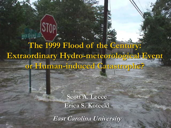
The 1999 Flood of the Century: Extraordinary Hydro-meteorological - - PowerPoint PPT Presentation
The 1999 Flood of the Century: Extraordinary Hydro-meteorological Event or Human-induced Catastrophe? Scott A. Lecce Erica S. Kotecki East Carolina University Question: Was this simply an extraordinary natural event, or a human
Question: Was this simply an extraordinary natural event,
Our approach was:
First, to assess the magnitude-frequency characteristics of the
Second, to look for trends in hydrological variables that can be
Downtown Greenville
June 21, 2006 stage = 18.4 ft Normal stage = 8 ft Floyd = 29.7 ft
The argument that human
Urban population increased 3-
Rural population remained
Source: U.S. Census Bureau
Housing units
Farm acreage
Source: U.S. Census Bureau
21 stations for the 1999 event from the National
7 USGS gauging stations with daily records Annual flood peak, 3-day flood volume, annual
September 15-16, 1999
September 4-5, 1999
1 2 3 4 5 6 7 8 9 1 0
Precipitation in Inches
Based on Preliminary Data 2 4 6 8 1 0 1 2 1 4 1 6 1 8 20
Precipitation in Inches
Based on Preliminary Data
Gauging Stations Rain Gauges
Mean = 11 in Range = 5-19 in
Mean = 16 in Range = 9-23 in
Source: Bales et al. (2000)
Mean = 55% Range = 40-85% 10 20 30 40 50 60
Oxford Louisburg Rocky Mount Enfield Greenville Washington Durham Raleigh Clayton Goldsboro Wilson Kinston New Bern Trenton Chapel Hill Dunn Fayetteville Clinton Willard Elizabethtown Wilmington
Rainfall (in)
Average Annual
Source: Bales et al. (2000)
Source: Bales et al. (2000)
Source: Bales et al. (2000)
Station Measured 24-hr Precipitation Maxima (in) Estimated Recurrence Interval (yr)a Elizabethtown Lock 2 13.60 200 Wilmington WSO Airport 15.04 200 Rocky Mount 14.73b 500 Kinston 12.54b 200
afrom Hershfield (1961) (100-yr, 24-hr = 8-9 in) and NOAA's
Precipitation Frequency Data Server.
bfrom Bales et al. (2000).
Source: Malamud, B.D., Turcotte, D.L., Barton, C.C. 1996. The 1993 Mississippi River Flood: A One Hundred or a One Thousand Year Event? Environmental & Engineering Geoscience 2: 479-486.
Mississippi River at Keokuk, IA
Recurrence Interval (yr)
10-1 100 101 102 103 104
Discharge (m3/s)
103 104 105 USGS LP3 Annual Series
Recurrence Interval (yr)
10-1 100 101 102 103 104
Discharge (m3/s)
103 104 105 Partial Series Power Law USGS LP3 Annual Series
Drainage Area (km2)
100 101 102 103 104 105
Discharge (m3/s)
100 101 102 103 104 105
Tar River near Tar River Tar River at Tarboro Neuse River near Clayton Neuse River near Goldsboro Neuse River at Kinston Cape Fear River at Lillington Cape Fear River near Tarheel Coastal Plain
Wetlands have a limited storage capacity, which is more
Scale matters…it is well-documented that the largest
all surfaces become saturated and act as impervious surfaces
Event-sequencing
Floyd followed Dennis
Because we only have hydrologic data back to the early
What we can say, however, is that during a period of rapid
That, coupled with the extreme nature of the precipitation
“Why was the September 1999 event considered to be the “flood of the century”? Several factors led to the extreme damage resulting from this event. First and foremost, a tremendous volume of water fell in five specific rain events that included two back-to-back hurricanes. Second, and of equal importance, portions of eastern North Carolina have recently experienced tremendous growth and development. During the period from the mid-1990s, the central coastal plain region experienced incredibly high levels of development and very few, minor hurricanes. This rapid growth and development led to modifications of coastal plain drainage systems, including channelization and wetland destruction, floodplain dams, and urbanization” (Riggs 2001, 37). “Society contributed significantly to the 1999 flood crisis through modification of drainage systems that resulted in major land-use changes and subsequent encroachment into marginal wetlands by agribusiness, forestry, industry, and
land has major impacts on both the flow dynamics and flooding response” (Riggs 2001, 45).
Riggs, S.R. 2001. Anatomy of a flood. In: Facing our Future: Hurricane Floyd and Recovery in the Coastal Plain, Maiolo, et al. (eds.), Coastal Carolina Press, Wilmington, NC, 29-45.
“Thus, the “flood of the century” was first and foremost the product of two months
“The “flood of the century” was not a natural disaster…This was a human catastrophe.” (Riggs 2001, 45). Channelization “But severe drainage system modification really began in response to the late-twentieth century growth boom. Tens of thousands of miles of ditches drained vast acres of the marginal wetlands into adjacent tributaries…Channelization changed the tributary streams into pipe-like ditches for the sole purpose of getting more water off the land faster.” (Riggs 2001, 38). Floodplain dams “However, the slow discharge of floodwaters from the trunk rivers was also due to two other factors. First, there is an extensive network of road dams across the trunk river floodplains. …Second, the gradient, or river slope, decreases to zero as the lower stretches of the river approach sea level. (Riggs, 2001, 39-40).