
SLIDE 1
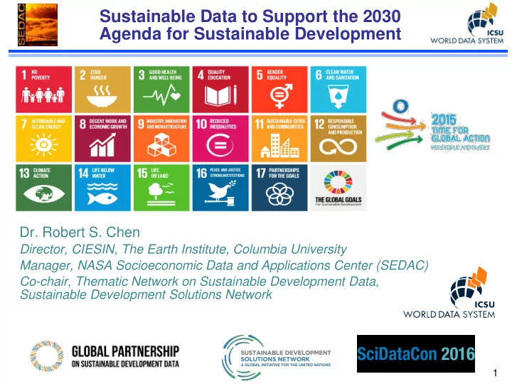
Sustainable Data to Support the 2030 Agenda for Sustainable Development
- Dr. Robert S. Chen
Sustainable Data to Support the 2030 Agenda for Sustainable - - PowerPoint PPT Presentation
Sustainable Data to Support the 2030 Agenda for Sustainable Development Dr. Robert S. Chen Director, CIESIN, The Earth Institute, Columbia University Manager, NASA Socioeconomic Data and Applications Center (SEDAC) Co-chair, Thematic Network on
https://sustainabledevelopment.un.
(emphasis added)
Inter-Agency and Expert Group on
Indicators have been categorized into three
Many different groups are working to
“The interlinkages and integrated
Each SDG needs other SDGs to
Data related to SDGs must therefore
Core data on population, settlements,