
SLIDE 1
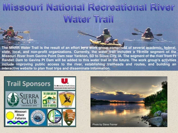
The MNRR Water Trail is the result of an effort by a work group comprised of several academic, federal, state, local, and non-profit organizations. Currently, the water trail includes a 78-mile segment of the Missouri River from Gavins Point Dam near Yankton, SD to Sioux City, IA. The segment of the river from Ft Randall Dam to Gavins Pt Dam will be added to this water trail in the future. The work group's activities include improving public access to the river, establishing trailheads and routes, and building an interactive website to plan float trips and disseminate information.
Photo by Steve Feimer