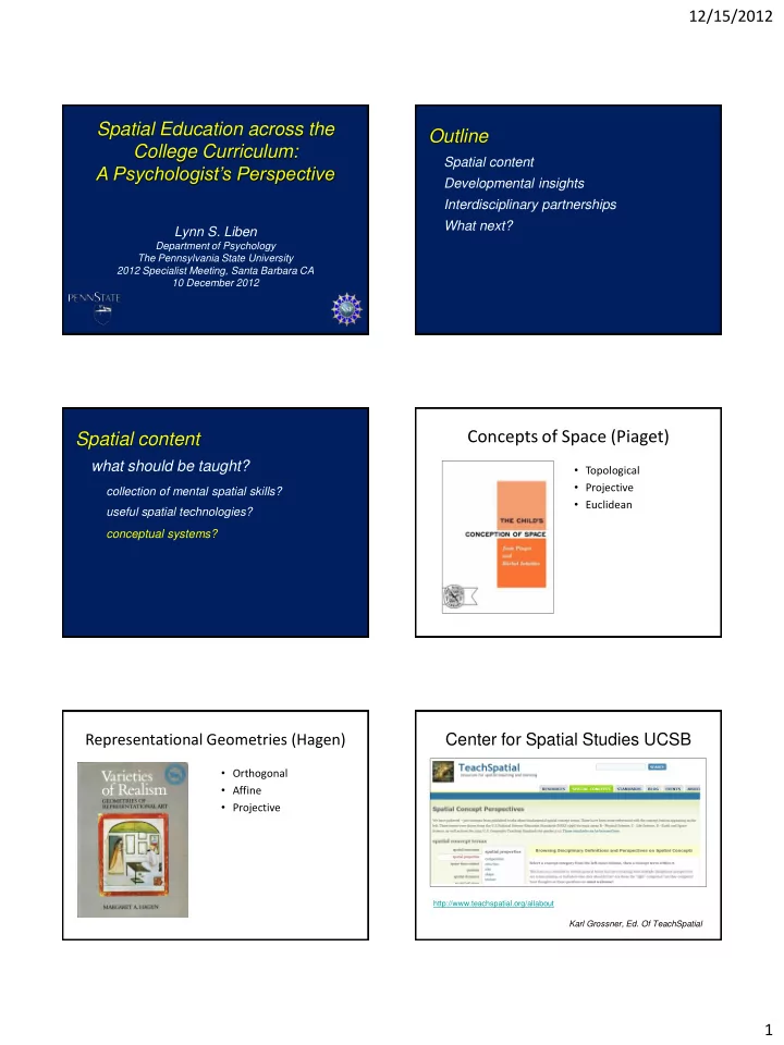
Spatial Education across the Outline College Curriculum: Spatial - - PDF document

spatial education across the outline college curriculum
SMART_READER_LITE
LIVE PREVIEW

Spatial Education across the Outline College Curriculum: Spatial - - PDF document

12/15/2012 Spatial Education across the Outline College Curriculum: Spatial content A Psychologists Perspective Developmental insights Interdisciplinary partnerships What next? Lynn S. Liben Department of Psychology The Pennsylvania


slide-1
SLIDE 1

12/15/2012 1

Spatial Education across the College Curriculum: A Psychologist’s Perspective

Lynn S. Liben

Department of Psychology The Pennsylvania State University 2012 Specialist Meeting, Santa Barbara CA 10 December 2012

Outline

Spatial content Developmental insights Interdisciplinary partnerships What next?

Spatial content

what should be taught?

collection of mental spatial skills? useful spatial technologies? conceptual systems?

Concepts of Space (Piaget)

  • Topological
  • Projective
  • Euclidean

Representational Geometries (Hagen)

  • Orthogonal
  • Affine
  • Projective

Center for Spatial Studies UCSB

http://www.teachspatial.org/allabout

Karl Grossner, Ed. Of TeachSpatial

slide-2
SLIDE 2

12/15/2012 2

Systematic approach

surfeit of choices is agreement possible? at minimum: make one explicit ideally: articulation among several

Systematic approach

generative

  • -applications to endless substantive

fields & to emerging technologies

meta-cognitive

  • -foster habits of mind
  • -facilitate transfer

Summary

Identify (articulate) systematic spatial structures to organize spatial instruction & foster students’ understanding of those structures.

Outline

Spatial content Developmental insights Identify challenges

slide-3
SLIDE 3

12/15/2012 3

Water Level Performance by Sex

(Liben & Golbeck, 1986)

10 20 30 40 50 60 70 80 90 100

Percent Passing

(5-6 correct) males females Liben & Golbeck (1986)

Water Level Performance by Sex

Downs & Liben (1991)

slide-4
SLIDE 4

12/15/2012 4

Summary

Look to developmental theory & research to identify target spatial challenges.

Outline

Spatial content Developmental insights Interdisciplinary partnerships

Understanding the Geological Concept of Strike

  • Strike: the line at the intersection between

the horizontal plane and the plane of a rock surface, recorded on a map by a line.

Liben, Kastens, & Christensen (2011) Cognition & Instruction Skinner, Briant & Porter (1995) The Dynamic Earth: An Introduction to Physical Geology.

Strike line

Key Question

  • Do adults struggle to understand strike &

does their understanding vary with their spatial skills?

slide-5
SLIDE 5

12/15/2012 5

Individual Differences in Spatial Skills

WLT given to 655 students Recruited high, medium, & low (M/F)

Artificial Outcrop A Lesson on Strike & Dip Observe Outcrop, Record Strike on Map

Response Map

  • utcrop is here
  • utcrop is here

Strike

High WLG Low WLG Medium WLG

Correct

slide-6
SLIDE 6

12/15/2012 6

Rod Direction Error by WLG Geologist’s Vignette

Liben & Titus (2012) Cognition & Instruction

Our illustrative geologist wakes up at sunrise in the desert. Over breakfast, she (1) studies her topographic map to (2) plan a traverse for the day… She intends to walk (3) along the road, (4) up a creek bed, and (5) onto the (6) top of a (7) mesa … and hopes that she’ll be able to get (8) down a (9) different way than she came up to (10) make a loop back to camp. At first, her (11) route takes her past (12) flat-lying sedimentary rocks that she (13) determines are sandstone. As she (14) continues toward the (15) mesa, she notices that the (16) orientation of the (17) sedimentary layers (18) begins to steepen until they are (19) nearly vertical. She makes (20) measurements of (21) these changing bedding orientations (22) using a compass and (23) records their locations on the

  • map. After (24) walking past the (25) vertical sedimentary

layers, she finds herself in an area with a dark, (26) massive, (27) crystalline rock with white elongate minerals. She (28) deviates from her planned traverse to walk (29) along the contact (30) between the (31) igneous and sedimentary rocks to (32) record its location on her map. After her field season, she continues to analyze and interpret her data. She makes two perpendicular cross-sections through the igneous intrusion to get a sense of the three- dimensional structure (Fig. 3). She plots the orientations of the structural data on stereographic projections to look for patterns in the lineation data (Fig. 4). Based on the lineation

  • rientations, she infers that the Black Mesa intrusion was fed

by magma from below (at the spot on the map where lineations are steepest) and that this magma then intruded as horizontal sheets between sedimentary layers. Comparing this intrusion with other regional intrusions, she and her colleagues develop a model for the geologic history of this intrusion describing how the intrusion grew taller by the intrusion of successive sheets of magma (Fig. 5).

Cross Sections of Black Mesa

slide-7
SLIDE 7

12/15/2012 7

Summary

Collaboration between learning scientists and STEM content experts is reciprocally useful… expands knowledge, skills, habits of mind (e.g., figures)

Outline

Spatial content Developmental insights Interdisciplinary partnerships What next?

Future directions

Design, implement, & evaluate interventions at general (overarching spatial structure) and precise (specific STEM content) levels simultaneously.

  • -domain-general curriculum? (spatial arts ║ language arts?)
  • -link to STEM-specific courses (║ writing across curriculum)

Future directions

Attend to affective (motivational) as well as cognitive factors.

Future directions

Address the developmental pipeline.

  • -capitalize on developmental insights
  • -coordinate w/ design of early interventions
  • -consider proficiency tests (exit HS; enter college?)

Future directions

Build new professional of “spatial curriculum specialists” to work collaboratively with STEM educators to identify & respond to learner needs for specific content.

  • -Maps, Tools for Adventure
  • -Geo- and Cognitive-Science Synthesis
  • -Discovery Space: Astronomy activities