
SLIDE 1
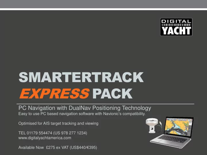
SMARTERTRACK EXPRESS PACK
PC Navigation with DualNav Positioning Technology
Easy to use PC based navigation software with Navionic’s compatibility. Optimised for AIS target tracking and viewing TEL 01179 554474 (US 978 277 1234) www.digitalyachtamerica.com Available Now £275 ex VAT (US$440/€395)