
SLIDE 1
Presentation Outline Project Limits and Objective Existing - - PowerPoint PPT Presentation
Presentation Outline Project Limits and Objective Existing Roadway Proposed Typical Sections Alignment Plans Walkthrough Pedestrian Bridge Stormwater and Floodplain Management Permitting Schedule and
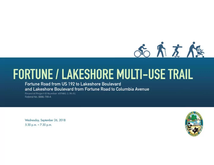
Fortune / Lakeshore Multi-Use Trail Trail Limits:
US 192 to Lakeshore Boulevard
Fortune Road to Columbia Avenue Osceola County, Florida Project Length – 7 miles Plans to connect St. Cloud’s Lakefront Park to the Kissimmee Lakefront Trail Part of Osceola County’s 200 mile Master Trail Network Plan
E ast L ake T
Partin Settlement Road
Begin Project
Columbia Avenue
End Project
Fortune Road
Project Objective: T
US 192 to Grande Boulevard Grande Boulevard to Marlo Road Marlo Road to Lakeshore Boulevard
Fortune Road to Columbia Avenue
US 192 to Grande Boulevard
E ast L ake T
Lakeshore Boulevard Partin Settlement Road Fortune Road
Fortune Road:
Fortune Road: Grande Boulevard to Lakeshore Boulevard Lakeshore Boulevard: Fortune Road to Columbia Avenue
E ast L ake T
Partin Settlement Road Fortune Road
construction operations (grading harmonizing) and driveway improvements.
Bill Beck Blvd Fortune Rd
Maintain Existing Sidewalk
F
t une R
At hl et i c Compl ex
Harbor Town Rd. Jane Ln. La Fortune Blvd.
R/W Constraint Circle K Stores R/W Constraint Orteka Ptnr Group
Fortune Rd Fortune Rd Fortune Rd
Providence Blvd Kissimmee Bay Blvd Marlo Rd Fortune Rd Fortune Rd
Mid‐Block Crossing (601 E. Lakeshore Rd)
Monica Ter Remington Blvd
R emi ngt
st at es R emi ngt
st at es
R/W Constraint Remington Golf Course Widen Existing Sidewalk along Golf Course
Signalized Crossing Mid‐Block Crossing (1143 E. Lakeshore Rd) Re‐stripe approaches to eliminate R/W impacts
Proposed Pedestrian Bridge Minor roadway modifications to eliminate R/W impacts
‐ ‐
12’ Clear
145’ Clear Span – Steel Truss 45’ Approach 40’ Approach
C 31 Canal C 31 Canal
BRIDGE SECTION
Columbia Avenue
Existing Drainage
Proposed Drainage
adequate R/W
E ast L ake T
Partin Settlement Road Fortune Road
best floodplain mitigation sites
Lake Runnymede Conservation Area
Off-site Location
L ake R unnymede E . L ake T
Site Reconnaissance
Conducted environmental and biological assessment in September 2017
Documented occurrence/potential of protected species under USFWS and FWC
No impacts anticipated to T&E Concurrence from USFWS is obtainable
Presence of Wetlands and Surface Waters Conclusion
Based on preliminary plans, the Lakeshore Trail will be exempt from SFWMD permitting
Floodplain compensation will be reviewed for impact/mitigation
Preliminary Construction Cost Estimate (30% Plans)
Current Progress
Spring 2019 Not funded at this time
Mail by October 10, 2018 Mail your comments to: Mary Moskowitz County Project Manager 1 Courthouse Square, Suite 3100 Kissimmee, Florida 34741 Mary.Moskowitz@osceola.org
Osceola County Vanasse Hangen Brustlin, Inc. Phone: (407) 742-0648 Phone: (407) 839-4006 Mary.Moskowitz@osceola.org Mbertoncini@vhb.com
Osceola County Vanasse Hangen Brustlin, Inc. Phone: (407) 742-0648 Phone: (407) 839-4006 Mary.Moskowitz@osceola.org Mbertoncini@vhb.com
All work within existing R/W