
SLIDE 1
Port of San Francisco
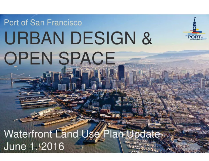
OPEN SPACE Waterfront Land Use Plan Update June 1, 2016 NT AND I - - PowerPoint PPT Presentation
Port of San Francisco URBAN DESIGN & OPEN SPACE Waterfront Land Use Plan Update June 1, 2016 NT AND I TS CI TY ATERFRO A W N PULLS I T ALL URBAN DESI G ETHER! G TO Great St reet s F abri c NTS F A CI TY O ATERFRO W F A
Port of San Francisco
F abri c Great St reet s
Shanghai Bund
M ARSEI LLES
Sydney Har bor
Sydney Har bor
HI G H LI NE NEW YO RK
HI G H LI NE NEW YO RK
Tor ont o W ave Deck
Vi ew f r om Tr easur e I sl and
Dol or es Par k
Rot t er dam Schouwbur gpl ei n
Tor ont o Envi r onm ent al Par k
The Phi l adel phi a Navy Yar d
Phi l adel phi a Navy Yar d
O sl o O per a House
Br ookl yn Br i dge Par k
Sugar Beach at Jar vi s Sl i p
Cr ane at Hunt er ’ s Poi nt
Embarcadero Historic District
Union Iron Works Historic District
City Form
New Development will Reflect its Location at the Water
New Development will Reflect its Location at the Water
New Development will Enhance the Adjacent City Neighborhood
City Form
Pier 27 Cruise Terminal
Piers15-17 Exploratorium
Exploratorium, Piers 15-17
City Form
City Form
City Form Compatible with Adjacent Neighborhoods
City Form
Delancey Street
Views
Streets connecting to the Waterfront should have views
View Policies
Provide views of the Bay and maritime activities at frequent intervals …
General Land Use
Urban Design
Open Space
Jefferson Street
Pier 43 Promenade
Harry Bridges Plaza
Cruise Terminal Plaza
Cruise Terminal Plaza
Ferry Plaza
Rincon Park
Bayview Gateway
Pier 14 Public Pier
Pier 1
Brannan Street Wharf
Brannan Street Wharf
Heron’s Head Park
Pier 94 Wetlands
City Form Views Open Space Historic Resources
PARKS
PARKS+PATHS & SIDEWALKS
PARKS+PATHS & SIDEWALKS +WATER LANDINGS
PARKS+PATHS & SIDEWALKS+WATER LANDINGS + WATER TRAIL
PARKS+PATHS & SIDEWALKS+WATER LANDINGS+WATER TRAIL
Pier 48 Pier 50
96
Crane Cove Ship repair Orton Historic core Forest City Waterfront site
Crane Cove Park history water play
Waterfront Parks, Trails and Open Space
Maritime berthing and public access Expand and enhance safe water recreation access Expand open space and recreational uses in parks Incorporate Blue Greenway network and guidelines Enhance the public realm Urban design values to inform upcoming adaptation efforts
Photo: Flickr | David Yu