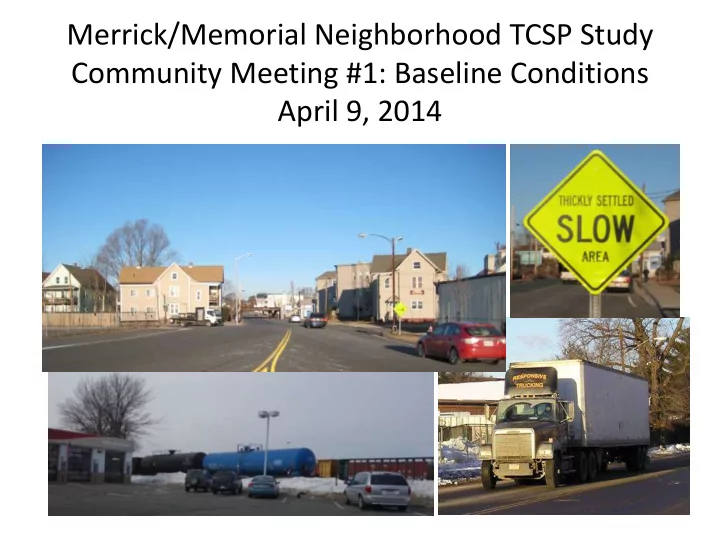
SLIDE 1
Merrick/Memorial Neighborhood TCSP Study Community Meeting #1: Baseline Conditions April 9, 2014
SLIDE 2 What is a TCSP Study? Transportation Community, and System Preservation
1. Improve the efficiency of the transportation system 2. Reduce environmental impacts of transportation 3. Reduce the need for costly future public infrastructure investments 4. Ensure efficient access to jobs, services and centers
5. Examine development patterns and identify strategies to encourage compatible private sector development patterns.
SLIDE 3 Purpose of This Meeting
- 1. Present Existing Baseline Conditions
- 2. Listen to community input about:
– How well is transportation working? – What do you like about the homes and businesses in the Merrick and Memorial neighborhoods today? – What would you like your neighborhood to look like in 20 years?
SLIDE 4
Study Area
SLIDE 5 Data Collection
- Average Daily Traffic – 29 locations
- Peak Hour Traffic – 16 Intersections
- Percentage of Heavy Vehicles
– Arrival/Departure data
- Vehicle Travel Speeds
- Existing Transit Service
– Bus Stops – Boarding/Alighting Data
- Crash Experience
- Parking Restrictions
- Roadway Geometry Data
- Intersection Operations
- Existing Signs
SLIDE 6
Daily Traffic
SLIDE 7
Heavy Vehicle Traffic
SLIDE 8
Heavy Vehicle Traffic
SLIDE 9 Safety
- West Springfield Police provided a summary of intersection crash
data for the 2010-2012 calendar years to identify any common conditions and possible causes.
- 278 total crashes
- Nearly 25 percent of all crashes results in a personal injury.
- Most crashes occurred under dry roadway conditions indicating
that weather did not contribute to the crash.
- Six intersections averaged five or more crashes per year over the
three year analysis period.
- The North End Bridge rotary has the highest average of 29 crashes
per year along with 1.8 crashes per million entering vehicles (MEV)
- The Memorial Bridge rotary has an average of 14 crashes per year
and a 0.96 crashes per MEV.
- Park Avenue at Union Street and Elm Street averages 13.6 crashes
per year and 0.92 crashes per MEV.
- Collision Diagrams were developed to assist in identifying crash
trends.
SLIDE 10 North End Bridge Rotary
Pattern of Rear End Collisions Pattern of Angle Collisions Pattern of Angle and Sideswipe Collisions (22 reports)
SLIDE 11
Existing Transportation Concerns
SLIDE 12
Proposed Transportation Improvements
SLIDE 13 Complete Streets
enhance opportunities for all transportation modes and users
– Pavement markings – Plantings – Improved Pedestrian Crossings – Enhanced Bus Stops
lower travel speeds
SLIDE 14
Examples of Complete Streets
Concepts that could be applied to Merrick and Memorial neighborhoods
SLIDE 15
Opportunity Focus Areas: Baseline Conditions
SLIDE 16 Big E
Baldwin Ave/ River Street Main St/ Mem Ave Major Neighborhood Core Arterial Streets Potential “Gateway” Opportunity Sites Agawam Bridge/ Big E Gateway
Draft April 9, 2014
Merrick/Memorial TCSP Opportunity Focus Areas
380 Union Street
SLIDE 17
Merrick Neighborhood
SLIDE 18
Merrick Neighborhood
2012 Tornado Recovery Plan recommended:
– Better zoning – Complete streets – Public recreation
SLIDE 19
Merrick Neighborhood
Example of improved Merrick zoning
SLIDE 20
SLIDE 21 Opportunity Focus Area Existing Conditions: Main at Memorial
Brownfield Missing sidewalk
SLIDE 22 Existing Conditions: Main at Memorial
- Incomplete sidewalks: Bresnahan from New Bridge to Memorial.
- Missing crosswalks at Memorial, New Bridge, Mulberry.
- Inadequate curbs/landscaping to define parking and traffic flow.
- Safety conflicts on Main Street.
- Insufficient parking for existing businesses (218 Memorial).
- Brownfield at 974 Main St. (Standard Plating Co).
- Prominent locations (CSX bridge) lack identifying icons and
graphics for way-finding.
- Lack of bus shelters, bike lanes for non-auto travel.
SLIDE 23
Memorial Neighborhood
SLIDE 24 Memorial Neighborhood: Opportunity Focus Areas
Big E
CSX
Baldwin/ River/ Sears Agawam Bridge Gateway
SLIDE 25 Memorial Neighborhood: Existing Land Uses
FY2014 West Springfield Tax Assessor Parcel Records
SLIDE 26 Opportunity Focus Area Existing Conditions: Agawam Bridge Gateway
Gate 1 Agawam
SLIDE 27 Existing Conditions: River at Memorial
- Future bridge reconstruction will affect this area.
- Large contiguous concentration of well-kept multi-family
homes and apartments.
- Traffic congestion on Memorial queuing for Big E Gate 1.
- Vacant lots at 1718 and 1672 Memorial Ave.
- Medallion Motel fills important local housing need.
- Numerous uncontrolled curb cuts on both sides of street.
- Dead end Cold Spring Ave a former connection to River St?
SLIDE 28
Existing Conditions: River at Memorial
SLIDE 29
Existing Zoning
SLIDE 30
Existing Concentration of Homes
SLIDE 31 Opportunity Focus Area Existing Conditions: Baldwin at River
Memorial
26 Sears Way
333 River St
SLIDE 32 Existing Conditions: Baldwin at River
- Poor intersection geometry at
Baldwin/River/Sears.
- 26 Sears Way vacant/underused due to
insufficient parking.
- Parking shortage for ballfield games.
- Baldwin is a cut-through.
- Memorial Elem. School is community anchor.
- Queuing area(s) for parent/student
drop-off/pickups.
SLIDE 33 NEXT STEPS
- Memorial School Study - April
- Greenhouse Gas Emissions Study – April
- May 14th Public Meeting
- 30-Day Public Participation Process – Draft
Report
- Final Report addressing comments
- Implementation
SLIDE 34
DISCUSSION