
SLIDE 1
08/12/2016 1
Bangladesh Climate Change Resilience Fund (BCCRF) And The Development Economics Research Group Present
■ ■ ■
Urban Flooding of Greater Dhaka in a Changing Climate
Building Local Resilience to Disaster Risk
Susmita Dasgupta, Asif Zaman, Subhendu Roy, Mainul Huq, Sawar Jahan and Ainun Nishat
■ ■ ■
Presenter:
- Dr. Susmita Dasgupta
Lead Environmental Economist, DECEE 2016
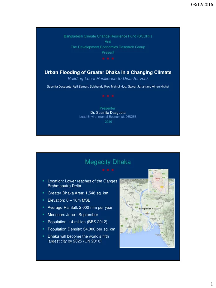
- Location: Lower reaches of the Ganges
Brahmaputra Delta
- Greater Dhaka Area: 1,548 sq. km
- Elevation: 0 – 10m MSL
- Average Rainfall: 2,000 mm per year
- Monsoon: June - September
- Population: 14 million (BBS 2012)
- Population Density: 34,000 per sq. km
- Dhaka will become the world’s fifth