
SLIDE 1
Meeting Objectives Update project status Review Community Advisory - - PDF document
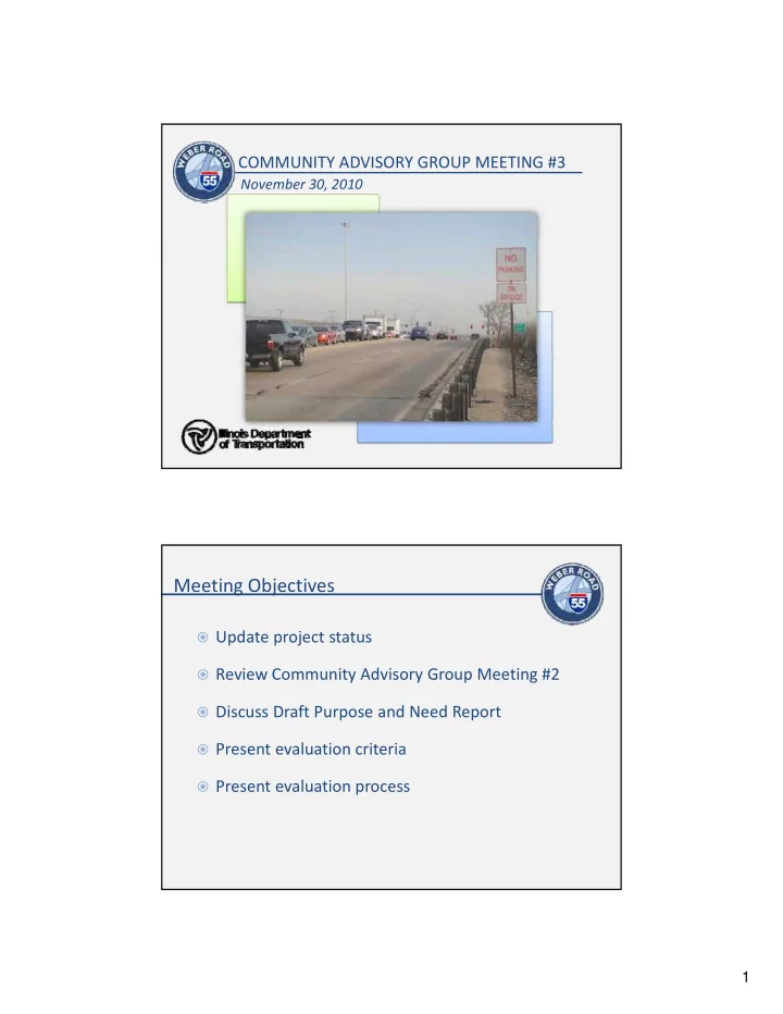
COMMUNITY ADVISORY GROUP MEETING #3 November 30, 2010 Meeting Objectives Update project status Review Community Advisory Group Meeting #2 Discuss Draft Purpose and Need Report Present evaluation criteria Present evaluation
CRASH DATA ANALYSIS
PUBLIC AND AGENCY COORDINATION
Traffic signal delay Unacceptable level of service on Weber Road High volume turn movements Inadequate lane Signals (traffic/ pedestrian) Street lighting/
Technical Analysis Problem Statement Stakeholder Input
service on Weber Road and I‐55 ramps Inadequate lane marking Merging issues Poor signage Traffic signal delay Street lighting/ pedestrian lighting Roadways compatible to existing businesses Roadways compatible to existing commuting patterns
Projected increase in traffic volumes Substandard geometrics High volume of trucks No alternate north‐ south routes Industrial centers and commercial areas Commuter corridor
Technical Analysis Problem Statement Stakeholder Input
Substandard geometrics (travel lanes, intersections) south routes Inadequate access to I‐ 55 Congestion Commuter corridor Congestion and delay
High number of crashes Multi‐modal conflicts Motorist delay Prevents efficient access Traffic Safety Congestion and delay
Technical Analysis Problem Statement Stakeholder Input
High number of rear‐ end and sideswipe collisions Crashes data consistent with congestion Congestion
Lack of transit options Bicycle/pedestrian access is limited Lack of pedestrian, ADA, and bike facilities Limited alternative Handicap accessibility Sidewalks and pedestrian crossings
Technical Analysis Problem Statement Stakeholder Input
access is limited Limited alternative transportation choices Improve pedestrian access and bike path continuity pedestrian crossings Bike lanes/recreation facilities
High number of crashes Multi‐modal conflicts Motorist delay Prevents efficient access Traffic Safety Congestion and delay
Technical Analysis Problem Statement Stakeholder Input
High number of rear‐ end and sideswipe collisions Crashes data consistent with congestion Congestion
High number of crashes Multi‐modal conflicts Motorist delay Prevents efficient access Traffic Safety Congestion and delay
Technical Analysis Problem Statement Stakeholder Input
High number of rear‐ end and sideswipe collisions Crashes data consistent with congestion No crosswalks or continuous bike paths Congestion Lack of pedestrian, ADA, and bike facilities Improve pedestrian access and bike path continuity Handicap accessibility Sidewalks and pedestrian crossings Bike lanes/recreation facilities
Identify Context Context Define Problem Evaluation Criteria Define and Evaluate Alternatives Identify Stakeholders
Preferred Alternative
Stakeholder Considerations / Community Assets Environmental Considerations / Compatibility with the Environment Engineering Considerations / Transportation Needs
Assess existing conditions
Assess existing conditions Evaluate alternatives on
Design deficiencies
Design deficiencies Right‐of‐Way Construction Costs
Baseline condition will be 2040
Baseline condition will be 2040
Evaluate alternatives on
Level of Service (LOS) Right‐of‐Way Construction Costs
Assess existing conditions
Assess existing conditions Evaluate safety performance of
Adherence to safety standards Projected change in crashes
ADA Compliance Pedestrian/bicycle compatible
Wetlands Floodplains Air Quality Traffic Noise Threatened and
Parks/Recreation Areas Agricultural Land Multi‐Use Trails Trees and Vegetation Surface Water Resources Groundwater Special Wastes Economic and Business Public Facilities
Property Acquisition Policies Act of 1970 Property Acquisition Policies Act of 1970
Justice)
Wetlands)
Effects )
1976
Act
Protection Act
Source: Google Maps
Blanding’s Turtle Ear‐leafed fox glove Iowa Darter
ALTERNATIVE 1 IMPACTS TO RESOURCES ALTERNATIVE 2 IMPACTS TO RESOURCES Achieve Purpose and Need
Resource Evaluation Criteria W tl d Number of wetlands impacted
Wetlands p Acres of wetland Impacts Floodplains Acres of floodplain impacted Threatened and Endangered Species Number of species encountered T&E species habitat loss Parks and Recreation Number of parks impacted Agricultural Lands Acres acquired Prime farmland impacted G d t N b f tb k h d Groundwater Number of setback zones encroached Special Waste Number of special waste sites impacted Economic and Business Number of business relocations Acres of business property acquisition Loss of direct access to Weber Road Loss of parking area Public facilities, schools and places of worship Number of facilities impacted
Alternative Development Process
Identify Context p Context Define Problem Evaluation Criteria Define and Evaluate Alternatives Identify Stakeholders
Preferred Alternative
Stakeholder Considerations / Community Assets Environmental Considerations / Compatibility with the Environment Engineering Considerations / Transportation Needs
Alternative Development Process
Identify Context p Context Define Problem Evaluation Criteria Define and Evaluate Alternatives Identify Stakeholders Preferred Alternative Establish transportation performance measures Inventory existing environmental constraints Identify evaluation metrics Alternative Development Process
Identify Context p Context Define Problem Evaluation Criteria Define and Evaluate Alternatives Identify Stakeholders Preferred Alternative Develop initial alternatives with stakeholders Confirm alternatives meet Purpose and Need and compare
Eliminate low ranked alternatives
Alternative Development Process
Identify Context p Context Define Problem Evaluation Criteria Define and Evaluate Alternatives Identify Stakeholders Preferred Alternative Detailed engineering and environmental analysis of remaining
Evaluate performance, impacts, and costs Recommend preferred alternative
F l Fl S i Initial Alternatives Eli i t Alt ti ( ) Fatal Flaw Screening Purpose & Need Screening Round 1 Analysis
Round 2 Analysis Eliminate Alternative(s) Eliminate Alternative(s) Eliminate Alternative(s)
Preferred Alternative Eliminate Alternative(s)