
SLIDE 1
Meeting No Meeting No. 6 . 6 Final Recommendation to Council - - PDF document
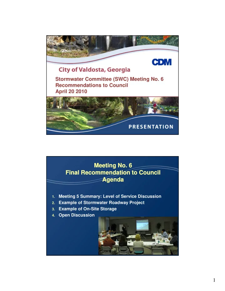
Stormwater Committee (SWC) Meeting No. 6 Recommendations to Council April 20 2010 Meeting No Meeting No. 6 . 6 Final Recommendation to Council Final Recommendation to Council Agenda Agenda Meeting 5 Summary: Level of Service Discussion 1.
Upsize Ashley Street Culvert
Create Regional Facility to
Road Road Crown Elevation Existing WSE (ft) Culvert + RSF WSE (ft) Delta 5 yr (ft) Existing WSE (ft) Culvert + RSF WSE (ft) Delta 50 yr (ft)
One Local Road Meets LOS (Lakeland Ave) = 1 pt Two Collector Roads Meet LOS (Lee St, Vallotton
One Arterial Road Meets LOS (Ashley St) = 20 pts
Ra nk Project Sub-Basin Benefits Cost $/Benefit 1 Ashley St. Culvert Imp. One Mile Branch 31 $ 675,000 21,774 2 River Street Regional Fac. Hightower Creek 39 $ 900,000 23,076 3 Lakeland Drive Reg. Fac Sugar Creek 16 $ 410,000 25,625 4
1.
1.
2.