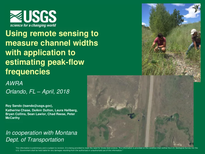
SLIDE 1 Using remote sensing to measure channel widths with application to estimating peak-flow frequencies
AWRA Orlando, FL – April, 2018
Roy Sando (tsando@usgs.gov), Katherine Chase, DeAnn Dutton, Laura Hallberg, Bryan Collins, Sean Lawlor, Chad Reese, Peter McCarthy
In cooperation with Montana
This information is preliminary and is subject to revision. It is being provided to meet the need for timely best science. The information is provided on the condition that neither the U.S. Geological Survey nor the U.S. Government shall be held liable for any damages resulting from the authorized or unauthorized use of the information."
SLIDE 2
Outline
▪ Background ▪ Methods ▪ Preliminary results ▪ Conclusions/Limitations
SLIDE 3 Peak-Flow Frequency Analysis
Commonly reported QAEPs 50% to 0.2%
(2-year to 500-year recurrence interval) What about at stream locations that don’t have gaging stations?
- Annual Exceedance Probabilities (AEP)
- a.k.a Flood frequency, X-year flood, peak-flow frequency, recurrence intervals
- Q is the streamflow discharge value associated with a given AEP.
SLIDE 4
Methods for estimating QAEPs at ungaged locations
▪ Regression analysis
▪ Ordinary, weighted, generalized least squares
▪ Region of Influence ▪ Hydrologic models ▪ Machine learning
Explanatory variables needed!!!!
SLIDE 5
Current Regression Equations
▪ Sando, Sando,
McCarthy, and Dutton, 2016
▪ Regional Regression
Equations based on Basin Characteristics
▪ Channel Width-data
NOT included
SLIDE 6
Previous Regression Equations
▪ Parrett and Johnson,
2004
▪ Included Regression
Equations based on Channel Width
▪ Also weighting option for
basin characteristics and channel width
SLIDE 7
Developing Regional Regression Equations using Channel-Width Data
▪ Historical (1970s-1990s) on-
site channel-width measurements
▪ New (2017) on-site channel-
width measurements
▪ Channel-width
measurements from aerial photographs
SLIDE 8 Why?
▪ Previous studies – can be more reliable ▪ Basin characteristics can be complex ▪ Basin characteristics might predict what
could happen (a priori)
▪ Channel width formed by prevailing
- streamflow. Show what has happened (a
posteriori)
SLIDE 9 20 40 60 80 100 120 140 160 Percent error West 20 40 60 80 100 120 140 160 Percent error Northwest 20 40 60 80 100 120 140 160 Percent error Northwest Foothills 20 40 60 80 100 120 140 160 Percent error Northeast Plains 20 40 60 80 100 120 140 160 Percent error East-Central Plains 20 40 60 80 100 120 140 160 Percent error Southeast Plains 20 40 60 80 100 120 140 160 Percent error Upper Yellowstone- Central Mountain 20 40 60 80 100 120 140 160 Percent error Southwest
Preliminary Information-Subject to Revision. Not for Citation or Distribution.
SLIDE 10 Methods
Fieldwork component Remote sensing component
SLIDE 11
Site locations
SLIDE 12
Fieldwork
70 locations At each location:
▪ 3 Active channel widths ▪ 3 Bankfull channel widths ▪ Channel bed/bank material ▪ Vegetation
SLIDE 13 Channel Widths
Might be easier to see for ephemeral streams Might be easier to see for perennial streams
SLIDE 14 Bankfull Channel Width
06177820 Horse Creek Trib near Richey
SLIDE 15 ▪ 2 independent
measurers
▪ 517stations ▪ Natural Color NAIP ▪ July/August 2015 ▪ Parameters
▪
Channel width
▪
Channel type
▪
Vegetation
▪
Channel constraints
▪
Measurer confidence 06024450 Big Hole River bl Big Lake Cr at Wisdom MT
Remote sensing
SLIDE 16 2017 Field Measurement (R2 = 0.92) Historical Field Measurement (R2 = 0.84)
Preliminary Results
Preliminary Information-Subject to Revision. Not for Citation or Distribution.
SLIDE 17 Channel types
Braided/Depositional Meandering/wide valley Steep/alpine Transitional Undetermined
R2 = .77 AIC = 1,794 R2 = .77 AIC = 6,436 R2 = .91 AIC = 1,621 R2 = .93 AIC = 950 R2 = .59 AIC = 1,615
Preliminary Information-Subject to Revision. Not for Citation or Distribution.
SLIDE 18 Vegetation Type
Bare dirt Trees Grass Shrubs
R2 = .76 AIC = 625 R2 = .89 AIC = 2,319 R2 = .80 AIC = 6,679 R2 = .85 AIC = 3,229
Preliminary Information-Subject to Revision. Not for Citation or Distribution.
SLIDE 19 Permanent Vegetation Clarity
High clarity Low clarity Medium clarity
R2 = .80 AIC = 7,318 R2 = .09 AIC = 1,575 R2 = .82 AIC = 3,315
Preliminary Information-Subject to Revision. Not for Citation or Distribution.
SLIDE 20 Channel constraint
Constrained (road features) Constrained (stabilization) Constrained (natural) Unconstrained Undetermined
R2 = .81 AIC = 971 R2 = .93 AIC = 45 R2 = .93 AIC = 1,310 R2 = .83 AIC = 10,150 R2 = .89 AIC = 471
Preliminary Information-Subject to Revision. Not for Citation or Distribution.
SLIDE 21 Subjectivity of site selection
Low subjectivity Medium subjectivity High subjectivity
R2 = .82 AIC = 6,778 R2 = .77 AIC = 4,344 R2 = .19 AIC = 1,431
Preliminary Information-Subject to Revision. Not for Citation or Distribution.
SLIDE 22
Preliminary Conclusions
▪ Using aerial photography to measure channel widths
might work best for:
▪ Streams that don’t change much with riparian
zones comprised of permanent vegetation with clearly visible edges.
▪ Including Lidar derivatives (channel bathymetry,
canopy height, channel type, channel migration) could improve estimates
SLIDE 23
Limitations
▪ Results are preliminary ▪ Changes in channel geometry from natural
and anthropogenic factors
▪ Gage locations often at non-ideal locations ▪ Basin sizes vs spatial resolution of imagery ▪ Large and/or recent flood events
Questions?