
SLIDE 1
M7 Naas to Newbridge By-Pass Upgrade Scheme - Landscape and Visual Impact Assessment
1
Date: 13-05-14
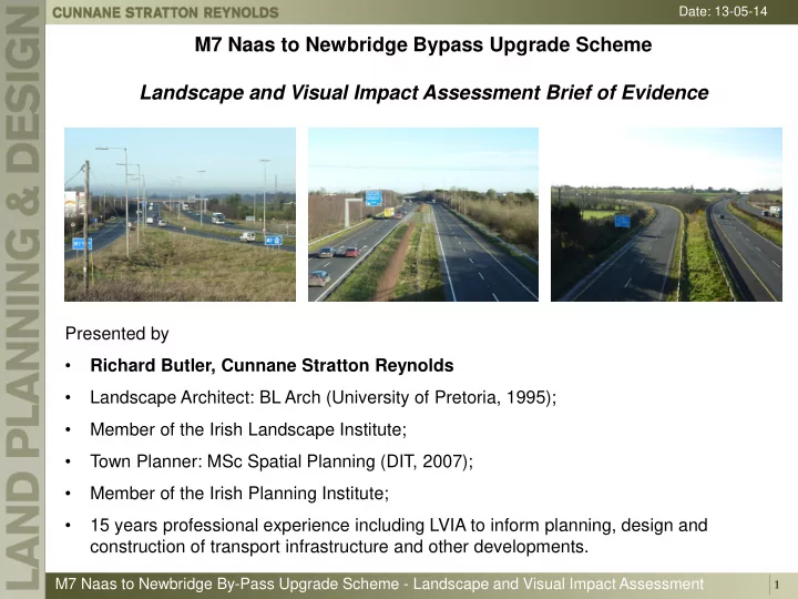
M7 Naas to Newbridge Bypass Upgrade Scheme Landscape and Visual Impact Assessment Brief of Evidence
Presented by
- Richard Butler, Cunnane Stratton Reynolds
- Landscape Architect: BL Arch (University of Pretoria, 1995);
- Member of the Irish Landscape Institute;
- Town Planner: MSc Spatial Planning (DIT, 2007);
- Member of the Irish Planning Institute;
- 15 years professional experience including LVIA to inform planning, design and