
SLIDE 1
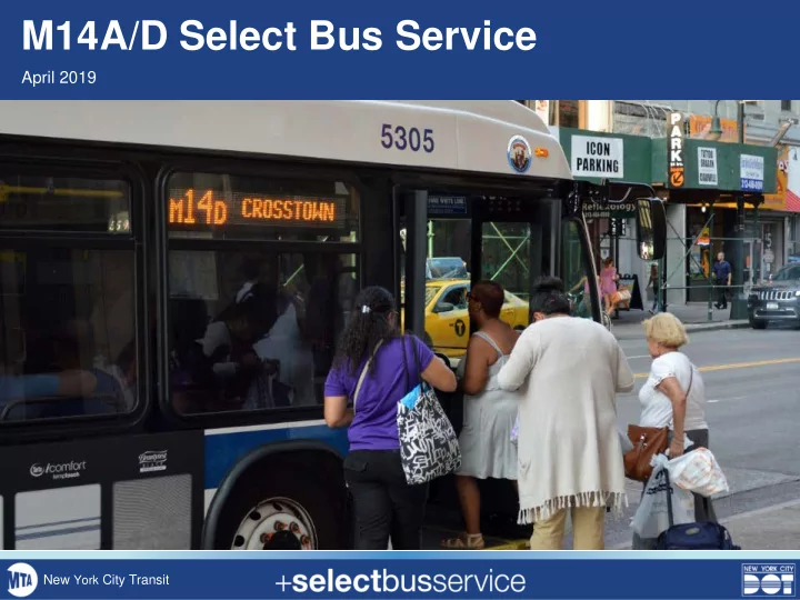
M14A/D Select Bus Service
April 2019
New York City Transit
M14A/D Select Bus Service April 2019 New York City Transit - - PowerPoint PPT Presentation
M14A/D Select Bus Service April 2019 New York City Transit Background M14 was identified as a critical future SBS corridor in past BRT studies as far back M14 Select Bus Service as 2011 M14A/D is second-busiest bus route in
April 2019
New York City Transit
2
3
4
5
Public Outreach Planning & Analysis
Fare Machine Installation
14th St Markings Installation SBS Launch
14th Street A/D Branches A/D Branches 14th Street
6
7
8
0.0 5.0 10.0 15.0 20.0 25.0 30.0 35.0 40.0 45.0 50.0
Average Running Time (mins) Delay At Bus Stop In-Motion
M14A M14D
PM Peak – May 2018
34% 25% 41% 43% 25% 32%
9
10
11
12
13
14
Proposed Turn Restrictions on 14th Street
as part of SBS street design
Other safety improvements to be explored on:
boarding space
bus boarding space, left turn traffic calming, turn restrictions
New Restriction Existing Restriction
15
shutdown
through traffic to other crosstown streets
pedestrian surges under original tunnel reconstruction plan
vehicles on both sides of every residential block
busway
into effect
Preliminary projected speed improvement: 20-35%, plus reliability benefits
16
17
improvements at intersections
parking/loading on some block faces
Preliminary projected speed improvement: 12-20%, plus reliability benefits
18 Parking/Loading (could be on north or south block face) SBS stop Curbside bus lane (potential parking/loading at designated times)
Manhattan Crosstown SBS examples
23rd Street 34th Street
1 general traffic lane in each direction
19 Physical protection at the edge of a curbside bus lane
23rd Street: Bus lane protection approaching 6th Avenue
parking)
via gaps in treatment
curb access needs
typologies
20