
SLIDE 1
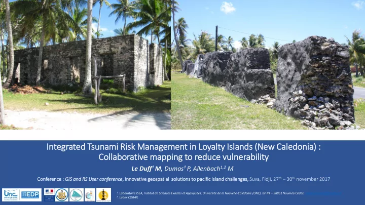
In Integrated Tsu sunami Risk isk Management t in in Loyalty ty Isla Islands (N (New Cale ledonia) ) : : Coll llaborati tive mapping to reduce vu vuln lnerability ty
Le Duff¹ M, Dumas¹ P, Allenbach1,2 M
- 1. Laboratoire ISEA, Institut de Sciences Exactes et Appliquées, Université de la Nouvelle-Calédonie (UNC), BP R4 – 98851 Nouméa Cédex. matthieu.leduff@yahoo.fr
- 2. Labex CORAIL
Con
- nference :
: GIS S an and d RS S User ser con
- nferenc
nce, , Inn nnovative geo eospatial sol solutions to
- paci
pacific isla island ch challenges, s, Suva, Fidji, 27th – 30th november 2017