
SLIDE 1
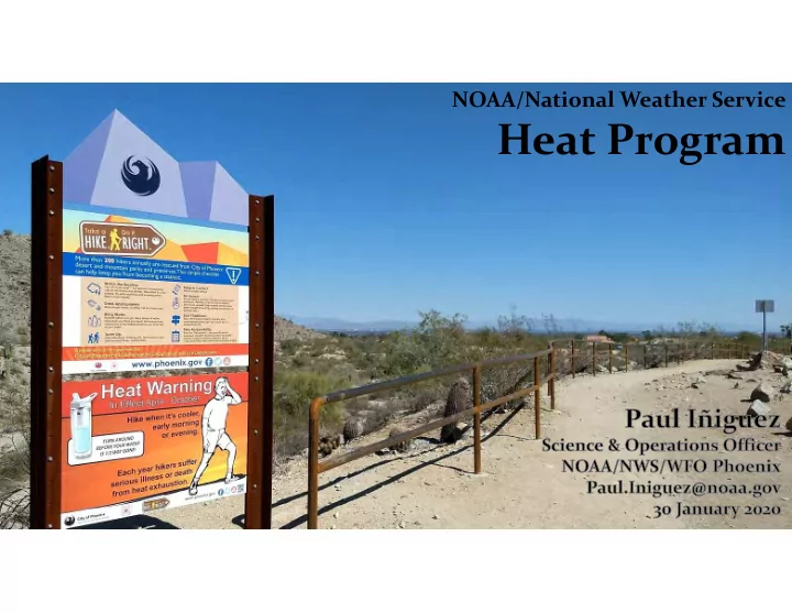
NOAA/National Weather Service
Heat Program Challenge: Risk Perception Source: NOAA, ADHS - - PowerPoint PPT Presentation
NOAA/National Weather Service Heat Program Challenge: Risk Perception Source: NOAA, ADHS Challenge: Risk Perception Source: NOAA, ADHS Challenge: Visual Threat Challenge: Visual Threat Before Heat Wave After Heat Wave 75 F 115 F
NOAA/National Weather Service
Source: NOAA, ADHS
Source: NOAA, ADHS
PHX averages ~110 days of 100+ °F each year. Normal high temperature for July is 106 °F. Average 8 days with a low temperature of 90+ °F.
Weather.Gov/Phoenix
1-mile by 1-mile Grid ~800 in Phoenix Area 3,783 in Maricopa County 47,083 in Arizona
https://www.wrh.noaa.gov/wrh/heatrisk/
temperatures into a climatological context based on location & time of year.
heat.
for in elevated low temperatures.
when & where to issue official heat alerts across the Western U.S.
~95th Percentile
CDC Collaboration
Seasonal Split
Similar Process for Low Temperatures
Thresholds Official NWS Forecast
(High & Low Temperature)
NWS HeatRisk
None Low Mod High Very High
Alpine Flagstaff Phoenix
– High Confidence (80%+) – HeatRisk of High (red) or Very High (magenta) – High/Very High Impact Level (e.g., increased morbidity) Expected – May be preceded by “Excessive Heat Watch” (confidence 50%)
– High Confidence (80%+) – For AZ, High Elevation Areas Only (~5,000’+) – HeatRisk of Moderate (orange) – Moderate/High Impact Level Expected
Heat Warnings (2017-2019) Heat Advisory (2017-2019)
(MinT) temperature records were tied and almost 800 (800) were broken across the West.
flight cancelations, and an increase in heat morbidity/mortality.
(location of Phoenix), roughly 50 heat-related deaths
Note Excellent Coordination/Consistency Across the Southwest!
EXCESSIVE HEAT WATCH EXCESSIVE HEAT WARNING HEAT ADVISORY
Paul.Iniguez@noaa.gov | Weather.Gov