
SLIDE 1
GRMP 2018 Bi-annual Review Meeting Peace / High Level Districts - - PowerPoint PPT Presentation
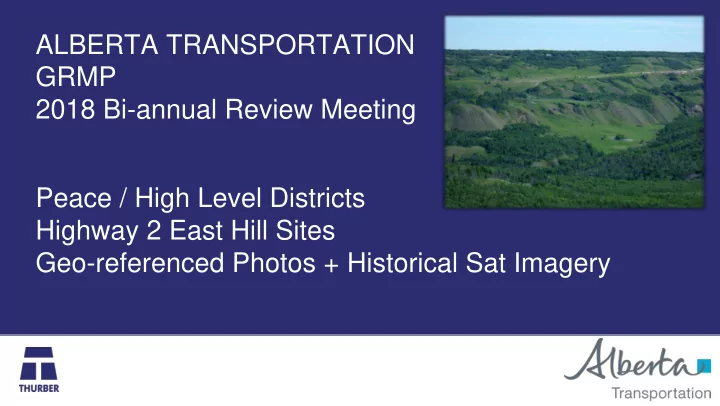
ALBERTA TRANSPORTATION GRMP 2018 Bi-annual Review Meeting Peace / High Level Districts Highway 2 East Hill Sites Geo-referenced Photos + Historical Sat Imagery Peace River Region - Highway 2 - East Hill Site area directly east of the
2
Town of Peace River
segment of the Highway running along on the south- facing wall of the Heart River Valley.
mass wasting processes that include channelized erosion, earth flows, deep and shallow landslides within colluvium and glaciolacustrine sediments (Glacial Lake Matthews).
3
4
5
CHALLENGES
lead to future instability or retrogressive processes that are cheaper / more practical to mitigate earlier (i.e. proactive approach)
establish what are the existing conditions, what has changed and setup consistent framework of comparison to make efficient use of time on site.
broader site implications from the ground LiDAR and aerial imagery tools can help
establish timeline or evaluate rate of geohazard processes
6
7
8
tracks, aerial imagery, marked terrain features, ect can be quickly compared with previous years (photo comparison still manual)
9
10
11
12
13
14
15
1 m LiDAR (2007)
16
17
18
19
2013 2016
20
21
development of the site plan with focus
activity and/or future potential to cause instability or hazard to the highway
satellite/aerial imagery allows broader view of site processes
to the development process and rate of mass waste events
and guide the inspection process, esp. for future inspectors
technology and more frequent data gathering (e.g. drone survey)