for the Theory and Practice of International Relations AidData is - - PowerPoint PPT Presentation

for the theory and
SMART_READER_LITE
LIVE PREVIEW

for the Theory and Practice of International Relations AidData is - - PowerPoint PPT Presentation

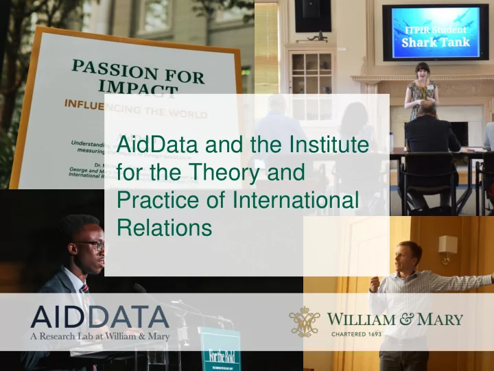
AidData and the Institute for the Theory and Practice of International Relations AidData is a research and innovation lab making development finance information accessible and actionable. AidData Operations at a Glance 10+ years


slide-1
SLIDE 1

AidData and the Institute for the Theory and Practice of International Relations

slide-2
SLIDE 2

AidData is a research and innovation lab making development finance information accessible and actionable.

slide-3
SLIDE 3

AidData Operations at a Glance

  • 10+ years making development finance more

transparent and accountable

  • Field operations and partnerships in ~20

countries

  • Manages research consortium with over 100

scholars from 50 universities

  • Funding from and partnerships with bilaterals,

multilaterals, private foundations

slide-4
SLIDE 4

Origins of AidData

  • 2003 student-faculty research project
  • Environment and Development: Aid Allocation and

Impact

  • But…Need Better Data… Missing Data…

Inaccurately Categorized Data

  • NSF
  • Real-world interest: World Bank and MCC
  • Gates and Hewlett Funding: AidData 1.0
  • Most comprehensive Project-Level Database
  • Over 1 million rows
  • More granular and accurate
slide-5
SLIDE 5

Geocoding: the process of finding and assigning geographic coordinates to a development project.

slide-6
SLIDE 6

Proving the concept: Mapping for Results (2010)

“This is a critical step toward being able to ask the right questions about whether aid is going to the right places and what impact it has.”

SIMON MIZRAHI, Manager of the African Development Bank’s Quality Assurance and Results Department

slide-7
SLIDE 7

Proving the concept: Mapping for Results (2010)

“[AidData] took our geo-coded project data and data on project performance… and then mapped it against sub-national violence data .... Their surprising results challenged

  • ur conventional wisdom.”

CAROLINE ANSTEY, World Bank Managing Director

slide-8
SLIDE 8

Ethnic Power Relations and Aid Distribution

Ogaden, traditional home to politically-excluded Somalis, receives few World Bank projects compared to other regions.

slide-9
SLIDE 9

Geocoding all donors in Malawi (Summer 2011)

  • Leveraged Development Gateway relationships

with 25+ government partners using Aid Management Platform (AMP)

  • Partnered with Malawi Ministry of Finance, UT

Austin CCAPS

  • Geocoded 30+ donors; 700+ projects; $7.5

billion in commitments

  • First “Open Aid Map”
  • Showcased at annual AMP workshop;

generated further demand

slide-10
SLIDE 10

Taking Geocoding to Scale: USAID HESN

AIDDATA CENTER FOR DEVELOPMENT POLICY

  • 1. Geocoding all activities in up to 15 partner countries
  • 2. Creating a research consortium for geospatial

analysis of aid

  • 3. Developing cutting-edge tools for data collection,

geospatial analysis, data visualization, and knowledge sharing

  • 4. Incentivizing additional research and innovation

through challenge grants and seed funding

  • 5. Increasing capacity of local actors to access and use

geospatial aid data

slide-11
SLIDE 11

AIDDATA AT WILLIAM & MARY Human Capital: Research and Teaching Integration Financial Capital: Overhead Used to Seed New Projects INCUBATED PROGRAMS AidData Summer Fellows ITPIR Shark Tank International Development Seminar

slide-12
SLIDE 12

Alena Stern

Class of 2012

slide-13
SLIDE 13

Teaching, Research & Internatio nal Policy Reform Incentives AidData

A&S Reves VPR ITPIR AidData Bosnia CAD PIPS TRIP VIPCAT

AidData is housed within ITPIR

slide-14
SLIDE 14

LTL: Listening to Leaders Understanding the priorities and perspectives of leaders in low- and middle-income countries, and measuring the performance of external development partners with

  • pen-ended and close-

ended feedback data

slide-15
SLIDE 15

TDF: Transparent Development Footprints Tracking underreported financial flows from public and private donors, lenders, and investors that publicly disclose little about their overseas activities

slide-16
SLIDE 16

SDI: Sustainable Development Intelligence Geographic and demographic tracking and targeting of sustainable development investments to ensure no one is left behind

slide-17
SLIDE 17

GIE: Geospatial Impact Evaluations

Rigorously evaluating the impacts and cost effectiveness of specific interventions and large investment portfolios with spatial data

slide-18
SLIDE 18

GEO: Geospatial Data Framework Creating high-resolution, high- frequency measures of development outcomes, powerful spatial data integration and extraction infrastructure, and next- generation geospatial analysis tools