
SLIDE 1
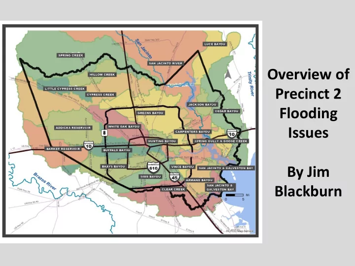
Overview of Precinct 2 Flooding Issues By Jim Blackburn
Flooding Issues By Jim Blackburn New Non-Profit Formed Dedicated - - PowerPoint PPT Presentation
Overview of Precinct 2 Flooding Issues By Jim Blackburn New Non-Profit Formed Dedicated to Designing a Flood- Resilient Houston And Calling Out The Truth bcinitiative.org Candidate Forum, June 29 ---- 2-4 p.m., Leonel Castillo Community
Overview of Precinct 2 Flooding Issues By Jim Blackburn
New Non-Profit Formed Dedicated to Designing a Flood- Resilient Houston And Calling Out The Truth
bcinitiative.org
Candidate Forum, June 29 ---- 2-4 p.m., Leonel Castillo Community Center, 2101 South Street, Houston 77009
Political Flood Literacy
City Council Districts
United States Representative Districts
Texas Senatorial Districts
Texas House Districts
HARRIS COUNTY COMMISSIONER
Watersheds
HARRIS COUNTY
Homes Flooded
39,349 45,890 347,334 295,694 88,895 433,250 444,602 717,198 284,727 164,172 528,720 75,908 57,249 89,753 127,350 197,570 36,878 7,689 14,014 52,386 14,952
100,000 200,000 300,000 400,000 500,000 600,000 700,000 800,000 Be Honest Addicks- Barker Failure Impact Zone
EVACUATION ZONES
PCT 2 EVAC ZONES ZONE A (in Pct 2): 10,814 Ac ZONE B (in Pct 2): 79,688 Ac ZONE C (in Pct 2): 142,326 Ac
Pct 2
LAND 357,863 Ac EVAC ZONES 232,828 Ac 65% Evac Zone
This surge information marker was located in Precinct 2 after Ike and then removed – why?
HGAPS Track Evaluation
Reasonable Future Hurricane Surge Event Ike Plus 15% Approximately 20 foot surge at the coast 25 Foot Surge Up the Ship Channel
Ultrahazardous Chemical Plant Electrical Grid Knocked Out By Hurricane Secondary Generators Flooded – Major Release Occurred
Tanks At Risk From 25’ Surge
Spill Volumes for Different Scenarios
Deep Deepwater ter Horiz Horizon
210 Mill 0 Mill Gall Gallon
s of
Oil il Exx Exxon
aldez ez – 10 10 Mill Mill Gallons Gallons Of Of Oil Oil 25’ Surge – 90 90 Mil Mill l Gal Gal of
Oil an and Hazar d Hazardo dous us Subst Substan ance ces
HARRIS COUNTY COMMISSIONER 0 – 25 FT ELEVATION SURGE ZONE LAND 357,863 Ac 0 – 25-Ft SURGE 123,390 Ac (34 %)
STORM SURGE
Red = 20 foot surge Harris Galveston County Vulnerable Coastal Area
Regional Storm Surge Reduction Strategies
Phase III: HGAPS Lower-Bay Gate
Evaluation of Strategies: Lower-Bay Gate
Phase III: HGAPS Surge Evaluation
Ike+15% maximum water elevations for p7 landfall (a) “Without” Lower-Bay and (b) “With” Lower-Bay Surge Protection Strategy (levee and gate features shown in dark black lines)
a) Ike+15%, p7, Baseline b) Ike+15%, p7, Lower-Bay
Mid-Bay Gate
Galveston Bay
– Provides protected measures to most populated regions and the HSC – Able to capture chemicals from spills – Location in shallow water will likely allow for enhanced operation during storm events
Regional Storm Surge Reduction Strategies
Phase III: HGAPS Mid-Bay Gate
Regional Storm Surge Reduction Strategies
Phase III: HGAPS Mid-Bay Gate
Evaluation of Strategies: Mid-Bay Gate
Phase III: HGAPS Surge Evaluation
a) Ike+15%, p7, Baseline b) Ike+15%, p7, Mid-Bay
Ike+15% maximum water elevations for p7 landfall (a) “Without” Mid-Bay and (b) “With” Mid-Bay Surge Protection Strategy (levee and gate features shown in dark black lines)
Phase III: Funding Source???
Baseline Conditions Lower Bay Mid Bay Upper Bay Industrial Damages $37.0 B $0 $0 $0 Residential Damages $8.9 B $1.5 B $2.5 B $4.8 B Total Damages $45.9 B $1.5 B $2.5 B $4.8 B Reduced Damages (Benefit)
$43.4 B $41.1 B Cost
$2.8 B $2.8 B
ROGE RS PART NERS HR& A ADVI SORS
The Archipelago
Slide Courtesy of Anne Loes Nillesen
Maeslan t Barrier
Ik Ike Plus e Plus 15% W 15% With ith The he “Archipelag
Access” In Place Place
As a Safety Valve, Why Not Start Permitting On the Archipelago
Today?