
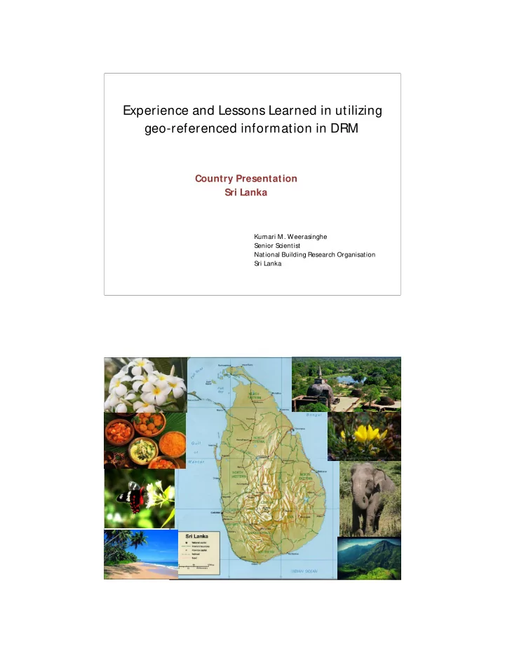
SLIDE 1
Experience and Lessons Learned in utilizing geo-referenced information in DRM
Country Presentation Sri Lanka
Kumari M . Weerasinghe Senior Scientist National Building Research Organisation Sri Lanka
Experience and Lessons Learned in utilizing geo-referenced - - PDF document
Experience and Lessons Learned in utilizing geo-referenced information in DRM Country Presentation Sri Lanka Kumari M . Weerasinghe Senior Scientist National Building Research Organisation Sri Lanka Floods NATURAL HAZARDS IN SRILANKA
Kumari M . Weerasinghe Senior Scientist National Building Research Organisation Sri Lanka
§
Floods
§
Landslides and mass movement s
§
Drought
§
Cyclones
§
Coastal erosion
§
Subsidence and erosion
§
Ground settlements
§
Tsunami
§
Earthquake
Bangkok, Thailand 2012
system for disaster risk management held in Dehradun, India from 26th – 29th August, 2013
disaster risk reduction, held in Seoul, Korea from 28th October to 17th November, 2013.
SLS DI is viewed as the technology, policies, standards, human resources and related activities necessary to collaborate, acquire, process, distribute, use, maintain and preserve spatial data throughout all levels of government, private and and citizens for efficient service delivery
Field verification and additional data collection Transferring data to base maps
Integration of weighted maps and preparation of hazard zonation map Preliminary hazard zonation map Calibration with actual landslide map and field checking
(Aerial Photo / ABMP maps and geology maps)
(overburden deposits)
(landform map)
Digitizing of attribute maps
Statistical analysis to evaluate and assign weights
landslides
Final Landslide Hazard Zonation M ap Final Landslide Hazard Zonation M ap www.nbro.gov.lk
Landslides not likely to occur (expect for flood plains) Landslides can be expected Landslides most likely to occur
1:50000 scale maps are published in www.nbro.gov.lk 1:10000 scale maps are issued on request M aps are being utilized by both government and private sector organizations for disaster impact assessments and development planning Accuracy levels were considered as sufficient for originally intended use of the hazard maps
Output of the participation in Mini Project 2006/ 2007 at AIT
Stable Moderately Stable Quasi Stable Lower Threshold Upper Threshold Defended Total Area (km2) 89.30 10.20 13.50 28.30 9.60 2.00 153.70 % Area 58.10% 6.64% 8.78% 18.41% 6.25% 1.30% 100.00% No of Landslides 6 2 8 7 6 29 % Landslides 20.69% 0.00% 6.90% 27.59% 24.14% 20.69% 100.00% Landslide Density 0.07 0.00 0.15 0.28 0.73 3.00 0.19
Indicate instability Indicate marginal instability
Structural and/or non structural Mitigation of landslide risk
landslide early warning
Landslide early warning message is issued by NBRO EW is disseminated through DMC and Media
Increasing trend of manmade landslides
Awareness among communities on living with landslides
Structural and/or non structural Mitigation of landslide risk landslide early warning
Landslide hazard zonation mapping
Obtaining landslide clearance prior to approval of all construction in landslide prone areas Government’s regulation Identification of landslide hazard potential Performing site specific investigations Implement const ruction by adhering t o the sit e specific recommendations and guidelines Builder NBRO
With the new regulation, demand for landslide hazard maps was increased General public also started to utilize the maps Problems were faced in interpretation of hazard potential by the non technical map users
1. Resolution of the map (presently available at 10 m and 50 m accuracy ) was not sufficient in borderline cases 2. Difficulty in demarcating hazard zonal boundaries
3. Lack of access to and/ or knowledge in using GIS software for using the maps in digital form 4. Inabilit y to identify t he possible adverse impacts due to hazard potentials in upslope areas 5. Lack of t echnical knowledge to ident ify the threats due to active and/or dormant landslides locat ed in the upper slopes 6. Overlooking the increase in t he severity of hazard potential due to haphazard ground modifications
Even w hen the maps are used in digital form, misinterpretations occur when boundaries of several hazard zones cross a plot of land Example: Land parcel A – Belongs to a single hazard zone represented by the color yellow. Land parcel B – Belongs to two hazard zones interpreted by colors orange and yellow Land parcel C – Belongs to four hazard zones interpreted by colors green, yellow , orange and red In the case of land parcels B and C hazard potential may possibly be interpreted to the advantage of the user.
User Select ion of District Select ion of Admin Division Select ion of Grama Niladhari Division Select ion of Land Parcel Number
Is there a past record of landslides/ rock falls/ subsidence within the land parcel Yes No Is there a past records of landslides/ rock falls/ subsidence within the enclosing catchment No Yes Is the land located within a forested area No Yes Construction/ development is not allowed Obtaining clearance from forest conservation Dept may be required Yes Construction/ development is allowed. Obtaining landslide clearance is not required Is the building density of the land parcel is <= 0.1 No Is the inferred landslide hazard potential is very high Is the land parcel located in an extremely steep slope Is the inferred landslide hazard potential is very low and the land parcel is located in a flat terrain Yes No No Yes Obtaining landslide clearance is required prior to approving construction/ development No Yes
Landslides are most likely to occur in this plot of land Building construction or any other development is not allowed within this land parcel