
SLIDE 1
Ecosystem Services Demonstration Project: Tampa Bay, FL
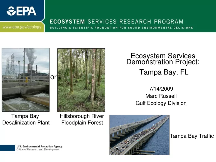
7/14/2009 Marc Russell Gulf Ecology Division Tampa Bay Desalinization Plant Hillsborough River Floodplain Forest Tampa Bay Traffic
- r
Ecosystem Services Demonstration Project: Tampa Bay, FL or - - PowerPoint PPT Presentation
Ecosystem Services Demonstration Project: Tampa Bay, FL or 7/14/2009 Marc Russell Gulf Ecology Division Tampa Bay Hillsborough River Desalinization Plant Floodplain Forest Tampa Bay Traffic Benefits Ecosystem Services Introduction
2
3
4
5
Technical advisory group
expert input
Economic value
Initial valuation index
Local needs
representatives
questions to address with research
State of the science
knowledge gaps for important and valued ecosystem services
0% 5% 10% 15% 20% 25% 30% Recreation Aesthetics Flood Control Water quality regulation Habitat functions Climate Regulation Fresh Water Supply
Jordan et al. Submitted. Accounting for Natural Resources and Environmental Sustainability: Linking Ecosystem Services to Human Well-Being
6
5 10 15 20 25 30 35 40 45
Urban Agriculture Herbaceous Forest Wetland Barren Transportation
Percent of TB Watershed
7
8
9
10
11
12
13
14
15
16
17
NWF Report 2006 “An Unfavorable Tide”
18
Skyway bridge across bay Hillsborough River Cypress Alafia Banks Spoonbills Downtown Tampa Little Manatee River
19
1) USGS National Climate Change and Wildlife Science Center 1) USGS National Climate Change and Wildlife Science Center
Hydrology, redox potential of soils, and temperature
2) Urban Long Term Research Area (ULTRA 2) Urban Long Term Research Area (ULTRA-
EX) -
NSF/USFS
gradients. Impervious surface, nitrogen loading
3) Gulf of Mexico Alliance (GOMA) 3) Gulf of Mexico Alliance (GOMA)
4) ESRP 4) ESRP – – Nitrogen Nitrogen
removal rate measurements under stressor gradients. Landscape Development Intensity index (LDI), nutrient loads
from upland forest through wetlands and into seagrass beds.
20
HUC12 sub-
watersheds in the Tampa Bay watershed were Tampa Bay watershed were mapped using the 2006 Florida mapped using the 2006 Florida Land Use, Land Cover Classification Land Use, Land Cover Classification System (FLUCCS) System (FLUCCS)
4 wetland classes (National Wetlands Inventory defined) Wetlands Inventory defined)
3 landscape classes (Landscape Development Intensity index) Development Intensity index)
land use
developed land use
This stratified-
random survey design provides 120 potential research provides 120 potential research sites sites