
SLIDE 1
Community Access and Rural Transport Services Indicators Website: - - PowerPoint PPT Presentation
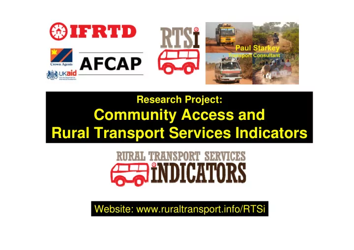
Research Project: Community Access and Rural Transport Services Indicators Website: www.ruraltransport.info/RTSi Research objective Research aims to identify, develop, test and share rural transport services indicators relevant to the key
professional
(numerical or graphical, still to be developed)
ride printout.
vehicle type and user categories)
freight tariffs, regulation, development impacts
(disaggregated)
methodology
and Kenya
assessments (four?)